
| Distance / Altitude | Location | Report Date / Time | Live Weather | Wind | Gusts | Temp. | Visibility | Cloud |
|---|---|---|---|---|---|---|---|---|
| 28 km NE / 211 m | Atka Airport (Alaska) | 2025-12-24 19:56 local (2025/12/25 05:56 GMT) | - | moderate winds from the E (22 km/h at 90) | 7°C | 0.0 | ||
| 31 km NE / 3 m | BUOY-ATKA2 (Marine) | 2025-12-24 21:00 local (2025/12/25 07:00 GMT) | moderate winds from the ESE (22 km/h at 120) | — | - | |||
| 149 km WSW / 506 m | Adak Naval Air Station Airport (Alaska) | 2025-12-24 19:56 local (2025/12/25 05:56 GMT) | Light rain | light winds from the ESE (19 km/h at 110) | 6°C | 13 | overcast | |
| 149 km WSW / 3 m | BUOY-ADKA2 (Marine) | 2025-12-24 21:00 local (2025/12/25 07:00 GMT) | light winds from the SE (17 km/h at 130) | 8°C | - | |||
| 166 km ESE / 3 m | Central Aleutians Buoy (Marine) | 2025-12-24 21:10 local (2025/12/25 07:10 GMT) | - (- km/h at -) | — | - | |||
| 413 km SW / - m | SHIP699 (ocean) | 2025-12-24 21:00 local (2025/12/25 07:00 GMT) | - | fresh winds from the NNE (32 km/h at 30) | — | - | no observation | |
| 413 km SW / - m | SHIP104 (ocean) | 2025-12-24 21:00 local (2025/12/25 07:00 GMT) | - | fresh winds from the NNE (32 km/h at 30) | — | - | no observation | |
| 413 km SW / - m | SHIP1494 (ocean) | 2025-12-24 19:00 local (2025/12/25 05:00 GMT) | - | strong winds from the NE (40 km/h at 40) | — | - | no observation | |
| 413 km SW / - m | SHIP1538 (ocean) | 2025-12-24 20:00 local (2025/12/25 06:00 GMT) | - | fresh winds from the NE (36 km/h at 40) | — | - | no observation | |
| 413 km SW / - m | SHIP366 (ocean) | 2025-12-24 21:00 local (2025/12/25 07:00 GMT) | - | fresh winds from the NNE (32 km/h at 30) | — | - | no observation |
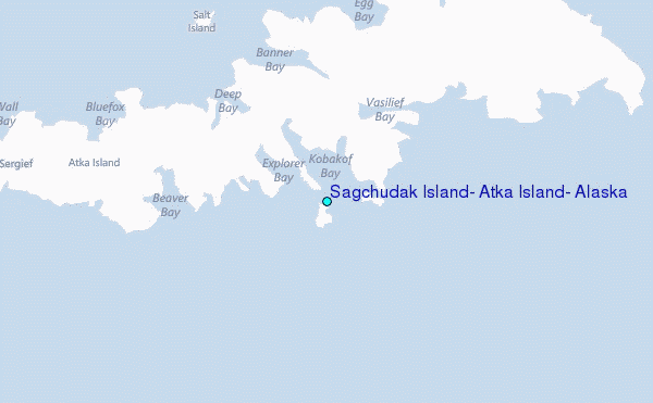
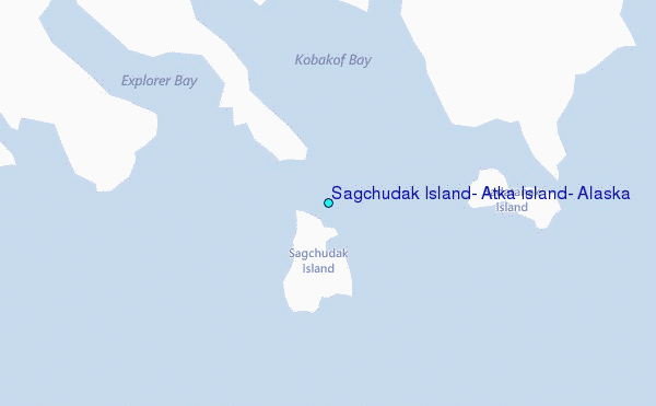
Choose Sagchudak Island, Atka Island, Alaska Location Map Zoom:
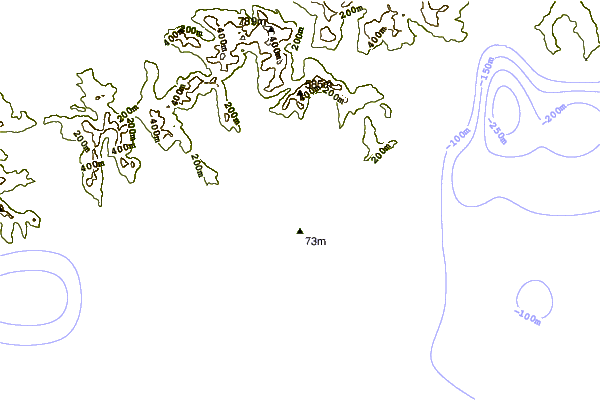
| Contours: | Roads & Rivers: | Select a
tide station / surf break / city |

Use this relief map to navigate to tide stations, surf breaks and cities that are in the area of Sagchudak Island, Atka Island, Alaska.
Other Nearby Locations' tide tables and tide charts to Sagchudak Island, Atka Island, Alaska:
click location name for more details
 Surf breaks close to Sagchudak Island, Atka Island, Alaska:
|
||
|---|---|---|
| Closest surf break | Fossil Beach Kodiak | 953 mi |
| Second closest surf break | Monashka Bay | 958 mi |
| Third closest surf break | Termination Point | 959 mi |
| Fourth closest surf break | Mill Bay | 960 mi |
| Fifth closest surf break | Bird Point (Tidal Bore) | 1060 mi |


 Nearest
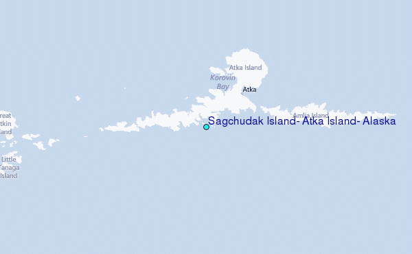