
| Distance / Altitude | Location | Report Date / Time | Live Weather | Wind | Gusts | Temp. | Visibility | Cloud |
|---|---|---|---|---|---|---|---|---|
| 19 km SSE / 6 m | False Pass Airport (Alaska) | 2024-04-24 09:56 local (2024/04/24 17:56 GMT) | Light rain | moderate winds from the S (22 km/h at 180) | 4°C | 16 | broken broken overcast | |
| 54 km ENE / 161 m | Cold Bay Airport (Alaska) | 2024-04-24 09:53 local (2024/04/24 17:53 GMT) | Clear | moderate winds from the SSE (28 km/h at 160) | 4°C | 16 | ||
| 54 km ENE / 32 m | ColdBay-AK (United States) | 2024-04-24 10:00 local (2024/04/24 18:00 GMT) | - | moderate winds from the SSE (28 km/h at 160) | 4°C | 36 km | clear | |
| 75 km E / 3 m | BUOY-KGCA2 (Marine) | 2024-04-24 10:48 local (2024/04/24 18:48 GMT) | moderate winds from the S (21 km/h at 180) | 4°C | - | |||
| 75 km E / 3 m | BUOY-KCXA2 (Marine) | 2024-04-24 10:55 local (2024/04/24 18:55 GMT) | light winds from the SSW (18 km/h at 200) | 4°C | - |
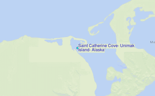
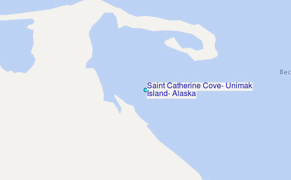
Choose Saint Catherine Cove, Unimak Island, Alaska Location Map Zoom:
| Contours: | Roads & Rivers: | Select a
tide station / surf break / city |
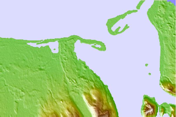
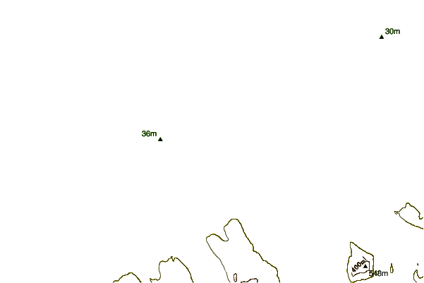
Use this relief map to navigate to tide stations, surf breaks and cities that are in the area of Saint Catherine Cove, Unimak Island, Alaska.
Other Nearby Locations' tide tables and tide charts to Saint Catherine Cove, Unimak Island, Alaska:
click location name for more details
 Surf breaks close to Saint Catherine Cove, Unimak Island, Alaska:
|
||
|---|---|---|
| Closest surf break | Fossil Beach Kodiak | 459 mi |
| Second closest surf break | Monashka Bay | 465 mi |
| Third closest surf break | Termination Point | 467 mi |
| Fourth closest surf break | Mill Bay | 467 mi |
| Fifth closest surf break | Bird Point (Tidal Bore) | 593 mi |

 Nearest
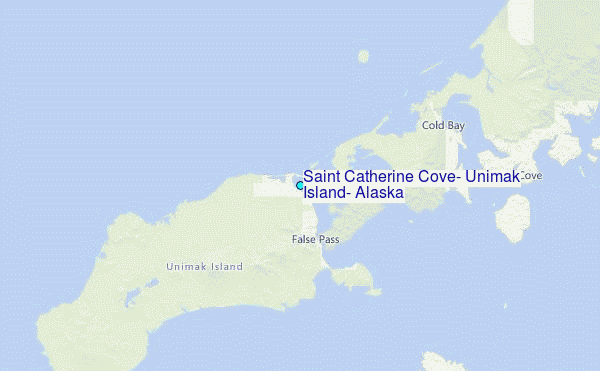