
| Distance / Altitude | Location | Report Date / Time | Live Weather | Wind | Gusts | Temp. | Visibility | Cloud |
|---|---|---|---|---|---|---|---|---|
| 6 km ENE / 3 m | BUOY-DELD1 (Marine) | 2026-04-29 09:00 local (2026/04/29 13:00 GMT) | light winds from the S (9 km/h at 180) | 14°C | - | |||
| 13 km NNE / 216 m | Wilmington Airport (Delaware) | 2026-04-29 07:51 local (2026/04/29 11:51 GMT) | Dry and cloudy | light winds from the SSE (6 km/h at 160) | 13°C | 16 | overcast | |
| 14 km SW / 3 m | BUOY-CHCM2 (Marine) | 2026-04-29 09:00 local (2026/04/29 13:00 GMT) | calm (2 km/h at 140) | 13°C | - | |||
| 14 km WNW / 24 m | Newark (Delaware) | 2026-04-29 09:06 local (2026/04/29 13:06 GMT) | dry | calm (3 km/h at 194) | 14°C | - | - - 0 | |
| 21 km SE / 15 m | SHIP2761 (Marine) | 2026-04-29 08:00 local (2026/04/29 12:00 GMT) | - (- km/h at -) | — | - km | |||
| 21 km SE / 3 m | SHIP6009 (Marine) | 2026-04-29 08:00 local (2026/04/29 12:00 GMT) | - (- km/h at -) | 14°C | - | |||
| 21 km SE / 3 m | SHIP1712 (Marine) | 2026-04-29 08:00 local (2026/04/29 12:00 GMT) | - (- km/h at -) | 14°C | - | |||
| 21 km SE / 15 m | SHIP6704 (Marine) | 2026-04-29 08:00 local (2026/04/29 12:00 GMT) | - (- km/h at -) | — | - km | |||
| 25 km N / 88 m | Greenville (Delaware) | 2026-04-29 08:24 local (2026/04/29 12:24 GMT) | dry | calm (3 km/h at 210) | 12°C | - | - - 0 | |
| 27 km N / 103 m | Larchmont wx (United States) | 2026-04-29 08:41 local (2026/04/29 12:41 GMT) | - | calm (0 km/h at 230) | 12°C | - | - - 0 |
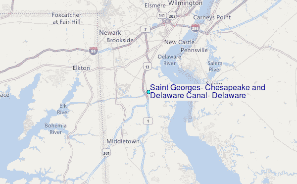
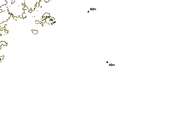
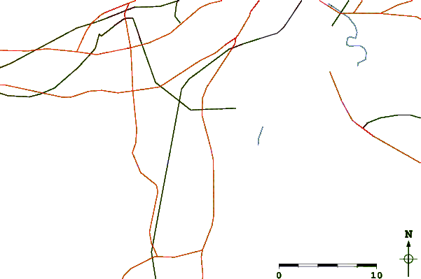
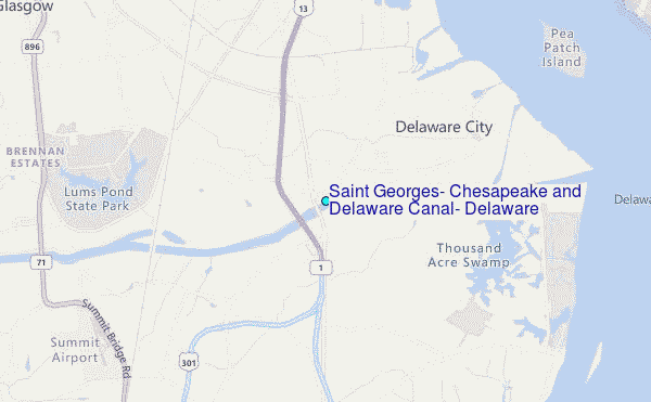
Choose Saint Georges, Chesapeake and Delaware Canal, Delaware Location Map Zoom:
| Contours: | Roads & Rivers: | Select a
tide station / surf break / city |
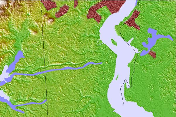
Use this relief map to navigate to tide stations, surf breaks and cities that are in the area of Saint Georges, Chesapeake and Delaware Canal, Delaware.
Other Nearby Locations' tide tables and tide charts to Saint Georges, Chesapeake and Delaware Canal, Delaware:
click location name for more details
 Surf breaks close to Saint Georges, Chesapeake and Delaware Canal, Delaware:
|
||
|---|---|---|
| Closest surf break | Broadway | 58 mi |
| Second closest surf break | The Cove Cape May | 58 mi |
| Third closest surf break | Chodes | 58 mi |
| Fourth closest surf break | 52nd Street | 58 mi |
| Fifth closest surf break | 47th Street | 58 mi |


 Nearest
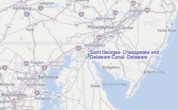