
| Distance / Altitude | Location | Report Date / Time | Live Weather | Wind | Gusts | Temp. | Visibility | Cloud |
|---|---|---|---|---|---|---|---|---|
| 12 km S / 219 m | Scappoose Airport (Oregon) | 2026-05-21 07:53 local (2026/05/21 14:53 GMT) | Clear | light winds from the N (15 km/h at 10) | 14°C | 16 | ||
| 13 km NW / 3 m | BUOY-KLMW1 (Marine) | 2026-05-21 08:30 local (2026/05/21 15:30 GMT) | - (- km/h at -) | — | - | |||
| 29 km NW / 220 m | Kelso Longveiw Airport (Washington) | 2026-05-21 07:56 local (2026/05/21 14:56 GMT) | - | light winds from the NW (6 km/h at 310) | 12°C | 16 | few | |
| 30 km SSE / 218 m | Vancouver Airport (Washington) | 2026-05-21 07:53 local (2026/05/21 14:53 GMT) | Clear | calm (0 km/h at 0) | 13°C | 16 | ||
| 30 km NW / 3 m | BUOY-LOPW1 (Marine) | 2026-05-21 08:30 local (2026/05/21 15:30 GMT) | - (- km/h at -) | — | - | |||
| 35 km SSE / 218 m | Portland Airport (Oregon) | 2026-05-21 07:53 local (2026/05/21 14:53 GMT) | - | light winds from the NW (6 km/h at 310) | 13°C | 16 | few few | |
| 37 km S / 218 m | Hillsboro/Portland Airport (Oregon) | 2026-05-21 07:53 local (2026/05/21 14:53 GMT) | Clear | calm (0 km/h at 0) | 14°C | 16 | ||
| 46 km SE / 218 m | Troutdale Airport (Oregon) | 2026-05-21 07:53 local (2026/05/21 14:53 GMT) | Clear | calm (0 km/h at 0) | 12°C | 16 | ||
| 55 km S / 70 m | Tualatin (Oregon) | 2026-05-21 07:49 local (2026/05/21 14:49 GMT) | dry | calm (2 km/h at 339) | 11°C | - | - - 0 | |
| 60 km S / 177 m | Springbrook wx (United States) | 2026-05-21 08:06 local (2026/05/21 15:06 GMT) | - | calm (0 km/h at 357) | — | - | - - 0 |
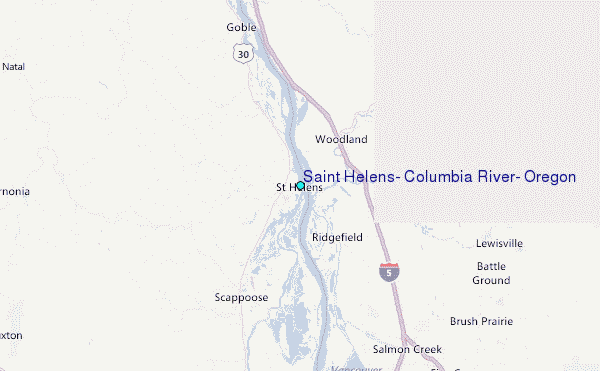
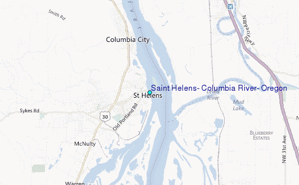
Choose Saint Helens, Columbia River, Oregon Location Map Zoom:
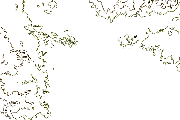
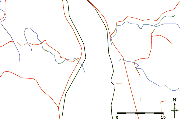
| Contours: | Roads & Rivers: | Select a
tide station / surf break / city |
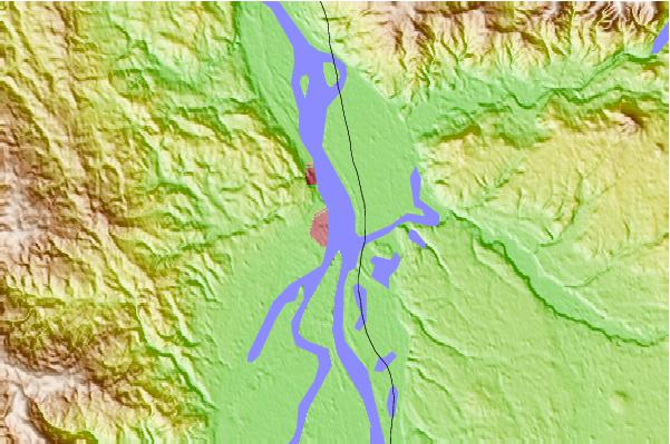
Use this relief map to navigate to tide stations, surf breaks and cities that are in the area of Saint Helens, Columbia River, Oregon.
Other Nearby Locations' tide tables and tide charts to Saint Helens, Columbia River, Oregon:
click location name for more details
 Surf breaks close to Saint Helens, Columbia River, Oregon:
|
||
|---|---|---|
| Closest surf break | Seaside Cove | 55 mi |
| Second closest surf break | Arcadia | 56 mi |
| Third closest surf break | Manzanita | 56 mi |
| Fourth closest surf break | Cannon Beach/Tolovana Beach | 57 mi |
| Fifth closest surf break | Neakahine Point | 57 mi |


 Nearest
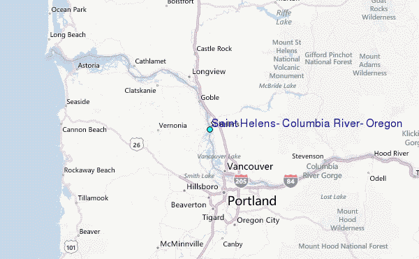