
| Distance / Altitude | Location | Report Date / Time | Live Weather | Wind | Gusts | Temp. | Visibility | Cloud |
|---|---|---|---|---|---|---|---|---|
| 1 km SSE / 3 m | BUOY-JXUF1 (Marine) | 2026-05-26 11:30 local (2026/05/26 15:30 GMT) | - (- km/h at -) | — | - | |||
| 2 km NNE / 10 m | Jacksonville (Florida) | 2026-05-26 12:18 local (2026/05/26 16:18 GMT) | dry | calm (3 km/h at 105) | 31°C | - | - - 0 | |
| 5 km NW / 3 m | BUOY-NFDF1 (Marine) | 2026-05-26 11:48 local (2026/05/26 15:48 GMT) | light winds from the S (13 km/h at 180) | — | 10.9 | |||
| 6 km WNW / 4 m | Lake Forest Manor wx (United States) | 2026-05-26 11:37 local (2026/05/26 15:37 GMT) | dry | wind obs. (11 kph from 203 degs) was rejected (- km/h at -) | 30°C | - | - - 0 | |
| 6 km NE / 3 m | BUOY-DMSF1 (Marine) | 2026-05-26 11:30 local (2026/05/26 15:30 GMT) | - (- km/h at -) | — | - | |||
| 6 km S / 3 m | SHIP3946 (Marine) | 2026-05-26 10:00 local (2026/05/26 14:00 GMT) | - (- km/h at -) | 28°C | - | |||
| 6 km S / 3 m | SHIP3261 (Marine) | 2026-05-26 10:00 local (2026/05/26 14:00 GMT) | - (- km/h at -) | 28°C | - | |||
| 6 km WNW / 4 m | Lake Forest Manor wx (United States) | 2026-05-26 11:37 local (2026/05/26 15:37 GMT) | dry | wind obs. (11 kph from 203 degs) was rejected (- km/h at -) | 30°C | - | - - 0 | |
| 6 km S / 3 m | SHIP11042 (Marine) | 2026-05-26 10:00 local (2026/05/26 14:00 GMT) | - (- km/h at -) | 28°C | - | |||
| 6 km S / 15 m | SHIP5742 (Marine) | 2026-05-26 11:00 local (2026/05/26 15:00 GMT) | - (- km/h at -) | — | - km |
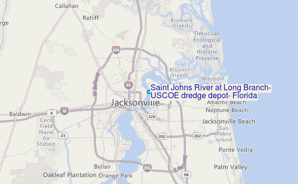
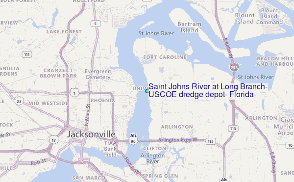
Choose Saint Johns River at Long Branch, USCOE dredge depot, Florida Location Map Zoom:
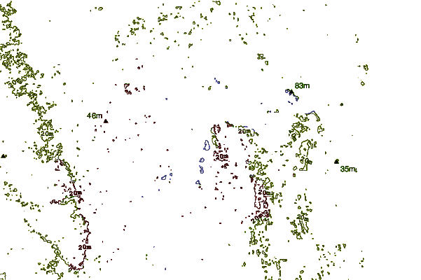
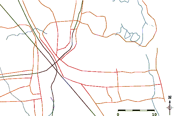
| Contours: | Roads & Rivers: | Select a
tide station / surf break / city |
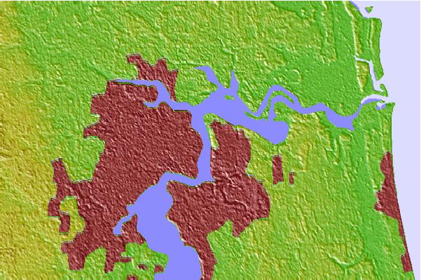
Use this relief map to navigate to tide stations, surf breaks and cities that are in the area of Saint Johns River at Long Branch, USCOE dredge depot, Florida.
Other Nearby Locations' tide tables and tide charts to Saint Johns River at Long Branch, USCOE dredge depot, Florida:
click location name for more details
 Surf breaks close to Saint Johns River at Long Branch, USCOE dredge depot, Florida:
|
||
|---|---|---|
| Closest surf break | Hanna Park/Mayport Poles | 13 mi |
| Second closest surf break | North Jetty | 13 mi |
| Third closest surf break | The Barge | 13 mi |
| Fourth closest surf break | The Mayport Poles | 13 mi |
| Fifth closest surf break | Jax Beach Pier | 14 mi |


 Nearest
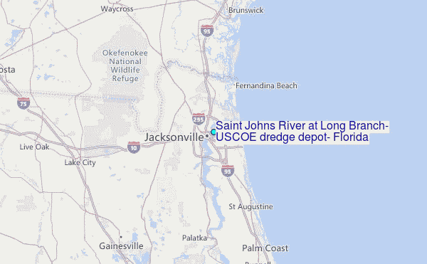