
| Distance / Altitude | Location | Report Date / Time | Live Weather | Wind | Gusts | Temp. | Visibility | Cloud |
|---|---|---|---|---|---|---|---|---|
| 181 km ENE / 64 m | Mao (Dominican Republic) | 2026-07-18 23:43 local (2026/07/19 03:43 GMT) | dry | light winds from the SSE (6 km/h at 151) | 27°C | - | - - 0 | |
| 214 km E / 1420 m | El Gajo de la Paila wx (Dominican Republic) | 2026-07-19 00:26 local (2026/07/19 04:26 GMT) | dry | calm (5 km/h at 185) | 15°C | - | - - 0 | |
| 214 km E / 209 m | Santiago International Airport (Dominican Republic) | 2026-07-18 23:00 local (2026/07/19 03:00 GMT) | - | light winds from the ESE.(Wind varies from 080 to 140 degs) (15 km/h at 120) | 26°C | 10.0 | few | |
| 235 km ENE / 466 m | Puerto Plata IN Airport (Dominican Republic) | 2026-07-18 23:00 local (2026/07/19 03:00 GMT) | - | calm (0 km/h at 0) | 25°C | 10.0 | few | |
| 276 km N / 15 m | SHIP5534 (Marine) | 2026-07-18 22:00 local (2026/07/19 02:00 GMT) | - (- km/h at -) | — | - km | |||
| 275 km N / 3 m | SHIP4502 (Marine) | 2026-07-18 22:00 local (2026/07/19 02:00 GMT) | - (- km/h at -) | 28°C | - | |||
| 275 km N / 3 m | SHIP306 (Marine) | 2026-07-18 22:00 local (2026/07/19 02:00 GMT) | - (- km/h at -) | 28°C | - | |||
| 275 km N / 15 m | SHIP7819 (Marine) | 2026-07-18 22:00 local (2026/07/19 02:00 GMT) | - (- km/h at -) | — | - km | |||
| 275 km N / 15 m | SHIP4290 (Marine) | 2026-07-18 22:00 local (2026/07/19 02:00 GMT) | - (- km/h at -) | — | - km | |||
| 275 km N / 3 m | SHIP2300 (Marine) | 2026-07-18 22:00 local (2026/07/19 02:00 GMT) | - (- km/h at -) | 28°C | - |
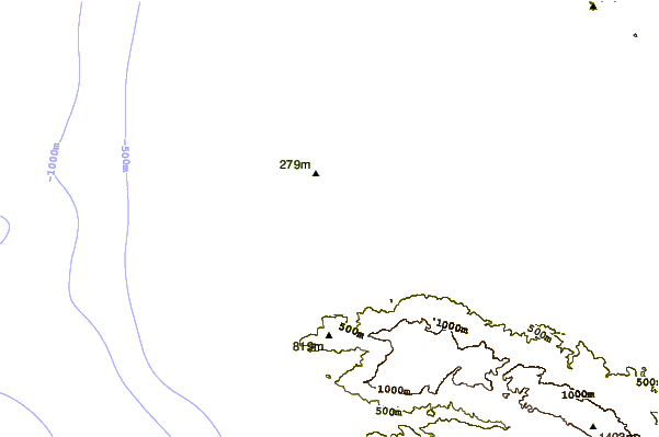
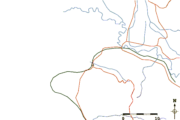
| Contours: | Roads & Rivers: | Select a
tide station / surf break / city |
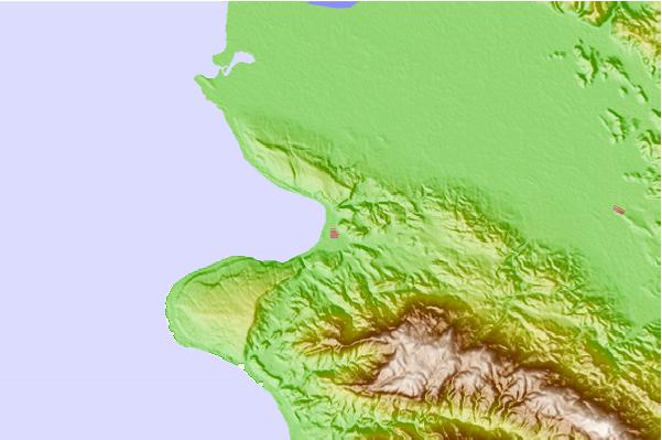
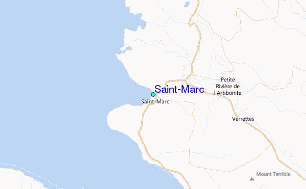
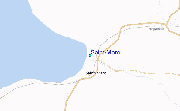
Use this relief map to navigate to tide stations, surf breaks and cities that are in the area of Saint-Marc.
Other Nearby Locations' tide tables and tide charts to Saint-Marc:
click location name for more details
 Surf breaks close to Saint-Marc:
|
||
|---|---|---|
| Closest surf break | Jacmel | 63 mi |
| Second closest surf break | Bahia de las Aguilas | 111 mi |
| Third closest surf break | Baorvco | 127 mi |
| Fourth closest surf break | Barranca | 127 mi |
| Fifth closest surf break | La Cienega | 128 mi |


 Nearest
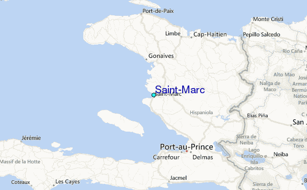