
| Distance / Altitude | Location | Report Date / Time | Live Weather | Wind | Gusts | Temp. | Visibility | Cloud |
|---|---|---|---|---|---|---|---|---|
| 9 km S / 7 m | KO Lanta (Thailand) | 2024-04-26 19:00 local (2024/04/26 12:00 GMT) | no report | calm (0 km/h at 0) | 31°C | 10 | - scattered - | |
| 51 km NW / 118 m | Krabi Airport (Thailand) | 2024-04-26 19:00 local (2024/04/26 12:00 GMT) | no report | light winds from the SSW (9 km/h at 210) | 31°C | 10.0 | few - - | |
| 64 km E / 1 m | Trang (Thailand) | 2024-04-26 19:00 local (2024/04/26 12:00 GMT) | no report | light winds from the SE (9 km/h at 130) | 30°C | 10.0 | few - - | |
| 76 km W / 3 m | Phuket (Thailand) | 2024-04-26 19:00 local (2024/04/26 12:00 GMT) | no report | light winds from the W (6 km/h at 260) | 33°C | 10 | - | |
| 77 km W / 2 m | Ban Tha Khreng wx (Thailand) | 2024-04-26 19:41 local (2024/04/26 12:41 GMT) | - | calm (0 km/h at 0) | 32°C | - | - - 0 |
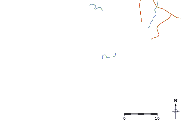
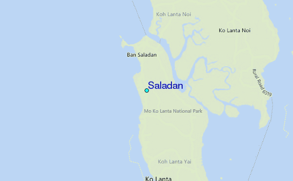
| Contours: | Roads & Rivers: | Select a
tide station / surf break / city |

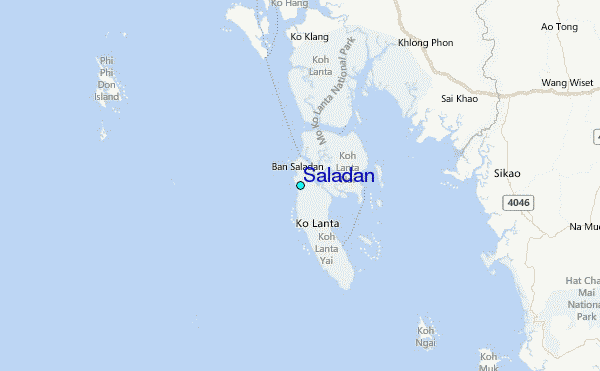
Use this relief map to navigate to tide stations, surf breaks and cities that are in the area of Saladan.
Other Nearby Locations' tide tables and tide charts to Saladan:
click location name for more details
 Surf breaks close to Saladan:
|
||
|---|---|---|
| Closest surf break | Koh Lanta - Khlong Dao | 1 mi |
| Second closest surf break | Nai Harn Beach | 52 mi |
| Third closest surf break | Kata Noi | 52 mi |
| Fourth closest surf break | Kata Beach | 53 mi |
| Fifth closest surf break | Karon Beach | 53 mi |

 Nearest
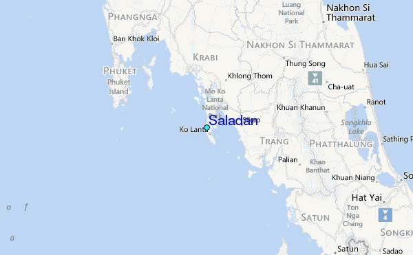