
| Distance / Altitude | Location | Report Date / Time | Live Weather | Wind | Gusts | Temp. | Visibility | Cloud |
|---|---|---|---|---|---|---|---|---|
| 3 km W / 20 m | Peabody (Massachusetts) | 2026-05-27 12:30 local (2026/05/27 16:30 GMT) | dry | calm (0 km/h at 241) | 30°C | - | - - 0 | |
| 7 km NW / 218 m | Beverly Airport (Massachusetts) | 2026-05-27 10:53 local (2026/05/27 14:53 GMT) | Clear | light winds from the W.(Wind varies from 240 to 310 degs) (13 km/h at 280) | 26°C | 16 | ||
| 7 km S / 25 m | Swampscott (Massachusetts) | 2026-05-27 12:49 local (2026/05/27 16:49 GMT) | dry | wind obs. (6 kph from 242 degs) was rejected (- km/h at -) | 29°C | - | - - 0 | |
| 9 km W / 26 m | West Peabody wx (United States) | 2026-05-27 11:47 local (2026/05/27 15:47 GMT) | dry | light winds from the WSW (11 km/h at 256) | 28°C | - | - - 0 | |
| 10 km SSW / 12 m | Raddin Station wx (United States) | 2026-05-27 12:00 local (2026/05/27 16:00 GMT) | dry | light winds from the SW (10 km/h at 217) | 30°C | - | - - 0 | |
| 12 km SW / 34 m | Merrimac Terrace wx (United States) | 2026-05-27 12:22 local (2026/05/27 16:22 GMT) | dry | calm (2 km/h at 200) | 29°C | - | - - 0 | |
| 16 km WNW / 25 m | Middleton wx (United States) | 2026-05-27 12:38 local (2026/05/27 16:38 GMT) | dry | calm (3 km/h at 65) | 30°C | - | - - 0 | |
| 17 km SW / 16 m | Malden (Massachusetts) | 2026-05-27 12:13 local (2026/05/27 16:13 GMT) | - | calm (2 km/h at 233) | 29°C | - | - - 0 | |
| 18 km SSW / 122 m | Chelsea (Massachusetts) | 2026-05-27 12:35 local (2026/05/27 16:35 GMT) | dry | calm (0 km/h at 245) | 30°C | - | - - 0 | |
| 18 km WSW / 25 m | Reading (Massachusetts) | 2026-05-27 11:47 local (2026/05/27 15:47 GMT) | dry | calm (3 km/h at 220) | 30°C | - | - - 0 |
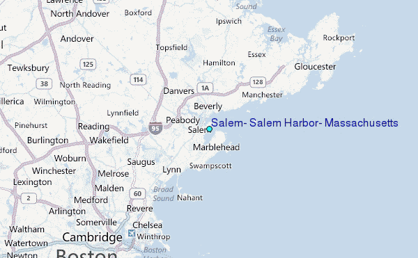
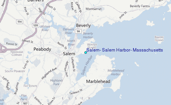
Choose Salem, Salem Harbor, Massachusetts Location Map Zoom:
| Contours: | Roads & Rivers: | Select a
tide station / surf break / city |
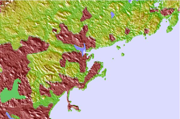
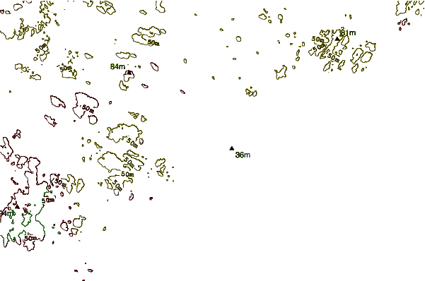
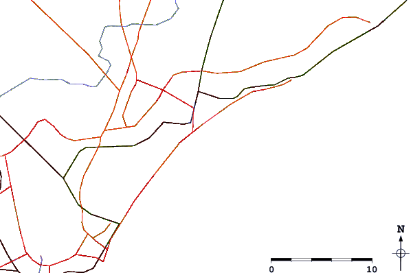
Use this relief map to navigate to tide stations, surf breaks and cities that are in the area of Salem, Salem Harbor, Massachusetts.
Other Nearby Locations' tide tables and tide charts to Salem, Salem Harbor, Massachusetts:
click location name for more details
 Surf breaks close to Salem, Salem Harbor, Massachusetts:
|
||
|---|---|---|
| Closest surf break | Prestons | 2 mi |
| Second closest surf break | Deveraux Beach | 4 mi |
| Third closest surf break | Lynne Beach | 4 mi |
| Fourth closest surf break | Nahant Beach | 7 mi |
| Fifth closest surf break | Brace Cove | 12 mi |


 Nearest