
| Distance / Altitude | Location | Report Date / Time | Live Weather | Wind | Gusts | Temp. | Visibility | Cloud |
|---|---|---|---|---|---|---|---|---|
| 8 km ESE / 3 m | BUOY-JOXP4 (Marine) | 2026-03-19 20:45 local (2026/03/20 00:45 GMT) | calm (4 km/h at 350) | 24°C | - | |||
| 18 km E / 154 m | Guayama (Puerto Rico) | 2026-03-19 21:35 local (2026/03/20 01:35 GMT) | dry | calm (5 km/h at 71) | 24°C | - | - - 0 | |
| 28 km NE / 400 m | Vegas wx (Puerto Rico) | 2026-03-19 21:16 local (2026/03/20 01:16 GMT) | dry | calm (0 km/h at 225) | 19°C | - | - - 0 | |
| 28 km SW / 3 m | Southeast of Ponce Buoy- PR (Marine) | 2026-03-19 21:00 local (2026/03/20 01:00 GMT) | moderate winds from the E (22 km/h at 100) | 27°C | - | |||
| 29 km WSW / 443 m | Ponce/Mercedita Airport (Puerto Rico) | 2026-03-19 20:35 local (2026/03/20 00:35 GMT) | Clear | light winds from the ENE (6 km/h at 70) | 24°C | 16 | ||
| 33 km WSW / 1 m | Muelle de Ponce wx (Puerto Rico) | 2026-03-19 21:33 local (2026/03/20 01:33 GMT) | dry | light winds from the NE (8 km/h at 55) | 24°C | - | - - 0 | |
| 34 km WSW / 13 m | Ponce (Puerto Rico) | 2026-03-19 19:36 local (2026/03/19 23:36 GMT) | dry | - (- km/h at ) | — | - | - - 0 | |
| 38 km NE / 83 m | Caguas (Puerto Rico) | 2026-03-19 21:04 local (2026/03/20 01:04 GMT) | dry | calm (0 km/h at 220) | 23°C | - | - - 0 | |
| 39 km NE / 196 m | Caguas (Puerto Rico) | 2026-03-19 21:04 local (2026/03/20 01:04 GMT) | dry | calm (0 km/h at 281) | 22°C | - | - - 0 | |
| 39 km NE / 175 m | Villa Blanca wx (Puerto Rico) | 2026-03-19 21:03 local (2026/03/20 01:03 GMT) | dry | calm (0 km/h at 8) | 22°C | - | - - 0 |
| Contours: | Roads & Rivers: | Select a
tide station / surf break / city |
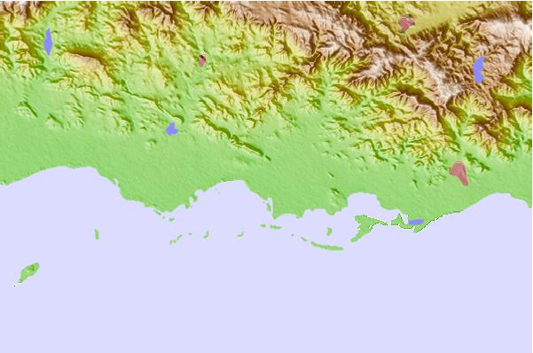
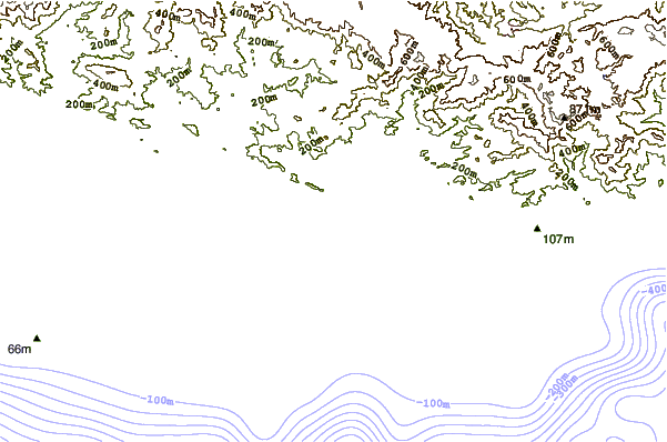
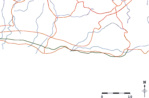
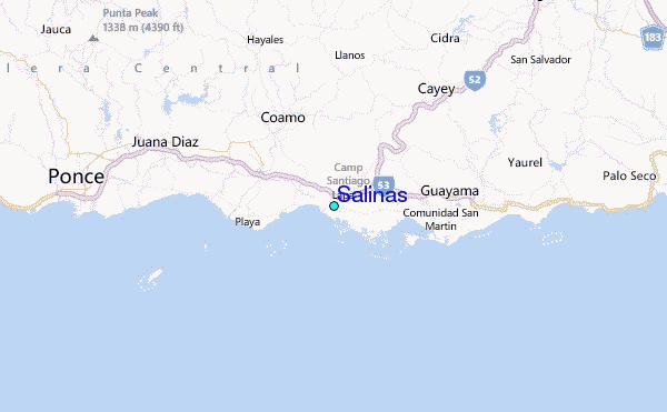
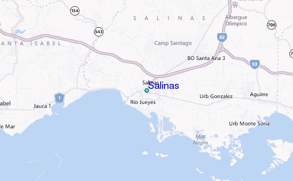
Use this relief map to navigate to tide stations, surf breaks and cities that are in the area of Salinas.
Other Nearby Locations' tide tables and tide charts to Salinas:
click location name for more details
 Surf breaks close to Salinas:
|
||
|---|---|---|
| Closest surf break | Pozuelo | 7 mi |
| Second closest surf break | Inches | 22 mi |
| Third closest surf break | Los Bohios | 27 mi |
| Fourth closest surf break | Sharky (Playa Mario) | 29 mi |
| Fifth closest surf break | Playa El Cocal | 30 mi |


 Nearest
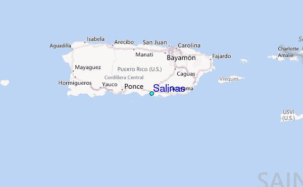