
| Distance / Altitude | Location | Report Date / Time | Live Weather | Wind | Gusts | Temp. | Visibility | Cloud |
|---|---|---|---|---|---|---|---|---|
| 49 km WNW / 23 m | Gurney (Papua New Guinea) | 2026-02-24 10:00 local (2026/02/24 00:00 GMT) | distant precipitation but not falling at station | - (- km/h at -) | 26°C | 30 | - - - | |
| 91 km S / 15 m | ASCATB151E11S (Marine) | 2026-02-24 09:12 local (2026/02/23 23:12 GMT) | moderate winds from the WNW (27 km/h at 288) | — | - km | |||
| 98 km S / 15 m | ASCATC151E11S (Marine) | 2026-02-24 09:48 local (2026/02/23 23:48 GMT) | moderate winds from the WNW (27 km/h at 295) | — | - km | |||
| 132 km SE / 15 m | ASCATB152E11S (Marine) | 2026-02-24 09:12 local (2026/02/23 23:12 GMT) | light winds from the WNW (19 km/h at 292) | — | - km | |||
| 135 km ENE / 15 m | ASCATC152E10S (Marine) | 2026-02-24 09:48 local (2026/02/23 23:48 GMT) | light winds from the WSW (7 km/h at 242) | — | - km | |||
| 136 km SE / 15 m | ASCATC152E11S (Marine) | 2026-02-24 09:48 local (2026/02/23 23:48 GMT) | moderate winds from the WNW (20 km/h at 290) | — | - km | |||
| 137 km NE / 15 m | ASCATB151E10S (Marine) | 2026-02-24 09:12 local (2026/02/23 23:12 GMT) | calm (5 km/h at 266) | — | - km | |||
| 141 km NE / 15 m | ASCATC151E10S (Marine) | 2026-02-24 09:47 local (2026/02/23 23:47 GMT) | light winds from the NNW (6 km/h at 329) | — | - km | |||
| 145 km NE / 15 m | SHIP3051 (Marine) | 2026-02-24 10:00 local (2026/02/24 00:00 GMT) | calm (5.4 km/h at 80) | 32°C | 17.7 km | |||
| 145 km NE / 15 m | SHIP6246 (Marine) | 2026-02-24 10:00 local (2026/02/24 00:00 GMT) | calm (5.4 km/h at 80) | 32°C | 17.7 km |
| Contours: | Roads & Rivers: | Select a
tide station / surf break / city |
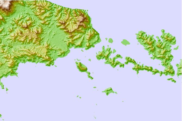
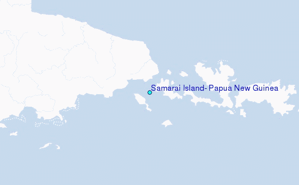
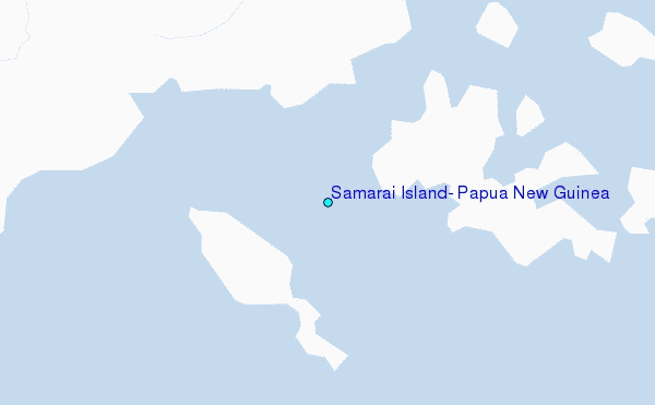
Use this relief map to navigate to tide stations, surf breaks and cities that are in the area of Samarai Island, Papua New Guinea.
Other Nearby Locations' tide tables and tide charts to Samarai Island, Papua New Guinea:
click location name for more details
 Surf breaks close to Samarai Island, Papua New Guinea:
|
||
|---|---|---|
| Closest surf break | Raiven | 445 mi |
| Second closest surf break | Pailongge | 452 mi |
| Third closest surf break | Titiana | 454 mi |
| Fourth closest surf break | Duke of York | 458 mi |
| Fifth closest surf break | Makuti | 461 mi |


 Nearest
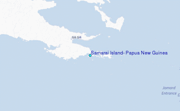