
| Distance / Altitude | Location | Report Date / Time | Live Weather | Wind | Gusts | Temp. | Visibility | Cloud |
|---|---|---|---|---|---|---|---|---|
| 7 km W / 3 m | BUOY-46285 (Marine) | 2026-06-03 03:56 local (2026/06/03 10:56 GMT) | - (- km/h at -) | — | - | |||
| 9 km S / 3 m | BUOY-46277 (Marine) | 2026-06-03 04:00 local (2026/06/03 11:00 GMT) | - (- km/h at -) | 17°C | - | |||
| 18 km SE / 3 m | BUOY-46275 (Marine) | 2026-06-03 04:30 local (2026/06/03 11:30 GMT) | - (- km/h at -) | 17°C | - | |||
| 30 km SSE / 3 m | Oceanside Offshore- CA (Marine) | 2026-06-03 04:26 local (2026/06/03 11:26 GMT) | - (- km/h at -) | — | - | |||
| 30 km N / 309 m | Coeur d Alene (Idaho) | 2026-06-03 04:37 local (2026/06/03 11:37 GMT) | dry | calm (0 km/h at 46) | 7°C | - | - - 0 | |
| 30 km ESE / 617 m | Camp Pendleton Airport (California) | 2026-06-03 02:52 local (2026/06/03 09:52 GMT) | Dry and cloudy | calm (0 km/h at 0) | 17°C | 11 | overcast | |
| 33 km SE / 204 m | Oceanside Airport (California) | 2026-06-03 02:52 local (2026/06/03 09:52 GMT) | Dry and cloudy | calm (0 km/h at 0) | 18°C | 13 | overcast | |
| 33 km NE / 850 m | Edwards (United States) | 2026-06-03 04:00 local (2026/06/03 11:00 GMT) | - | light winds from the N (15 km/h at 354) | 14°C | - | - - 0 | |
| 33 km NE / 885 m | TheE (United States) | 2026-06-03 04:00 local (2026/06/03 11:00 GMT) | - | wind obs. (7 kph from 155 degs) was rejected (- km/h at -) | 14°C | - | - - 0 | |
| 35 km ESE / 216 m | Fallbrook Airport (California) (California) | 2026-06-03 03:35 local (2026/06/03 10:35 GMT) | Dry and cloudy | calm (0 km/h at 0) | 16°C | 16 | overcast |
| Contours: | Roads & Rivers: | Select a
tide station / surf break / city |
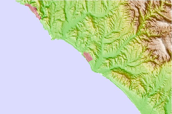
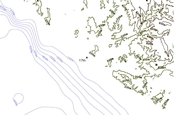
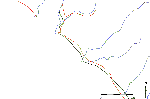
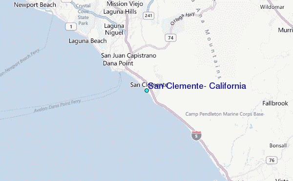
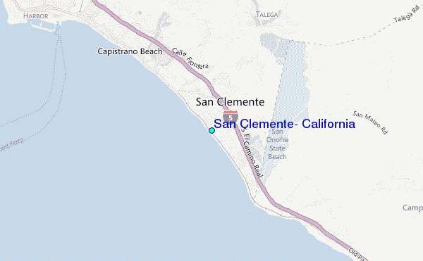
Use this relief map to navigate to tide stations, surf breaks and cities that are in the area of San Clemente, California.
Other Nearby Locations' tide tables and tide charts to San Clemente, California:
click location name for more details
 Surf breaks close to San Clemente, California:
|
||
|---|---|---|
| Closest surf break | Linda Lane Beach | 1 mi |
| Second closest surf break | Riviera | 1 mi |
| Third closest surf break | T Street | 1 mi |
| Fourth closest surf break | San Clemente Pier | 1 mi |
| Fifth closest surf break | San Clemente State Park | 1 mi |


 Nearest
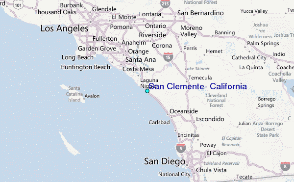