
| Distance / Altitude | Location | Report Date / Time | Live Weather | Wind | Gusts | Temp. | Visibility | Cloud |
|---|---|---|---|---|---|---|---|---|
| 4 km E / 6 m | San Cristóbal Airport (Galapagos) (Ecuador) | 2026-06-22 10:00 local (2026/06/22 16:00 GMT) | Dry and partly cloudy | moderate winds from the SSE (24 km/h at 160) | 28°C | 10.0 | few broken | |
| 79 km W / 16 m | Puerto Ayora (Ecuador) | 2026-06-22 11:10 local (2026/06/22 17:10 GMT) | dry | light winds from the SE (13 km/h at 125) | 27°C | - | - - 0 | |
| 88 km WNW / 16 m | Seymour Ecuador Air Force Base (Ecuador) | 2026-06-22 10:00 local (2026/06/22 16:00 GMT) | Dry and partly cloudy | light winds from the S (19 km/h at 170) | 30°C | 10.0 | few scattered broken | |
| 108 km NW / 15 m | ASCATB270E0S (Marine) | 2026-06-22 09:28 local (2026/06/22 15:28 GMT) | moderate winds from the S (22 km/h at 175) | — | - km | |||
| 126 km NW / 15 m | ASCATB270E0N (Marine) | 2026-06-22 09:28 local (2026/06/22 15:28 GMT) | moderate winds from the S (22 km/h at 175) | — | - km | |||
| 174 km NW / 15 m | ASCATB270E1N (Marine) | 2026-06-22 09:28 local (2026/06/22 15:28 GMT) | moderate winds from the S (23 km/h at 173) | — | - km | |||
| 193 km S / 15 m | ASCATB270E2S (Marine) | 2026-06-22 09:28 local (2026/06/22 15:28 GMT) | moderate winds from the SSE (25 km/h at 151) | — | - km | |||
| 215 km SW / 15 m | ASCATB269E1S (Marine) | 2026-06-22 09:28 local (2026/06/22 15:28 GMT) | moderate winds from the SSE (21 km/h at 155) | — | - km | |||
| 217 km S / 15 m | ASCATB270E3S (Marine) | 2026-06-22 09:28 local (2026/06/22 15:28 GMT) | moderate winds from the SSE (23 km/h at 150) | — | - km | |||
| 250 km WNW / 15 m | ASCATB269E0N (Marine) | 2026-06-22 09:28 local (2026/06/22 15:28 GMT) | moderate winds from the SSE (21 km/h at 161) | — | - km |
| Contours: | Roads & Rivers: | Select a
tide station / surf break / city |
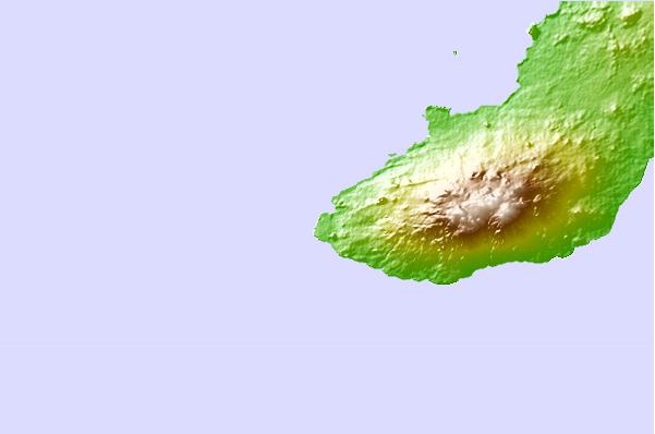
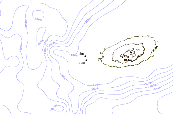
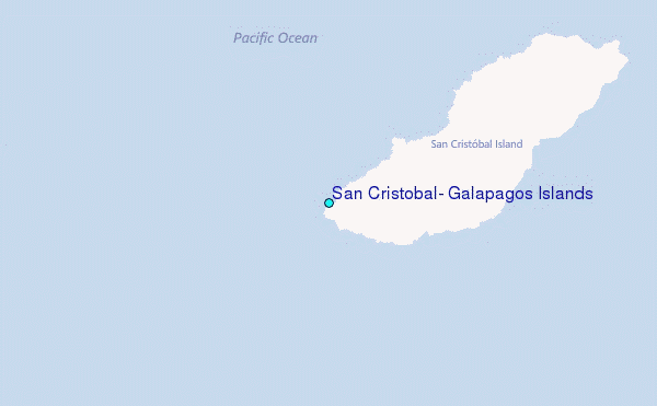
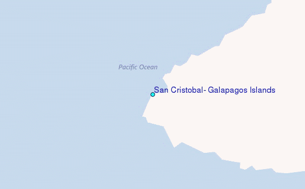
Use this relief map to navigate to tide stations, surf breaks and cities that are in the area of San Cristobal, Galapagos Islands.
Other Nearby Locations' tide tables and tide charts to San Cristobal, Galapagos Islands:
click location name for more details
 Surf breaks close to San Cristobal, Galapagos Islands:
|
||
|---|---|---|
| Closest surf break | Carola | 1 mi |
| Second closest surf break | El Canyon | 1 mi |
| Third closest surf break | Tongo Reef | 1 mi |
| Fourth closest surf break | Loberia | 2 mi |
| Fifth closest surf break | Manglecito | 9 mi |


 Nearest
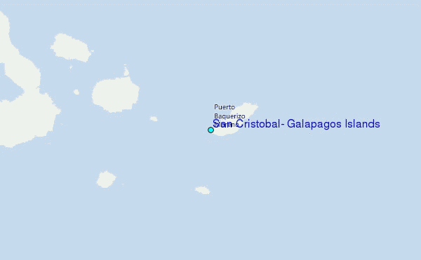