
| Distance / Altitude | Location | Report Date / Time | Live Weather | Wind | Gusts | Temp. | Visibility | Cloud |
|---|---|---|---|---|---|---|---|---|
| 120 km ENE / 61 m | Puerto Penasco- Son. (Mexico) | 2026-03-18 05:00 local (2026/03/18 12:00 GMT) | no report | - (- km/h at -) | 27°C | 20 | - - - | |
| 123 km ENE / 7.6 m | Puerto Penasco (Åland) | 2026-03-18 06:47 local (2026/03/18 13:47 GMT) | dry | calm (2 km/h at 53) | 16°C | - | - - 0 | |
| 156 km NNE / 70 m | Yuma (Arizona) | 2026-03-18 06:28 local (2026/03/18 13:28 GMT) | - | calm (0 km/h at 360) | — | - | - - 0 | |
| 178 km N / 218 m | Yuma Marine Corps Air Station Airport (Arizona) | 2026-03-18 04:57 local (2026/03/18 11:57 GMT) | Clear | calm (0 km/h at 0) | 20°C | 16 | ||
| 182 km NW / 326 m | Mexicali International Airport (Mexico) | 2026-03-18 05:53 local (2026/03/18 12:53 GMT) | - | light winds from the WNW (7 km/h at 290) | — | 16 | ||
| 194 km W / 3 m | SHIP5319 (Marine) | 2026-03-18 06:00 local (2026/03/18 13:00 GMT) | - (- km/h at -) | 16°C | - | |||
| 194 km W / 15 m | SHIP2330 (Marine) | 2026-03-18 06:00 local (2026/03/18 13:00 GMT) | - (- km/h at -) | — | - km | |||
| 203 km W / 15 m | SHIP3665 (Marine) | 2026-03-18 04:00 local (2026/03/18 11:00 GMT) | - (- km/h at -) | — | - km | |||
| 203 km W / 15 m | SHIP2596 (Marine) | 2026-03-18 04:00 local (2026/03/18 11:00 GMT) | - (- km/h at -) | — | - km | |||
| 203 km W / 3 m | SHIP7391 (Marine) | 2026-03-18 04:00 local (2026/03/18 11:00 GMT) | - (- km/h at -) | 16°C | - |
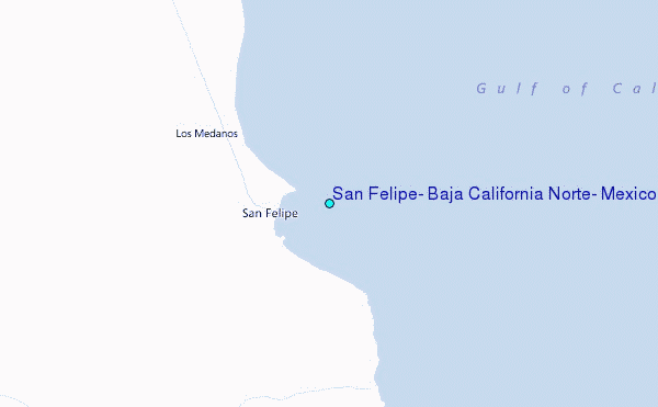
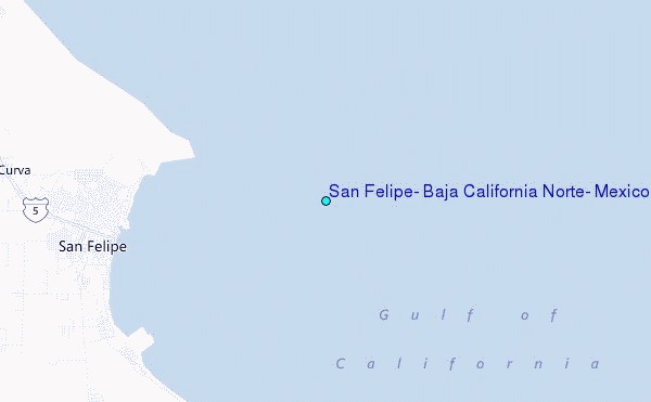
Choose San Felipe, Baja California Norte, Mexico Location Map Zoom:
| Contours: | Roads & Rivers: | Select a
tide station / surf break / city |
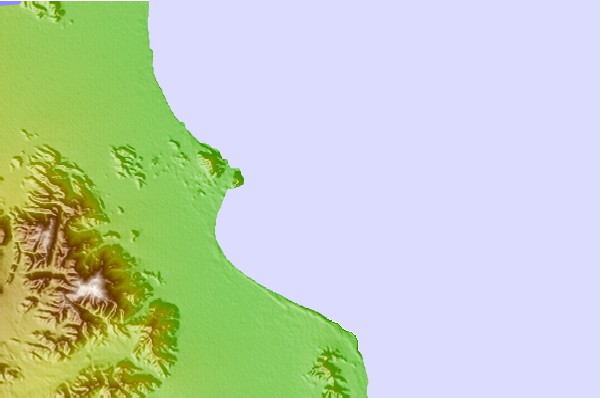
Use this relief map to navigate to tide stations, surf breaks and cities that are in the area of San Felipe, Baja California Norte, Mexico.
Other Nearby Locations' tide tables and tide charts to San Felipe, Baja California Norte, Mexico:
click location name for more details
 Surf breaks close to San Felipe, Baja California Norte, Mexico:
|
||
|---|---|---|
| Closest surf break | Playa San Ramon | 79 mi |
| Second closest surf break | Camalu | 80 mi |
| Third closest surf break | Cielito Lindo | 80 mi |
| Fourth closest surf break | Cabo San Quintin | 81 mi |
| Fifth closest surf break | El Socorro | 81 mi |


 Nearest
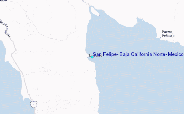