
| Distance / Altitude | Location | Report Date / Time | Live Weather | Wind | Gusts | Temp. | Visibility | Cloud |
|---|---|---|---|---|---|---|---|---|
| 23 km NNE / 30 m | La Isabela International Airport (Dominican republic) | 2026-05-04 08:00 local (2026/05/04 12:00 GMT) | - | calm (0 km/h at 0) | 22°C | 10.0 | few | |
| 29 km ENE / 41 m | Ensanche Savica de Mendoza wx (Dominican Republic) | 2026-05-04 09:32 local (2026/05/04 13:32 GMT) | dry | calm (0 km/h at 349) | 28°C | - | - - 0 | |
| 44 km E / 212 m | Punta Caucedo/Las Americas Airport (Dominican Republic) | 2026-05-04 08:00 local (2026/05/04 12:00 GMT) | - | light winds from the ENE (13 km/h at 60) | 25°C | 10.0 | few | |
| 105 km NNE / 10 m | El Catey International Airport (Dominican republic) | 2026-05-04 08:00 local (2026/05/04 12:00 GMT) | - | calm (0 km/h at 0) | 23°C | 10.0 | few | |
| 109 km WSW / 360 m | Barahona Airport (Dominican Republic) | 2026-05-04 08:00 local (2026/05/04 12:00 GMT) | - | light winds from the SE (11 km/h at 130) | 26°C | 10.0 | few few | |
| 113 km NE / 35 m | Arroyo Barril Airport (Dominican republic) | 2026-05-04 08:00 local (2026/05/04 12:00 GMT) | Dry and partly cloudy | wind obs. (7 kph from 90 degs) was rejected (- km/h at -) | 25°C | 10.0 | broken | |
| 120 km E / 365 m | La Romana International Airport (Dominican Republic) | 2026-05-04 08:00 local (2026/05/04 12:00 GMT) | - | calm (0 km/h at 0) | 25°C | 10.0 | few | |
| 136 km NW / 209 m | Santiago International Airport (Dominican Republic) | 2026-05-04 08:00 local (2026/05/04 12:00 GMT) | - | light winds from the E.(Wind varies from 060 to 140 degs) (7 km/h at 100) | 24°C | 10.0 | few | |
| 160 km NW / 466 m | Puerto Plata IN Airport (Dominican Republic) | 2026-05-04 08:00 local (2026/05/04 12:00 GMT) | - | calm (0 km/h at 0) | 25°C | 10.0 | few | |
| 166 km NW / 3 m | SHIP8092 (Marine) | 2026-05-04 09:00 local (2026/05/04 13:00 GMT) | moderate winds from the ESE (24 km/h at 120) | 29°C | 9.3 |
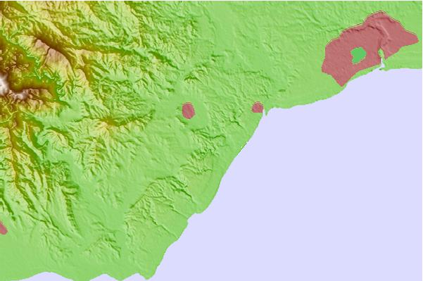
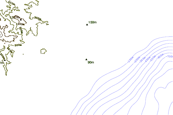
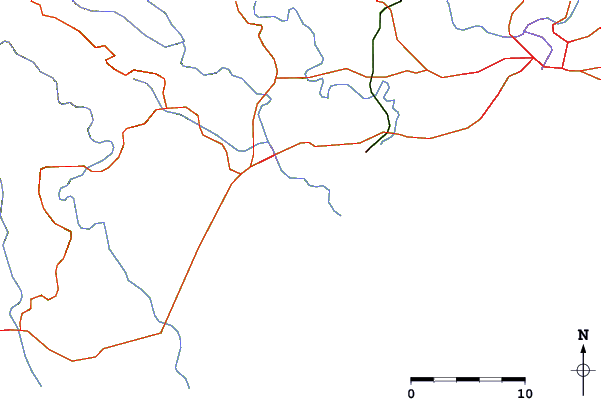
| Contours: | Roads & Rivers: | Select a
tide station / surf break / city |
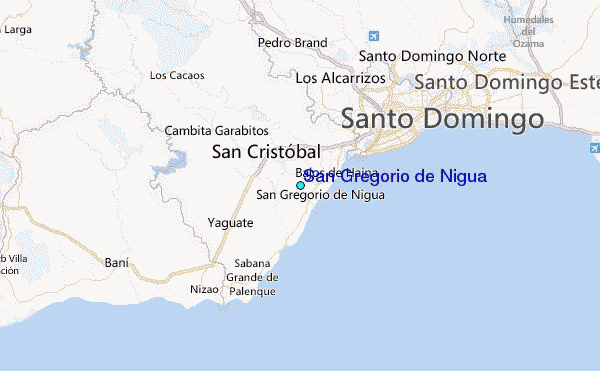
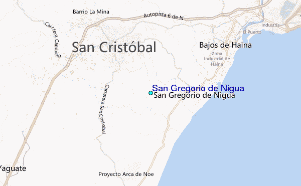
Use this relief map to navigate to tide stations, surf breaks and cities that are in the area of San Gregorio de Nigua.
Other Nearby Locations' tide tables and tide charts to San Gregorio de Nigua:
click location name for more details
 Surf breaks close to San Gregorio de Nigua:
|
||
|---|---|---|
| Closest surf break | Red Beach | 2 mi |
| Second closest surf break | El Chinchorro (Red Beach) | 6 mi |
| Third closest surf break | Najayo | 9 mi |
| Fourth closest surf break | Guibia | 11 mi |
| Fifth closest surf break | Los Patos | 15 mi |


 Nearest
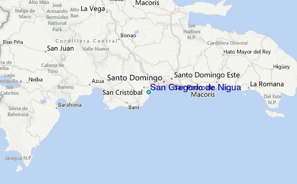