
| Distance / Altitude | Location | Report Date / Time | Live Weather | Wind | Gusts | Temp. | Visibility | Cloud |
|---|---|---|---|---|---|---|---|---|
| 15 km NW / 15 m | SHIP6743 (Marine) | 2026-03-19 07:00 local (2026/03/18 23:00 GMT) | - (- km/h at -) | — | - km | |||
| 25 km S / 35 m | Masbate (Philippines) | 2026-03-19 08:00 local (2026/03/19 00:00 GMT) | state of sky unchanged | wind obs. (7 kph from 110 degs) was rejected (- km/h at -) | 30°C | 20 | - | |
| 26 km S / 210 m | Macatan Airport (Philippines) | 2026-03-19 08:00 local (2026/03/19 00:00 GMT) | intermittent light rain | wind obs. (14 kph from 240 degs) was rejected (- km/h at -) | 28°C | 9 | - - - | |
| 65 km N / 15 m | Legaspi (Philippines) | 2026-03-19 08:00 local (2026/03/19 00:00 GMT) | state of sky unchanged | - (- km/h at -) | 28°C | 18 | - | |
| 125 km NNE / 40 m | Virac (Philippines) | 2026-03-19 08:00 local (2026/03/19 00:00 GMT) | no report | calm (4 km/h at 160) | 28°C | 14 | - - - | |
| 25 km S / 35 m | Masbate (Philippines) | 2026-03-19 08:00 local (2026/03/19 00:00 GMT) | state of sky unchanged | wind obs. (7 kph from 110 degs) was rejected (- km/h at -) | 30°C | 20 | - | |
| 26 km S / 210 m | Macatan Airport (Philippines) | 2026-03-19 08:00 local (2026/03/19 00:00 GMT) | intermittent light rain | wind obs. (14 kph from 240 degs) was rejected (- km/h at -) | 28°C | 9 | - - - | |
| 29 km W / 15 m | SHIP8156 (Marine) | 2026-03-19 08:00 local (2026/03/19 00:00 GMT) | - (- km/h at -) | — | - km | |||
| 29 km W / 3 m | SHIP8366 (Marine) | 2026-03-19 08:00 local (2026/03/19 00:00 GMT) | - (- km/h at -) | 28°C | - | |||
| 29 km W / 3 m | SHIP4948 (Marine) | 2026-03-19 08:00 local (2026/03/19 00:00 GMT) | - (- km/h at -) | 28°C | - |
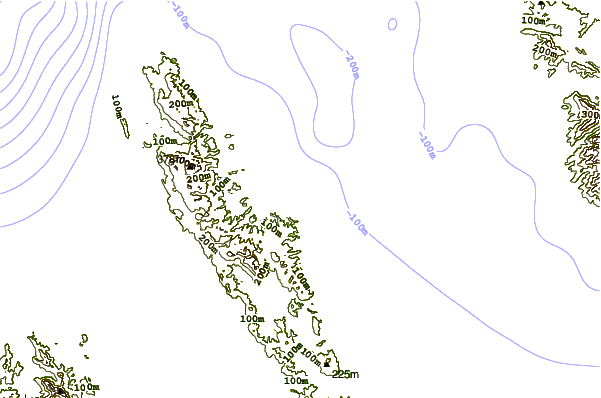
| Contours: | Roads & Rivers: | Select a
tide station / surf break / city |
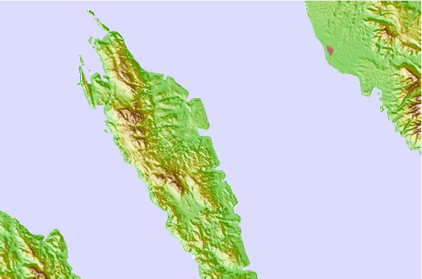
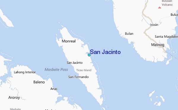
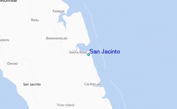
Use this relief map to navigate to tide stations, surf breaks and cities that are in the area of San Jacinto.
Other Nearby Locations' tide tables and tide charts to San Jacinto:
click location name for more details
 Surf breaks close to San Jacinto:
|
||
|---|---|---|
| Closest surf break | Virac Harbour | 76 mi |
| Second closest surf break | Moning | 86 mi |
| Third closest surf break | Lucky Point | 89 mi |
| Fourth closest surf break | Majestics | 89 mi |
| Fifth closest surf break | Point B | 89 mi |


 Nearest
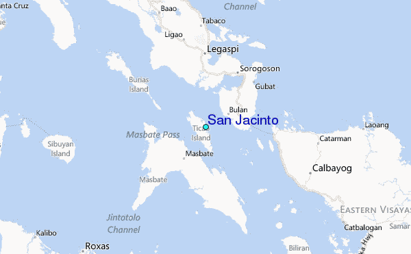