
| Distance / Altitude | Location | Report Date / Time | Live Weather | Wind | Gusts | Temp. | Visibility | Cloud |
|---|---|---|---|---|---|---|---|---|
| 7 km SE / 180 m | San Nicolas Island Airport (California) | 2026-07-21 07:53 local (2026/07/21 14:53 GMT) | - | light winds from the W (13 km/h at 270) | 26°C | 16 | few few | |
| 37 km WSW / 3 m | San Nicolas Island- CA (Marine) | 2026-07-21 08:56 local (2026/07/21 15:56 GMT) | - (- km/h at -) | 21°C | - | |||
| 56 km N / 3 m | Santa Cruz Basin- CA (Marine) | 2026-07-21 08:56 local (2026/07/21 15:56 GMT) | - (- km/h at -) | 20°C | - | |||
| 68 km NE / 3 m | Santa Monica Basin Buoy (Marine) | 2026-07-21 09:20 local (2026/07/21 16:20 GMT) | light winds from the SSE (7 km/h at 160) | 20°C | - | |||
| 81 km W / 3 m | South Santa Rosa Island Buoy (Marine) | 2026-07-21 09:20 local (2026/07/21 16:20 GMT) | - (0 km/h at -) | 19°C | - | |||
| 91 km ESE / 239 m | San Clemente Island Airport (California) | 2026-07-21 08:56 local (2026/07/21 15:56 GMT) | - | light winds from the WSW (7 km/h at 240) | 23°C | 16 | few | |
| 94 km S / 3 m | Tanner Banks Buoy (Marine) | 2026-07-21 09:30 local (2026/07/21 16:30 GMT) | calm (4 km/h at 100) | 19°C | - | |||
| 101 km NNE / 217 m | Point Mugu Naval Air Station Airport (California) | 2026-07-21 07:55 local (2026/07/21 14:55 GMT) | - | wind obs. (7 kph from 70 degs) was rejected (- km/h at -) | 22°C | 11 | few few scattered | |
| 102 km E / 714 m | Avalon Airport (California) | 2026-07-21 07:51 local (2026/07/21 14:51 GMT) | Clear | light winds from the W (9 km/h at 260) | 24°C | 16 | ||
| 103 km NE / 3 m | Santa Monica Bay- CA (Marine) | 2026-07-21 08:56 local (2026/07/21 15:56 GMT) | - (- km/h at -) | — | - |
| Contours: | Roads & Rivers: | Select a
tide station / surf break / city |
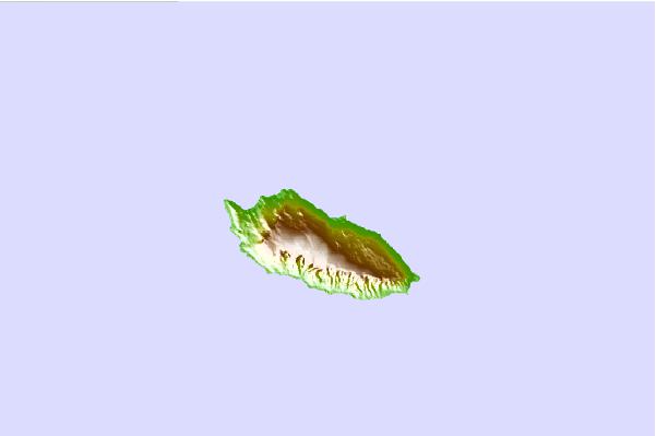
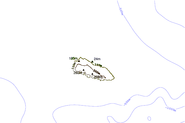
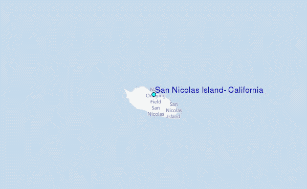
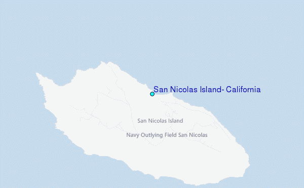
Use this relief map to navigate to tide stations, surf breaks and cities that are in the area of San Nicolas Island, California.
Other Nearby Locations' tide tables and tide charts to San Nicolas Island, California:
click location name for more details
 Surf breaks close to San Nicolas Island, California:
|
||
|---|---|---|
| Closest surf break | Ben Weston (Catalina Island) | 60 mi |
| Second closest surf break | Point Mugu | 62 mi |
| Third closest surf break | Arnold | 62 mi |
| Fourth closest surf break | County Line | 62 mi |
| Fifth closest surf break | Deadman's | 62 mi |


 Nearest
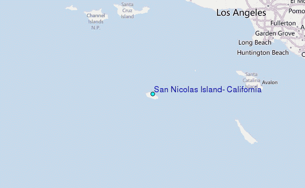