
| Distance / Altitude | Location | Report Date / Time | Live Weather | Wind | Gusts | Temp. | Visibility | Cloud |
|---|---|---|---|---|---|---|---|---|
| 41 km SE / 3 m | BUOY-MBXC1 (Marine) | 2026-05-21 08:50 local (2026/05/21 15:50 GMT) | - (- km/h at -) | — | - | |||
| 50 km E / 715 m | Paso Robles Airport (California) | 2026-05-21 07:53 local (2026/05/21 14:53 GMT) | Clear | calm (0 km/h at 0) | 13°C | 16 | ||
| 51 km E / 80 m | Cal Poly Engineering (United States) | 2026-05-21 09:00 local (2026/05/21 16:00 GMT) | - | calm (0 km/h at 40) | 30°C | - | - - 0 | |
| 56 km SSE / 3 m | Diablo Canyon- CA (Marine) | 2026-05-21 09:26 local (2026/05/21 16:26 GMT) | - (- km/h at -) | — | - | |||
| 65 km SE / 3 m | BUOY-CPXC1 (Marine) | 2026-05-21 09:02 local (2026/05/21 16:02 GMT) | calm (4 km/h at 190) | 11°C | - | |||
| 65 km W / 3 m | Cape San Martin Buoy (Marine) | 2026-05-21 09:30 local (2026/05/21 16:30 GMT) | moderate winds from the NW (25 km/h at 320) | 13°C | - | |||
| 65 km SE / 3 m | BUOY-PSLC1 (Marine) | 2026-05-21 09:00 local (2026/05/21 16:00 GMT) | - (- km/h at -) | — | - | |||
| 67 km W / - m | SHIP751 (ocean) | 2026-05-21 09:00 local (2026/05/21 16:00 GMT) | - | moderate winds from the NNW (22 km/h at 330) | 13°C | - | no observation | |
| 67 km W / - m | SHIP210 (ocean) | 2026-05-21 09:00 local (2026/05/21 16:00 GMT) | - | moderate winds from the NNW (22 km/h at 330) | 13°C | - | no observation | |
| 67 km W / - m | SHIP1322 (ocean) | 2026-05-21 09:00 local (2026/05/21 16:00 GMT) | - | moderate winds from the NNW (22 km/h at 330) | 13°C | - | no observation |
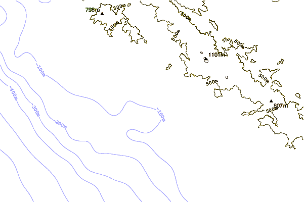
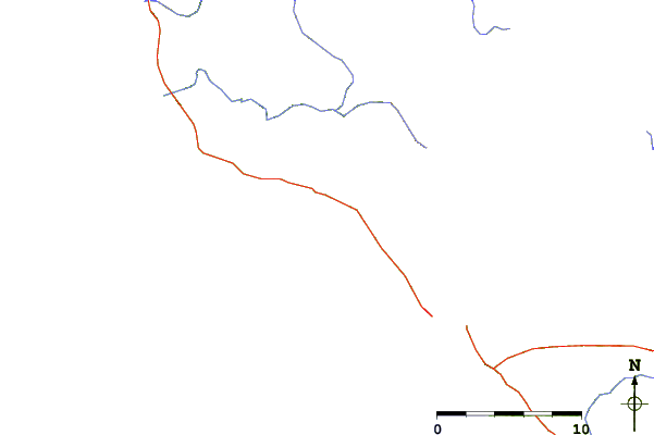
| Contours: | Roads & Rivers: | Select a
tide station / surf break / city |
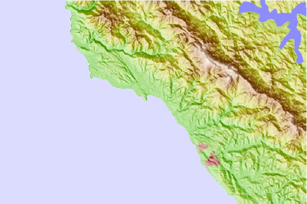
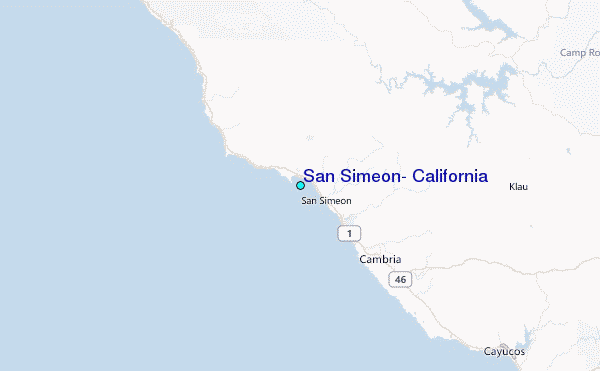
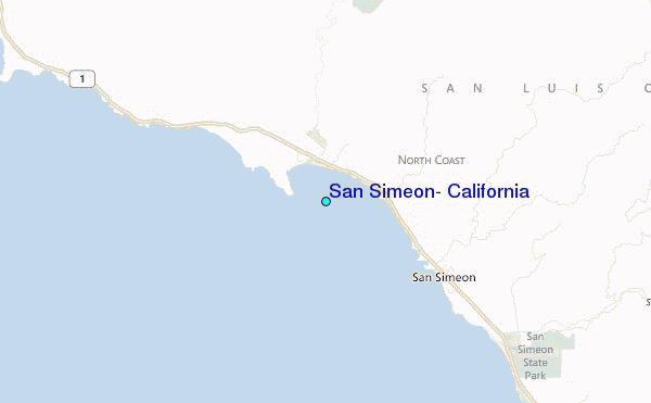
Use this relief map to navigate to tide stations, surf breaks and cities that are in the area of San Simeon, California.
Other Nearby Locations' tide tables and tide charts to San Simeon, California:
click location name for more details
 Surf breaks close to San Simeon, California:
|
||
|---|---|---|
| Closest surf break | Arroyo Laguna | 2 mi |
| Second closest surf break | Boners | 2 mi |
| Third closest surf break | Pico Creek | 3 mi |
| Fourth closest surf break | San Simeon Creek | 4 mi |
| Fifth closest surf break | Exotics | 5 mi |


 Nearest
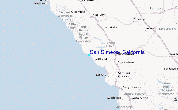