
| Distance / Altitude | Location | Report Date / Time | Live Weather | Wind | Gusts | Temp. | Visibility | Cloud |
|---|---|---|---|---|---|---|---|---|
| 15 km W / 10 m | El Catey International Airport (Dominican republic) | 2026-04-01 10:00 local (2026/04/01 14:00 GMT) | Dry and partly cloudy | light winds from the E (15 km/h at 90) | 25°C | 10.0 | scattered | |
| 18 km E / 35 m | Arroyo Barril Airport (Dominican republic) | 2026-04-01 10:00 local (2026/04/01 14:00 GMT) | Shower - in the vicinity | light winds from the NE (11 km/h at 40) | 24°C | 7.0 | few | |
| 57 km NE / 15 m | ASCATB291E20N (Marine) | 2026-04-01 09:33 local (2026/04/01 13:33 GMT) | moderate winds from the ENE (20 km/h at 66) | — | - km | |||
| 63 km N / 15 m | ASCATB290E20N (Marine) | 2026-04-01 09:33 local (2026/04/01 13:33 GMT) | light winds from the E (19 km/h at 90) | — | - km | |||
| 82 km S / 30 m | La Isabela International Airport (Dominican republic) | 2026-04-01 10:00 local (2026/04/01 14:00 GMT) | Dry and partly cloudy | light winds from the NNW (15 km/h at 340) | 28°C | 10.0 | scattered | |
| 84 km S / 41 m | Ensanche Savica de Mendoza wx (Dominican Republic) | 2026-04-01 10:42 local (2026/04/01 14:42 GMT) | dry | calm (3 km/h at 20) | 27°C | - | - - 0 | |
| 89 km W / 200 m | Los Zanjón wx (Dominican Republic) | 2026-04-01 11:09 local (2026/04/01 15:09 GMT) | dry | calm (0 km/h at ) | 27°C | - | - - 0 | |
| 89 km S / 212 m | Punta Caucedo/Las Americas Airport (Dominican Republic) | 2026-04-01 10:00 local (2026/04/01 14:00 GMT) | Dry and partly cloudy | light winds from the NE (15 km/h at 40) | 26°C | 10.0 | scattered | |
| 112 km SE / 365 m | La Romana International Airport (Dominican Republic) | 2026-04-01 10:00 local (2026/04/01 14:00 GMT) | Dry and partly cloudy | moderate winds from the ENE (26 km/h at 60) | 27°C | 10.0 | scattered | |
| 117 km W / 466 m | Puerto Plata IN Airport (Dominican Republic) | 2026-04-01 10:00 local (2026/04/01 14:00 GMT) | Dry and partly cloudy | light winds from the E (11 km/h at 90) | 26°C | 10.0 | scattered |
| Contours: | Roads & Rivers: | Select a
tide station / surf break / city |
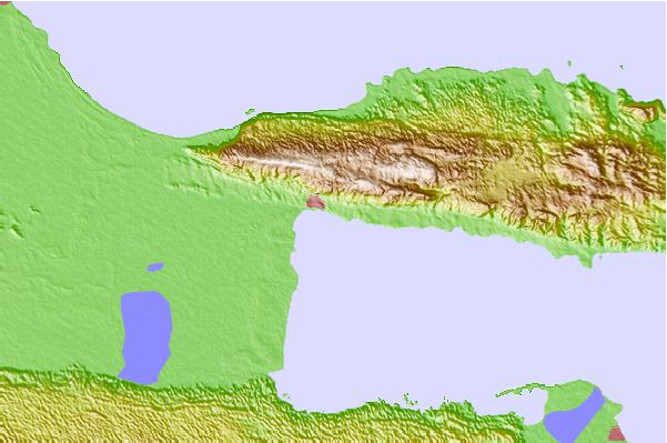
Use this relief map to navigate to tide stations, surf breaks and cities that are in the area of Sanchez, Dominican Republic.
Other Nearby Locations' tide tables and tide charts to Sanchez, Dominican Republic:
click location name for more details
 Surf breaks close to Sanchez, Dominican Republic:
|
||
|---|---|---|
| Closest surf break | El Coson | 9 mi |
| Second closest surf break | El Broke | 22 mi |
| Third closest surf break | La Preciosa | 44 mi |
| Fourth closest surf break | La Punta | 44 mi |
| Fifth closest surf break | Playa Grande | 44 mi |


 Nearest