
| Distance / Altitude | Location | Report Date / Time | Live Weather | Wind | Gusts | Temp. | Visibility | Cloud |
|---|---|---|---|---|---|---|---|---|
| 1 km WNW / 219 m | Midway Island Henderson Field Airport (Hawaii) | 2025-12-24 19:56 local (2025/12/25 06:56 GMT) | Clear | fresh winds from the WSW (35 km/h at 240) | 21°C | 16 | ||
| 1 km N / 3 m | BUOY-SNDP5 (Marine) | 2025-12-24 21:00 local (2025/12/25 08:00 GMT) | - (- km/h at -) | 21°C | - | |||
| 482 km ESE / 15 m | SHIP6457 (Marine) | 2025-12-24 19:00 local (2025/12/25 06:00 GMT) | moderate winds from the S (22.32 km/h at 180) | 21°C | 17.7 km | |||
| 1340 km NE / 0 m | lightning (United States) | 2025-12-24 19:47 local (2025/12/25 06:47 GMT) | Thunderstorm | (- km/h at -) | — | |||
| 483 km ESE / 15 m | SHIP9495 (Marine) | 2025-12-24 19:00 local (2025/12/25 06:00 GMT) | moderate winds from the S (22.32 km/h at 180) | 21°C | 17.7 km | |||
| 818 km NW / 15 m | SHIP3781 (Marine) | 2025-12-24 21:00 local (2025/12/25 08:00 GMT) | - (- km/h at -) | — | - km | |||
| 825 km NW / 15 m | SHIP8945 (Marine) | 2025-12-24 20:00 local (2025/12/25 07:00 GMT) | - (- km/h at -) | — | - km | |||
| 825 km NW / 15 m | SHIP4374 (Marine) | 2025-12-24 20:00 local (2025/12/25 07:00 GMT) | - (- km/h at -) | — | - km | |||
| 832 km NW / 15 m | SHIP6240 (Marine) | 2025-12-24 19:00 local (2025/12/25 06:00 GMT) | - (- km/h at -) | — | - km | |||
| 832 km NW / 15 m | SHIP3105 (Marine) | 2025-12-24 19:00 local (2025/12/25 06:00 GMT) | - (- km/h at -) | — | - km |
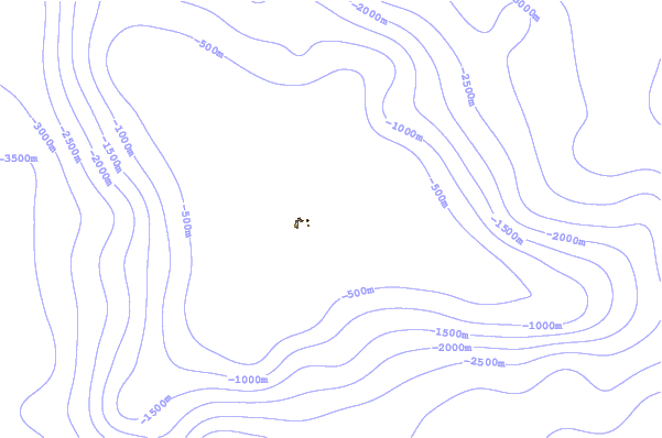
| Contours: | Roads & Rivers: | Select a
tide station / surf break / city |
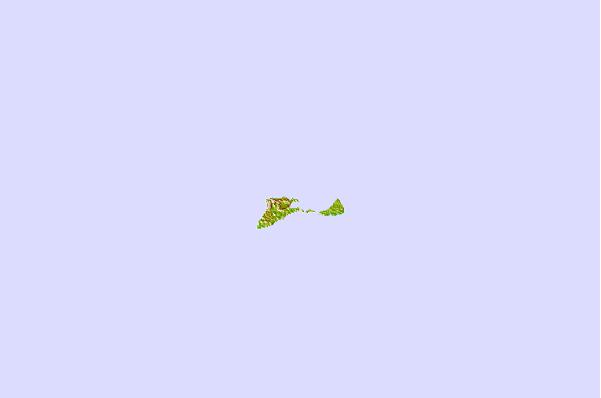
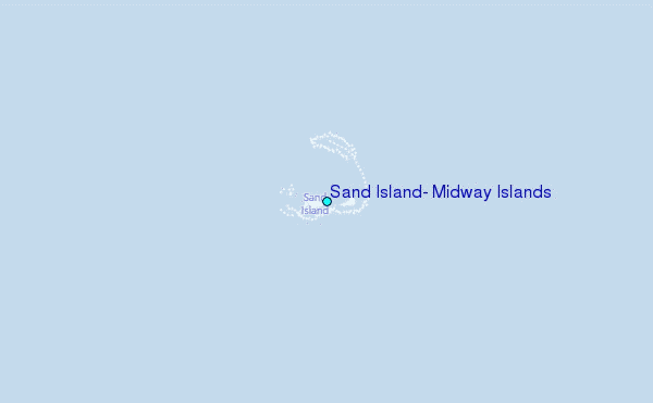
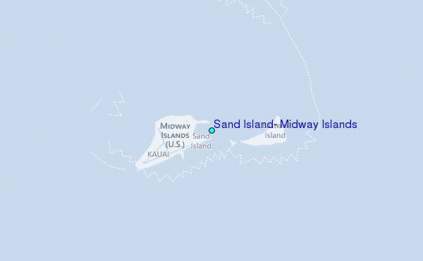
Use this relief map to navigate to tide stations, surf breaks and cities that are in the area of Sand Island, Midway Islands.
Other Nearby Locations' tide tables and tide charts to Sand Island, Midway Islands:
click location name for more details
 Surf breaks close to Sand Island, Midway Islands:
|
||
|---|---|---|
| Closest surf break | Majors Bay | 1178 mi |
| Second closest surf break | Polihale | 1178 mi |
| Third closest surf break | Davidson Point | 1184 mi |
| Fourth closest surf break | Cannons | 1185 mi |
| Fifth closest surf break | Tunnels | 1186 mi |


 Nearest