
| Distance / Altitude | Location | Report Date / Time | Live Weather | Wind | Gusts | Temp. | Visibility | Cloud |
|---|---|---|---|---|---|---|---|---|
| 0 km SSE / 216 m | Sand Point Airport (Alaska) | 2026-03-07 15:27 local (2026/03/08 00:27 GMT) | Dry and partly cloudy | strong winds from the NW (44 km/h at 310) | -9°C | 16 | few broken broken | |
| 85 km NW / 4 m | Nelson Lagoon Airport (Alaska) | 2026-03-07 15:38 local (2026/03/08 00:38 GMT) | Moderate snow | strong winds from the W (46 km/h at 280) | -12°C | 1 | few broken overcast | |
| 86 km NW / 3 m | BUOY-NLXA2 (Marine) | 2026-03-07 16:02 local (2026/03/08 01:02 GMT) | strong winds from the NW (46 km/h at 310) | -12°C | - | |||
| 115 km SW / 47 m | King Cove Airport (Alabama) (Alaska) | 2026-03-07 15:43 local (2026/03/08 00:43 GMT) | Dry and cloudy | strong winds from the WNW.(Wind varies from 005 to 009 degs) (41 km/h at 290) | -9°C | 0.0 | broken overcast | |
| 120 km SW / 3 m | BUOY-KGCA2 (Marine) | 2026-03-07 15:48 local (2026/03/08 00:48 GMT) | strong winds from the N (41 km/h at 360) | — | - | |||
| 121 km N / 3 m | BUOY-CPSA2 (Marine) | 2026-03-07 16:02 local (2026/03/08 01:02 GMT) | near gales from the WNW (54 km/h at 290) | -13°C | - | |||
| 142 km WSW / 161 m | Cold Bay Airport (Alaska) | 2026-03-07 15:35 local (2026/03/08 00:35 GMT) | Light snow | strong winds from the NW (48 km/h at 310) | -10°C | 6 | scattered broken overcast | |
| 173 km NE / 212 m | Chignik Bay Airport (Alaska) | 2026-03-07 14:56 local (2026/03/07 23:56 GMT) | - | wind obs. (22 kph from 240 degs) was rejected (- km/h at -) | -11°C | 16 | ||
| 207 km S / 15 m | SHIP2990 (Marine) | 2026-03-07 15:00 local (2026/03/08 00:00 GMT) | - (- km/h at -) | — | - km | |||
| 214 km S / 15 m | SHIP7762 (Marine) | 2026-03-07 14:00 local (2026/03/07 23:00 GMT) | - (- km/h at -) | — | - km |

| Contours: | Roads & Rivers: | Select a
tide station / surf break / city |
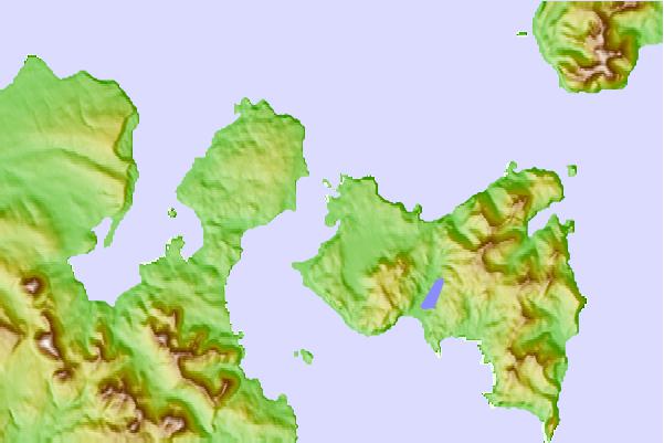
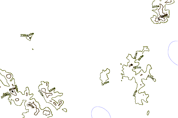

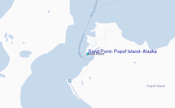
Use this relief map to navigate to tide stations, surf breaks and cities that are in the area of Sand Point, Popof Island, Alaska.
Other Nearby Locations' tide tables and tide charts to Sand Point, Popof Island, Alaska:
click location name for more details
 Surf breaks close to Sand Point, Popof Island, Alaska:
|
||
|---|---|---|
| Closest surf break | Fossil Beach Kodiak | 344 mi |
| Second closest surf break | Monashka Bay | 352 mi |
| Third closest surf break | Termination Point | 354 mi |
| Fourth closest surf break | Mill Bay | 354 mi |
| Fifth closest surf break | Bird Point (Tidal Bore) | 498 mi |


 Nearest
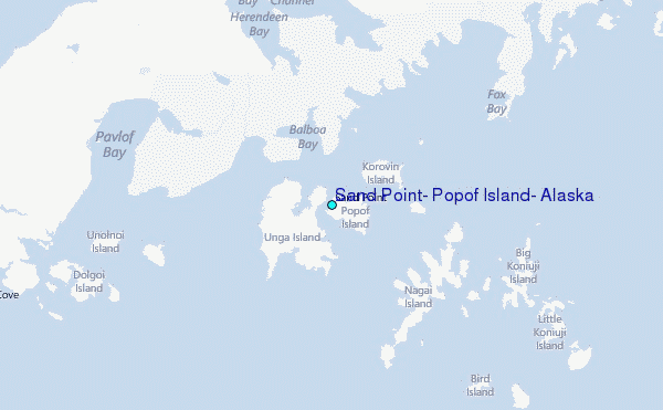