
| Distance / Altitude | Location | Report Date / Time | Live Weather | Wind | Gusts | Temp. | Visibility | Cloud |
|---|---|---|---|---|---|---|---|---|
| 56 km SW / 3 m | Aparri (Philippines) | 2025-12-24 02:00 local (2025/12/23 18:00 GMT) | - | wind obs. (7 kph from 60 degs) was rejected (- km/h at -) | — | 20 | - | |
| 85 km ENE / 15 m | hy2c123E19N (Marine) | 2025-12-23 23:58 local (2025/12/23 15:58 GMT) | fresh winds from the NE (29 km/h at 55) | — | - km | |||
| 105 km S / 213 m | Tuguegarao (Philippines) | 2025-12-24 02:00 local (2025/12/23 18:00 GMT) | - | calm (4 km/h at 190) | — | 10 | - | |
| 113 km WNW / 13 m | Calayan (Philippines) | 2025-12-24 02:00 local (2025/12/23 18:00 GMT) | - | light winds from the ESE (14 km/h at 120) | — | 25 | - | |
| 146 km E / 15 m | hy2c124E19N (Marine) | 2025-12-23 23:58 local (2025/12/23 15:58 GMT) | fresh winds from the NE (29 km/h at 55) | — | - km | |||
| 173 km WSW / 9 m | Laoag (Philippines) | 2025-12-24 02:00 local (2025/12/23 18:00 GMT) | light rain showers | light winds from the ESE (7 km/h at 110) | 29°C | 8 | - | |
| 176 km SE / 15 m | hy2c123E18N (Marine) | 2025-12-23 23:58 local (2025/12/23 15:58 GMT) | moderate winds from the ENE (21 km/h at 62) | — | - km | |||
| 176 km WSW / 344 m | Laoag International Airport (Philippines) | 2025-12-24 02:00 local (2025/12/23 18:00 GMT) | Dry and partly cloudy | calm (2 km/h at 1) | 25°C | 10.0 | few broken - | |
| 189 km SW / 49 m | Sinait Synoptic Station (Philippines) | 2025-12-24 02:00 local (2025/12/23 18:00 GMT) | thunderstorm but no precipitation falling at station | - (- km/h at -) | 31°C | 15 | - | |
| 197 km W / 15 m | SHIP9392 (Marine) | 2025-12-24 00:00 local (2025/12/23 16:00 GMT) | strong winds from the E (50.04 km/h at 80) | 24°C | 8.1 km |
| Contours: | Roads & Rivers: | Select a
tide station / surf break / city |
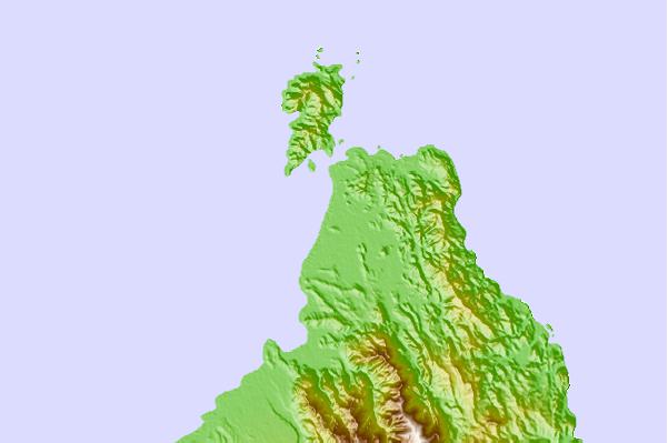
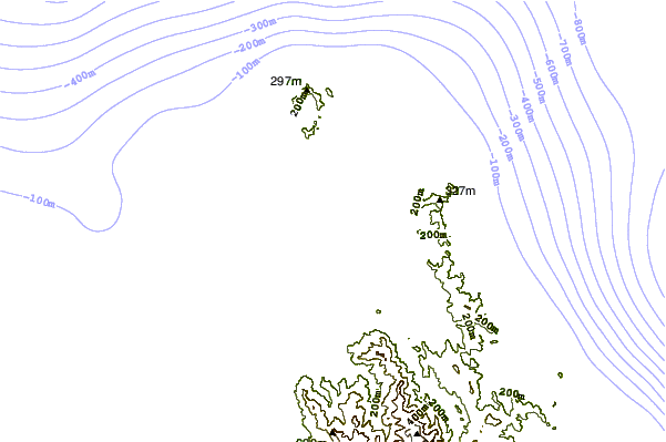
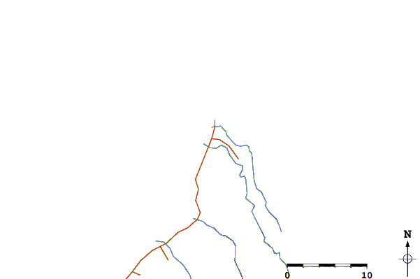
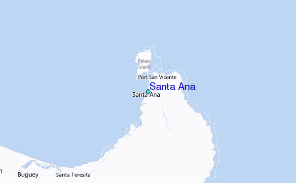
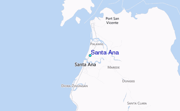
Use this relief map to navigate to tide stations, surf breaks and cities that are in the area of Santa Ana.
Other Nearby Locations' tide tables and tide charts to Santa Ana:
click location name for more details
 Surf breaks close to Santa Ana:
|
||
|---|---|---|
| Closest surf break | Badoc Point | 118 mi |
| Second closest surf break | Star Tubes | 118 mi |
| Third closest surf break | Badoc Island Lefts | 120 mi |
| Fourth closest surf break | Turtle Head | 120 mi |
| Fifth closest surf break | Puro Pinget | 130 mi |


 Nearest
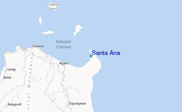