
| Distance / Altitude | Location | Report Date / Time | Live Weather | Wind | Gusts | Temp. | Visibility | Cloud |
|---|---|---|---|---|---|---|---|---|
| 9 km ENE / 218 m | Costa Mesa Airport (California) | 2026-07-28 05:53 local (2026/07/28 12:53 GMT) | Dry and cloudy | calm (0 km/h at 0) | 21°C | 16 | overcast | |
| 16 km ENE / 22.8 m | Irvine (California) | 2026-07-28 07:44 local (2026/07/28 14:44 GMT) | dry | wind obs. (10 kph from 83 degs) was rejected (- km/h at -) | 26°C | - | - - 0 | |
| 17 km NW / 213 m | Los Alamitos Army Airfield Airport (California) | 2026-07-28 06:16 local (2026/07/28 13:16 GMT) | Haze - | calm (0 km/h at 0) | 21°C | 10 | broken broken | |
| 22 km SW / 3 m | San Pedro South- CA (Marine) | 2026-07-28 07:26 local (2026/07/28 14:26 GMT) | - (- km/h at -) | — | - | |||
| 24 km W / 3 m | Long Beach Channel- CA (Marine) | 2026-07-28 07:26 local (2026/07/28 14:26 GMT) | - (- km/h at -) | — | - | |||
| 25 km W / 3 m | BUOY-PRJC1 (Marine) | 2026-07-28 07:00 local (2026/07/28 14:00 GMT) | light winds from the SSE (11 km/h at 150) | — | - | |||
| 26 km N / 218 m | Fullerton Airport (California) | 2026-07-28 05:53 local (2026/07/28 12:53 GMT) | Clear | calm (0 km/h at 0) | 21°C | 16 | ||
| 28 km WNW / 218 m | Long Beach Airport (California) | 2026-07-28 05:53 local (2026/07/28 12:53 GMT) | Dry and partly cloudy | light winds from the E (6 km/h at 80) | 21°C | 16 | scattered | |
| 28 km ENE / 309 m | Coeur d Alene (Idaho) | 2026-07-28 07:00 local (2026/07/28 14:00 GMT) | dry | calm (0 km/h at 42) | 14°C | - | - - 0 | |
| 28 km W / 3 m | BUOY-PFXC1 (Marine) | 2026-07-28 07:00 local (2026/07/28 14:00 GMT) | light winds from the SSE (9 km/h at 160) | 21°C | - |
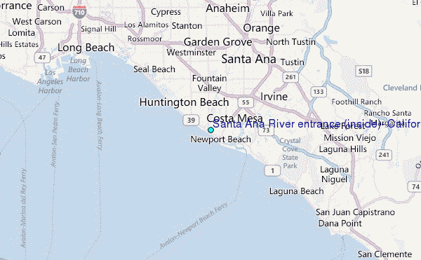
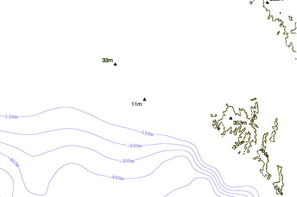
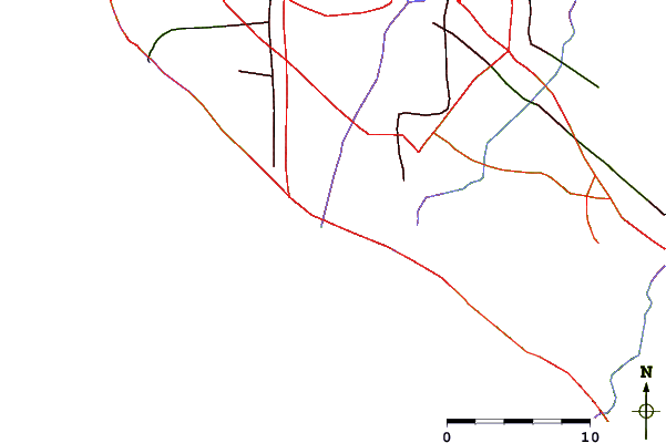
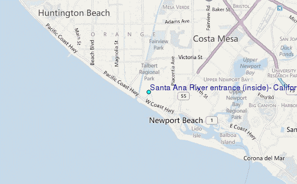
Choose Santa Ana River entrance (inside), California Location Map Zoom:
| Contours: | Roads & Rivers: | Select a
tide station / surf break / city |
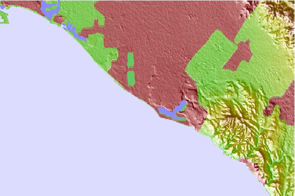
Use this relief map to navigate to tide stations, surf breaks and cities that are in the area of Santa Ana River entrance (inside), California.
Other Nearby Locations' tide tables and tide charts to Santa Ana River entrance (inside), California:
click location name for more details
 Surf breaks close to Santa Ana River entrance (inside), California:
|
||
|---|---|---|
| Closest surf break | 56th St | 1 mi |
| Second closest surf break | 40th Street | 1 mi |
| Third closest surf break | Newport Beach | 1 mi |
| Fourth closest surf break | Blackies | 2 mi |
| Fifth closest surf break | Newport Point | 2 mi |


 Nearest
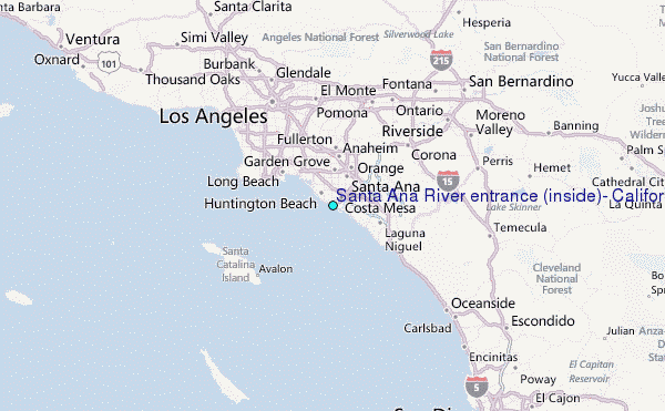