
| Distance / Altitude | Location | Report Date / Time | Live Weather | Wind | Gusts | Temp. | Visibility | Cloud |
|---|---|---|---|---|---|---|---|---|
| 0 km W / 3 m | BUOY-NTBC1 (Marine) | 2026-05-21 08:36 local (2026/05/21 15:36 GMT) | calm (4 km/h at 170) | 13°C | - | |||
| 15 km WSW / 218 m | Santa Barbara Airport (California) | 2026-05-21 07:57 local (2026/05/21 14:57 GMT) | Mist - | light winds from the SSE (13 km/h at 150) | 14°C | 6 | overcast | |
| 23 km SSW / 3 m | East Santa Barbara Buoy (Marine) | 2026-05-21 08:50 local (2026/05/21 15:50 GMT) | light winds from the SW (14 km/h at 230) | 12°C | - | |||
| 25 km S / - m | SHIP1586 (ocean) | 2026-05-21 08:00 local (2026/05/21 15:00 GMT) | - | light winds from the SW (18 km/h at 230) | 11°C | - | no observation | |
| 36 km NE / 1410 m | Reedley Airport (California) (California) | 2026-05-21 08:35 local (2026/05/21 15:35 GMT) | Clear | wind obs. (9 kph from 140 degs) was rejected (- km/h at -) | 23°C | 16 | ||
| 25 km S / - m | SHIP115 (ocean) | 2026-05-21 08:00 local (2026/05/21 15:00 GMT) | - | light winds from the SW (14 km/h at 220) | 11°C | - | no observation | |
| 25 km S / - m | SHIP1213 (ocean) | 2026-05-21 09:00 local (2026/05/21 16:00 GMT) | - | light winds from the SW (14 km/h at 230) | 12°C | - | no observation | |
| 25 km S / - m | SHIP1313 (ocean) | 2026-05-21 09:00 local (2026/05/21 16:00 GMT) | - | light winds from the SW (14 km/h at 230) | 12°C | - | no observation | |
| 25 km S / - m | SHIP1020 (ocean) | 2026-05-21 08:00 local (2026/05/21 15:00 GMT) | - | light winds from the SW (18 km/h at 230) | 12°C | - | no observation | |
| 25 km S / - m | SHIP1866 (ocean) | 2026-05-21 09:00 local (2026/05/21 16:00 GMT) | - | light winds from the SW (14 km/h at 230) | 12°C | - | no observation |
| Contours: | Roads & Rivers: | Select a
tide station / surf break / city |
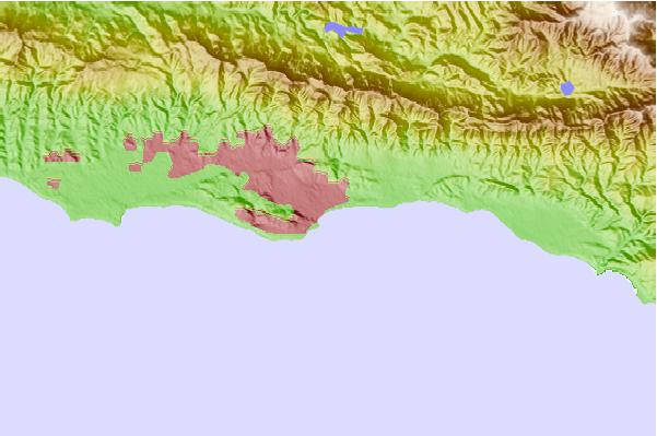
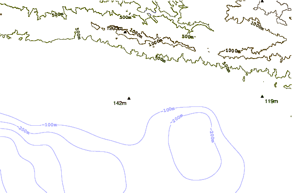
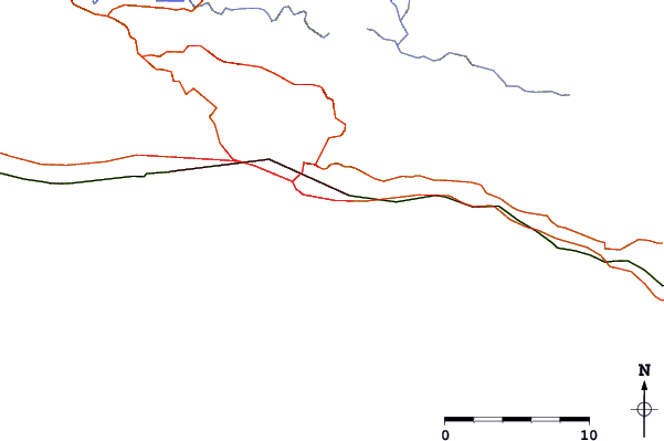
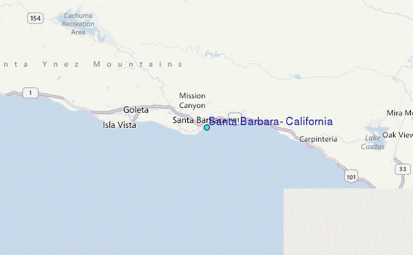
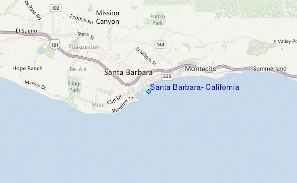
Use this relief map to navigate to tide stations, surf breaks and cities that are in the area of Santa Barbara, California.
Other Nearby Locations' tide tables and tide charts to Santa Barbara, California:
click location name for more details
 Surf breaks close to Santa Barbara, California:
|
||
|---|---|---|
| Closest surf break | Sandspit | 0 mi |
| Second closest surf break | Leadbetter | 1 mi |
| Third closest surf break | Mesa | 2 mi |
| Fourth closest surf break | Hammonds Reef | 3 mi |
| Fifth closest surf break | Hendry's Beach | 3 mi |


 Nearest
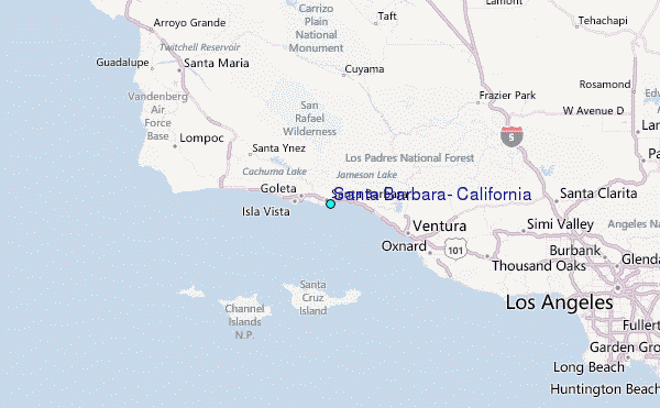