
| Distance / Altitude | Location | Report Date / Time | Live Weather | Wind | Gusts | Temp. | Visibility | Cloud |
|---|---|---|---|---|---|---|---|---|
| 31 km N / 3 m | Santa Monica Basin Buoy (Marine) | 2025-12-25 01:50 local (2025/12/25 09:50 GMT) | fresh winds from the SSE (32 km/h at 150) | 17°C | - | |||
| 35 km N / - m | SHIP419 (ocean) | 2025-12-25 01:00 local (2025/12/25 09:00 GMT) | - | fresh winds from the SE (29 km/h at 140) | 16°C | - | no observation | |
| 49 km SSW / 180 m | San Nicolas Island Airport (California) | 2025-12-25 01:43 local (2025/12/25 09:43 GMT) | - | moderate winds from the S (22 km/h at 170) | 16°C | 0.0 | ||
| 55 km NE / 3 m | Santa Monica Bay- CA (Marine) | 2025-12-25 01:26 local (2025/12/25 09:26 GMT) | - (- km/h at -) | — | - | |||
| 58 km E / 714 m | Avalon Airport (California) | 2025-12-24 23:51 local (2025/12/25 07:51 GMT) | Dry and partly cloudy | light winds from the S.(Wind varies from 005 to 011 degs) (15 km/h at 190) | 13°C | 16 | broken | |
| 35 km N / - m | SHIP702 (ocean) | 2025-12-25 01:00 local (2025/12/25 09:00 GMT) | - | fresh winds from the SSE (29 km/h at 150) | 16°C | - | no observation | |
| 35 km N / - m | SHIP56 (ocean) | 2025-12-25 01:00 local (2025/12/25 09:00 GMT) | - | fresh winds from the SE (29 km/h at 140) | 16°C | - | no observation | |
| 35 km N / - m | SHIP1253 (ocean) | 2025-12-25 02:00 local (2025/12/25 10:00 GMT) | - | fresh winds from the SSE (32 km/h at 150) | 17°C | - | no observation | |
| 35 km N / - m | SHIP233 (ocean) | 2025-12-25 01:00 local (2025/12/25 09:00 GMT) | - | fresh winds from the SE (29 km/h at 140) | 16°C | - | no observation | |
| 35 km N / - m | SHIP862 (ocean) | 2025-12-25 02:00 local (2025/12/25 10:00 GMT) | - | fresh winds from the SSE (29 km/h at 160) | 17°C | - | no observation |
| Contours: | Roads & Rivers: | Select a
tide station / surf break / city |
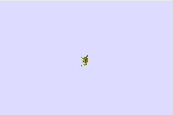
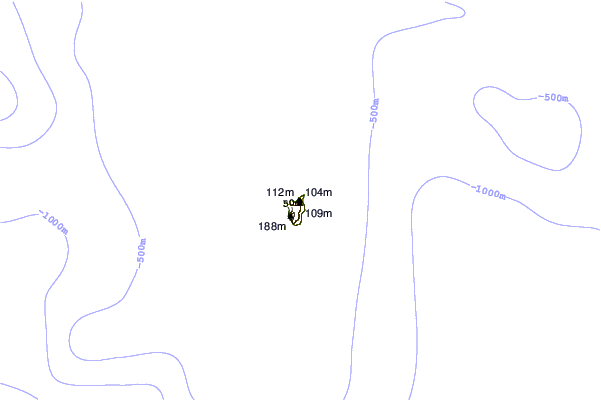
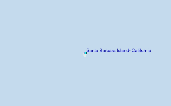
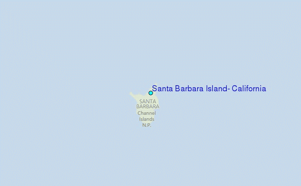
Use this relief map to navigate to tide stations, surf breaks and cities that are in the area of Santa Barbara Island, California.
Other Nearby Locations' tide tables and tide charts to Santa Barbara Island, California:
click location name for more details
 Surf breaks close to Santa Barbara Island, California:
|
||
|---|---|---|
| Closest surf break | Ben Weston (Catalina Island) | 33 mi |
| Second closest surf break | Westward Beach/Point Dume | 39 mi |
| Third closest surf break | Heavens | 39 mi |
| Fourth closest surf break | Leo Carillo State Beach | 39 mi |
| Fifth closest surf break | Marshalls | 39 mi |


 Nearest
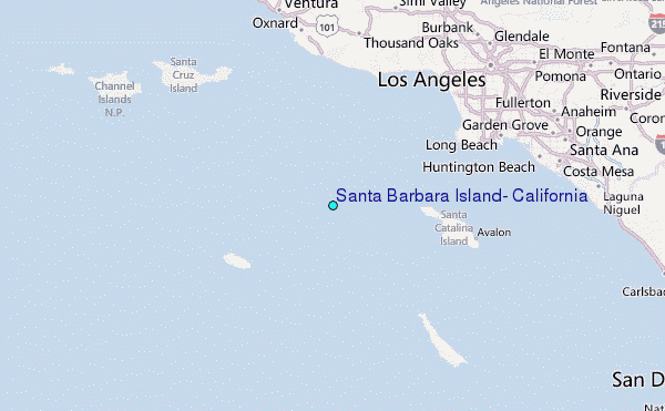