
| Distance / Altitude | Location | Report Date / Time | Live Weather | Wind | Gusts | Temp. | Visibility | Cloud |
|---|---|---|---|---|---|---|---|---|
| 99 km SE / 584 m | Angeles/Pampanga Airport (Philippines) | 2026-03-30 16:00 local (2026/03/30 08:00 GMT) | Dry and partly cloudy | light winds from the ESE (15 km/h at 110) | 34°C | 8.0 | scattered | |
| 114 km SSE / 452 m | Olongapo/Subic Bay Airport (Philippines) | 2026-03-30 16:00 local (2026/03/30 08:00 GMT) | - | light winds from the SSW (11 km/h at 210) | 31°C | 10.0 | few | |
| 175 km SE / 26 m | Quezon City (Åland) | 2026-03-30 16:37 local (2026/03/30 08:37 GMT) | dry | calm (5 km/h at 207) | 33°C | - | - - 0 | |
| 182 km SE / 217 m | Ninoy Aquino International Airport (Manila) (Philippines) | 2026-03-30 16:00 local (2026/03/30 08:00 GMT) | Dry and partly cloudy | light winds from the SE.(Wind varies from 090 to 170 degs) (17 km/h at 130) | 33°C | 10.0 | few scattered - | |
| 186 km SE / 26 m | Paranaque (Philippines) | 2026-03-30 16:45 local (2026/03/30 08:45 GMT) | dry | light winds from the SE (14 km/h at 129) | 31°C | - | - - 0 | |
| 191 km SE / 22 m | Sucat (Philippines) | 2026-03-30 16:37 local (2026/03/30 08:37 GMT) | dry | light winds from the SSE (8 km/h at 152) | 31°C | - | - - 0 | |
| 207 km NNE / 5 m | Rugsuanan wx (Philippines) | 2026-03-30 17:02 local (2026/03/30 09:02 GMT) | - | - (- km/h at ) | 34°C | - | - - 0 | |
| 274 km NNE / 344 m | Laoag International Airport (Philippines) | 2026-03-30 16:00 local (2026/03/30 08:00 GMT) | Dry and partly cloudy | moderate winds from the WNW (22 km/h at 290) | 30°C | 10.0 | few scattered - | |
| 283 km SE / 6 m | Laiya (Philippines) | 2026-03-30 15:55 local (2026/03/30 07:55 GMT) | dry | calm (2 km/h at 173) | 30°C | - | - - 0 | |
| 432 km WNW / 3 m | SHIP4728 (Marine) | 2026-03-30 16:00 local (2026/03/30 08:00 GMT) | light winds from the S (13 km/h at 180) | 27°C | 9.3 |
| Contours: | Roads & Rivers: | Select a
tide station / surf break / city |
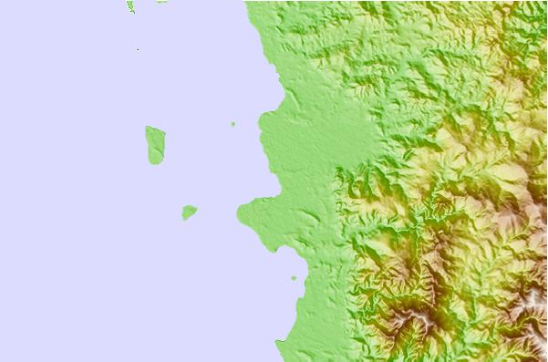
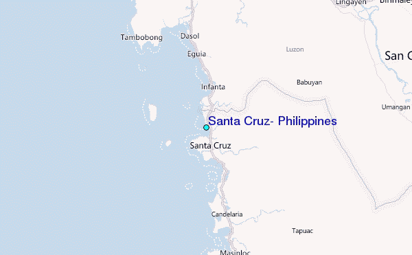
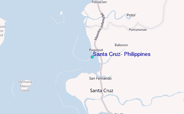
Use this relief map to navigate to tide stations, surf breaks and cities that are in the area of Santa Cruz, Philippines.
Other Nearby Locations' tide tables and tide charts to Santa Cruz, Philippines:
click location name for more details
 Surf breaks close to Santa Cruz, Philippines:
|
||
|---|---|---|
| Closest surf break | Bauang | 60 mi |
| Second closest surf break | Poro Point | 63 mi |
| Third closest surf break | Car-rille | 65 mi |
| Fourth closest surf break | Mona Liza Point | 67 mi |
| Fifth closest surf break | San Juan | 68 mi |


 Nearest
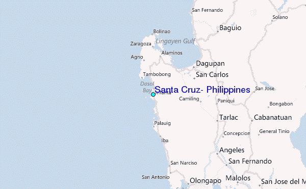