
| Distance / Altitude | Location | Report Date / Time | Live Weather | Wind | Gusts | Temp. | Visibility | Cloud |
|---|---|---|---|---|---|---|---|---|
| 3 km S / 36 m | Santa Cruz Tenerife (Spain) | 2025-12-21 00:00 local (2025/12/21 00:00 GMT) | no report | light winds from the N (9 km/h at 10) | 23°C | 20 | - | |
| 4 km SW / 232 m | Santa María de Gracia wx (Spain) | 2025-12-20 22:09 local (2025/12/20 22:09 GMT) | dry | calm (0 km/h at 48) | 16°C | - | - - 0 | |
| 7 km WSW / 558 m | San Bartolomé de Geneto wx (Spain) | 2025-12-21 00:35 local (2025/12/21 00:35 GMT) | dry | calm (5 km/h at 312) | 13°C | - | - - 0 | |
| 8 km SW / 503 m | Tenerife/Los Rodeos Airport (Spain) | 2025-12-20 23:30 local (2025/12/20 23:30 GMT) | Dry and partly cloudy | moderate winds from the NW.(Wind varies from 290 to 360 degs) (20 km/h at 320) | 12°C | 10.0 | scattered broken | |
| 9 km WSW / 617 m | Tenerife North–Ciudad de La Laguna Airport (Spain) | 2025-12-21 00:00 local (2025/12/21 00:00 GMT) | no report | wind obs. (22 kph from 320 degs) was rejected (- km/h at -) | 18°C | 27 | - | |
| 12 km WSW / 494 m | El Portezuelo wx (Spain) | 2025-12-21 00:13 local (2025/12/21 00:13 GMT) | - | - (- km/h at ) | — | - | - - 0 | |
| 13 km SW / 930 m | La Esperanza wx (Spain) | 2025-12-21 00:00 local (2025/12/21 00:00 GMT) | - | wind obs. (23 kph from 294 degs) was rejected (- km/h at -) | — | - | - - 0 | |
| 15 km W / 118 m | Tejina wx (Spain) | 2025-12-21 00:44 local (2025/12/21 00:44 GMT) | dry | light winds from the SW (8 km/h at 223) | 15°C | - | - - 0 | |
| 20 km WSW / 456 m | La Matanza de Acentejo wx (Spain) | 2025-12-21 00:01 local (2025/12/21 00:01 GMT) | - | - (- km/h at ) | 17°C | - | - - 0 | |
| 23 km E / 3 m | SHIP2291 (Marine) | 2025-12-20 23:00 local (2025/12/20 23:00 GMT) | moderate winds from the NNE (28 km/h at 20) | 19°C | 20.4 |
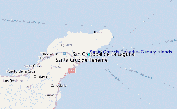
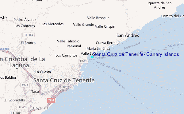
Choose Santa Cruz de Tenerife, Canary Islands Location Map Zoom:
| Contours: | Roads & Rivers: | Select a
tide station / surf break / city |
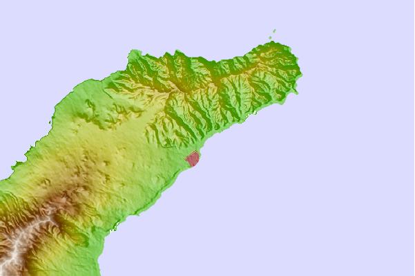
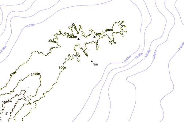
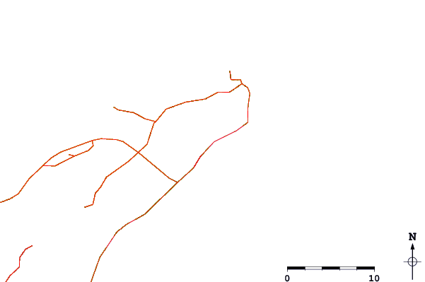
Use this relief map to navigate to tide stations, surf breaks and cities that are in the area of Santa Cruz de Tenerife, Canary Islands.
Other Nearby Locations' tide tables and tide charts to Santa Cruz de Tenerife, Canary Islands:
click location name for more details
 Surf breaks close to Santa Cruz de Tenerife, Canary Islands:
|
||
|---|---|---|
| Closest surf break | Las Gaviotas | 4 mi |
| Second closest surf break | El Roque Taganana | 6 mi |
| Third closest surf break | Benijo | 7 mi |
| Fourth closest surf break | Igueste de San Andres | 7 mi |
| Fifth closest surf break | La Derecha de Almaciga | 7 mi |


 Nearest
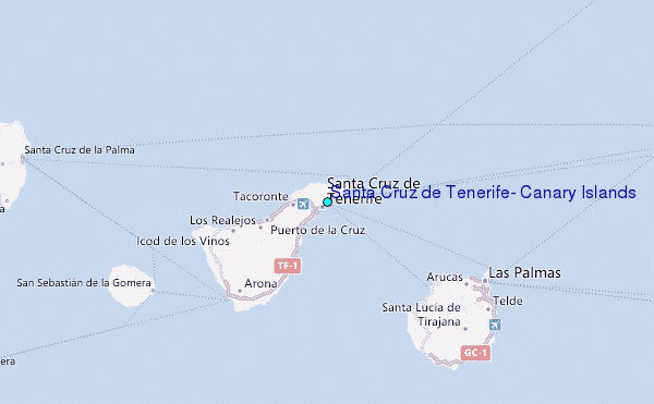