
| Distance / Altitude | Location | Report Date / Time | Live Weather | Wind | Gusts | Temp. | Visibility | Cloud |
|---|---|---|---|---|---|---|---|---|
| 111 km E / 211 m | Guayaquil/José Joaquín de Olmedo International Airport (Ecuador) | 2025-12-25 23:00 local (2025/12/26 04:00 GMT) | Dry and partly cloudy | moderate winds from the SW (22 km/h at 230) | 25°C | 10.0 | few scattered | |
| 143 km N / 190 m | Manta/Eloy Alfaro International Airport (Ecuador) | 2025-12-25 22:00 local (2025/12/26 03:00 GMT) | Dry and partly cloudy | light winds from the SSW (15 km/h at 200) | 24°C | 10.0 | broken broken - | |
| 153 km SSE / 158 m | Tumbes Pedro Canga Rodríguez Airport (Peru) | 2025-12-25 22:00 local (2025/12/26 03:00 GMT) | Dry and partly cloudy | light winds from the E (6 km/h at 90) | 25°C | 10.0 | broken | |
| 156 km SSE / 27 m | Tumbes (Peru) | 2025-12-25 22:00 local (2025/12/26 03:00 GMT) | Clouds developing | wind obs. (6 kph from 90 degs) was rejected (- km/h at -) | 25°C | 30 km | scattered | |
| 288 km ENE / 2768 m | Latacunga/Cotopaxi Airport (Ecuador) | 2025-12-25 22:00 local (2025/12/26 03:00 GMT) | - | light winds from the N (7 km/h at 10) | 9°C | 10.0 | few | |
| 295 km NE / 3200 m | Latacunga (Ecuador) | 2025-12-26 00:07 local (2025/12/26 05:07 GMT) | dry | calm (0 km/h at 259) | 8°C | - | - - 0 | |
| 327 km S / 1 m | Piura/Capitán FAP Guillermo Concha Iberico International Airport (Peru) | 2025-12-25 23:00 local (2025/12/26 04:00 GMT) | - | light winds from the S (13 km/h at 170) | — | 0.0 | ||
| 328 km S / 186 m | Piura-Capitán FAP Guillermo Concha Iberico International (Peru) | 2025-12-25 22:00 local (2025/12/26 03:00 GMT) | State of sky unchanged | moderate winds from the S (20 km/h at 170) | 22°C | 30 km | - clear - | |
| 364 km NE / 2400 m | Quito New International Airport (Ecuador) | 2025-12-25 23:00 local (2025/12/26 04:00 GMT) | Dry and partly cloudy | wind obs. (7 kph from 360 degs) was rejected (- km/h at -) | 13°C | 10.0 | broken | |
| 419 km NE / 2952 m | AEP Yuracrucito (Ecuador) | 2025-12-26 00:00 local (2025/12/26 05:00 GMT) | - | calm (2 km/h at 164) | 10°C | - | - - 0 |
| Contours: | Roads & Rivers: | Select a
tide station / surf break / city |
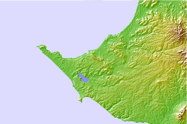
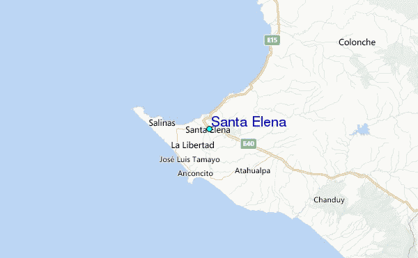
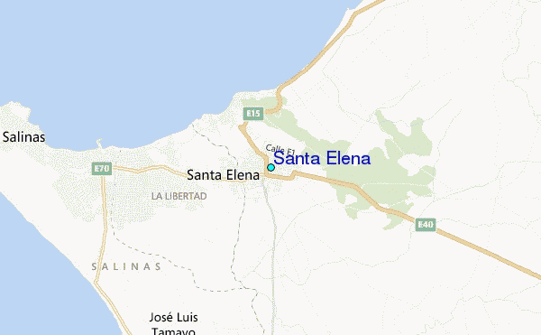
Use this relief map to navigate to tide stations, surf breaks and cities that are in the area of Santa Elena.
Other Nearby Locations' tide tables and tide charts to Santa Elena:
click location name for more details
 Surf breaks close to Santa Elena:
|
||
|---|---|---|
| Closest surf break | Punta Chulluype | 2 mi |
| Second closest surf break | Los Capaes | 2 mi |
| Third closest surf break | Punta Murcielago | 2 mi |
| Fourth closest surf break | Punta San Lorenzo | 4 mi |
| Fifth closest surf break | Punta Barandua | 4 mi |


 Nearest
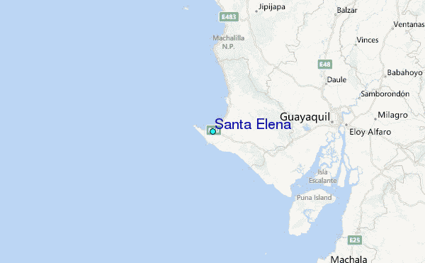