
| Distance / Altitude | Location | Report Date / Time | Live Weather | Wind | Gusts | Temp. | Visibility | Cloud |
|---|---|---|---|---|---|---|---|---|
| 120 km SW / 6 m | Laiya (Philippines) | 2025-12-25 18:55 local (2025/12/25 10:55 GMT) | dry | - (- km/h at ) | — | - | - - 0 | |
| 148 km W / 22 m | Sucat (Philippines) | 2025-12-25 19:49 local (2025/12/25 11:49 GMT) | dry | light winds from the ESE (8 km/h at 112) | 27°C | - | - - 0 | |
| 151 km W / 26 m | Paranaque (Philippines) | 2025-12-25 19:41 local (2025/12/25 11:41 GMT) | dry | light winds from the ESE (8 km/h at 107) | 27°C | - | - - 0 | |
| 152 km W / 26 m | Quezon City (Åland) | 2025-12-25 19:04 local (2025/12/25 11:04 GMT) | dry | calm (2 km/h at 4) | 28°C | - | - - 0 | |
| 154 km W / 217 m | Ninoy Aquino International Airport (Manila) (Philippines) | 2025-12-25 19:00 local (2025/12/25 11:00 GMT) | Dry and partly cloudy | light winds from the ESE.(Wind varies from 080 to 150 degs) (9 km/h at 120) | 28°C | 10.0 | few scattered broken | |
| 185 km W / 15 m | SHIP3989 (Marine) | 2025-12-25 18:00 local (2025/12/25 10:00 GMT) | - (- km/h at -) | — | - km | |||
| 185 km W / 3 m | SHIP4829 (Marine) | 2025-12-25 19:00 local (2025/12/25 11:00 GMT) | - (- km/h at -) | 28°C | - | |||
| 185 km W / 15 m | SHIP7259 (Marine) | 2025-12-25 19:00 local (2025/12/25 11:00 GMT) | - (- km/h at -) | — | - km | |||
| 185 km W / 15 m | SHIP8387 (Marine) | 2025-12-25 18:00 local (2025/12/25 10:00 GMT) | - (- km/h at -) | — | - km | |||
| 185 km W / 15 m | SHIP3745 (Marine) | 2025-12-25 18:00 local (2025/12/25 10:00 GMT) | - (- km/h at -) | — | - km |
| Contours: | Roads & Rivers: | Select a
tide station / surf break / city |
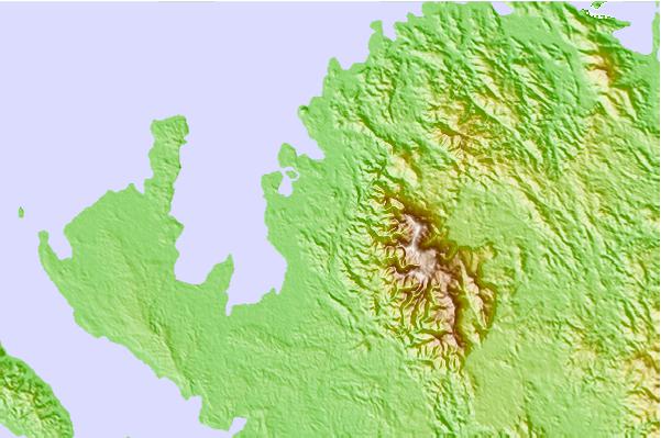
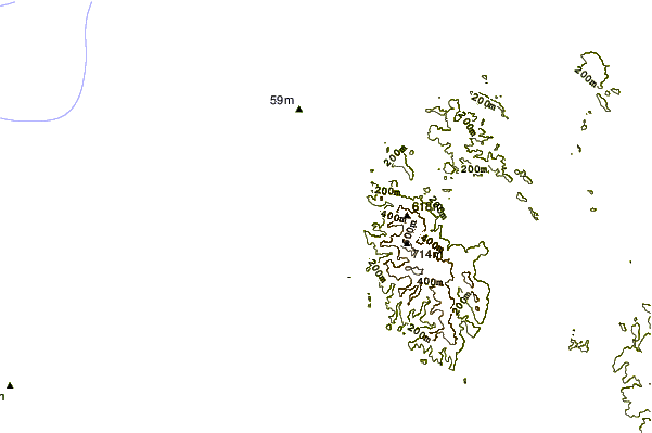
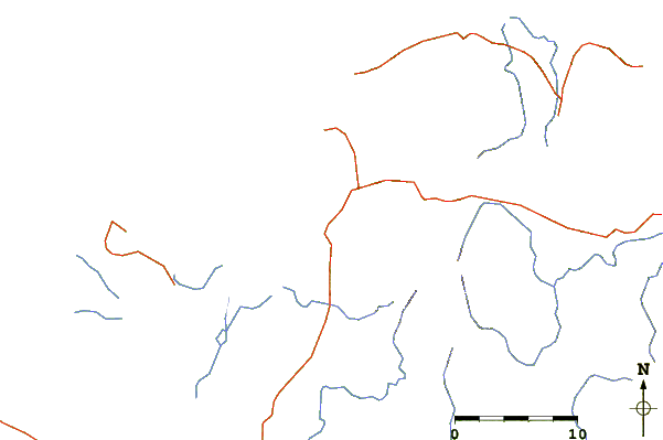
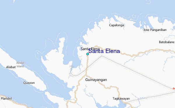
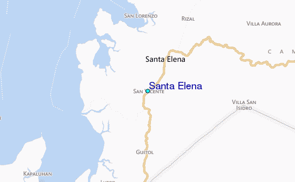
Use this relief map to navigate to tide stations, surf breaks and cities that are in the area of Santa Elena.
Other Nearby Locations' tide tables and tide charts to Santa Elena:
click location name for more details
 Surf breaks close to Santa Elena:
|
||
|---|---|---|
| Closest surf break | Bagasbas Beach | 40 mi |
| Second closest surf break | Cobra Reef - Cemento | 122 mi |
| Third closest surf break | Baler - Charlie's Point | 123 mi |
| Fourth closest surf break | Baler - Lindy's Point | 123 mi |
| Fifth closest surf break | Baler - Sabang | 123 mi |


 Nearest