
| Distance / Altitude | Location | Report Date / Time | Live Weather | Wind | Gusts | Temp. | Visibility | Cloud |
|---|---|---|---|---|---|---|---|---|
| 7 km ENE / 410 m | Leivi GE (Italy) | 2025-12-26 12:09 local (2025/12/26 11:09 GMT) | dry | calm (3 km/h at 116) | 12°C | - | - - 0 | |
| 8 km NE / 149 m | Prato Officioso wx (Italy) | 2025-12-26 12:15 local (2025/12/26 11:15 GMT) | dry | calm (5 km/h at 294) | — | - | - - 0 | |
| 9 km W / 123 m | Sori ( Genova ) (Italy) | 2025-12-26 12:37 local (2025/12/26 11:37 GMT) | dry | calm (3 km/h at 271) | 14°C | - | - - 0 | |
| 9 km E / 207 m | Comune wx (Italy) | 2025-12-26 12:21 local (2025/12/26 11:21 GMT) | dry | calm (2 km/h at 90) | — | - | - - 0 | |
| 10 km E / 15 m | Caperana wx (Italy) | 2025-12-26 12:32 local (2025/12/26 11:32 GMT) | - | - (- km/h at ) | 14°C | - | - - 0 | |
| 10 km E / 153 m | Curlo wx (Italy) | 2025-12-26 11:45 local (2025/12/26 10:45 GMT) | dry | calm (3 km/h at 93) | 11°C | - | - - 0 | |
| 11 km E / 35 m | Curlo wx (Italy) | 2025-12-26 12:15 local (2025/12/26 11:15 GMT) | - | light winds from the ENE (10 km/h at 67) | — | - | - - 0 | |
| 17 km ESE / 20 m | Sestri Levante wx (Italy) | 2025-12-26 12:49 local (2025/12/26 11:49 GMT) | dry | light winds from the NE (16 km/h at 42) | 14°C | - | - - 0 | |
| 21 km W / 150 m | San Martino wx (Italy) | 2025-12-26 12:13 local (2025/12/26 11:13 GMT) | dry | light winds from the NNE (14 km/h at 12) | 7°C | - | - - 0 | |
| 21 km W / 35 m | Albaro wx (Italy) | 2025-12-26 12:25 local (2025/12/26 11:25 GMT) | dry | light winds from the NE (16 km/h at 42) | 8°C | - | - - 0 |
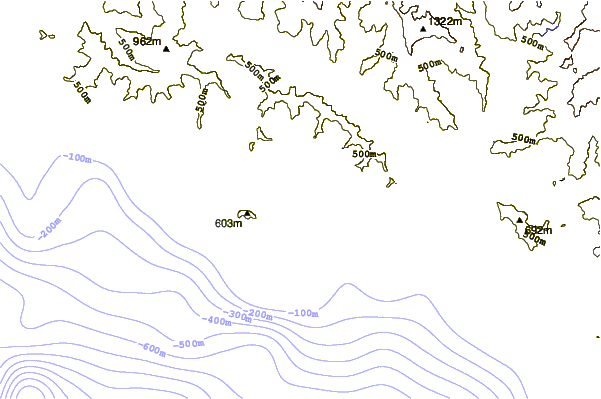
| Contours: | Roads & Rivers: | Select a
tide station / surf break / city |
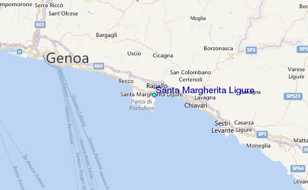
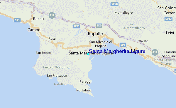
Use this relief map to navigate to tide stations, surf breaks and cities that are in the area of Santa Margherita Ligure.
Other Nearby Locations' tide tables and tide charts to Santa Margherita Ligure:
click location name for more details
 Surf breaks close to Santa Margherita Ligure:
|
||
|---|---|---|
| Closest surf break | Carillon (Paraggi Beach) | 2 mi |
| Second closest surf break | Recco | 4 mi |
| Third closest surf break | Chiavari Entella | 6 mi |
| Fourth closest surf break | Sori Point | 6 mi |
| Fifth closest surf break | Bogliasco | 8 mi |


 Nearest
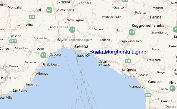