
| Distance / Altitude | Location | Report Date / Time | Live Weather | Wind | Gusts | Temp. | Visibility | Cloud |
|---|---|---|---|---|---|---|---|---|
| 13 km S / 4 m | Gaira wx (Colombia) | 2026-04-03 20:46 local (2026/04/04 01:46 GMT) | dry | wind obs. (16 kph from 116 degs) was rejected (- km/h at -) | 29°C | - | - - 0 | |
| 20 km S / 96 m | Santa Marta/Simón Bolívar International Airport (Columbia) | 2026-04-03 19:00 local (2026/04/04 00:00 GMT) | - | light winds from the NNE.(Wind varies from 350 to 080 degs) (19 km/h at 30) | 30°C | 10.0 | few | |
| 76 km SSW / 206 m | Barranquilla/Ernesto Cortissoz International Airport (Columbia) | 2026-04-03 19:00 local (2026/04/04 00:00 GMT) | - | moderate winds from the NNE (20 km/h at 30) | — | 0.0 | ||
| 142 km E / 78 m | Riohacha/Almirante Padilla Airport (Columbia) | 2026-04-03 19:00 local (2026/04/04 00:00 GMT) | - | light winds from the NE.(Wind varies from 010 to 080 degs) (19 km/h at 50) | 28°C | 10.0 | few | |
| 143 km SE / 95 m | Valledupar/Aeropuerto Alfonso López Pumarejo Airport (Columbia) | 2026-04-03 19:00 local (2026/04/04 00:00 GMT) | Dry and partly cloudy | moderate winds from the NE (20 km/h at 40) | 32°C | 10.0 | broken | |
| 149 km WNW / 3 m | SHIP3516 (Marine) | 2026-04-03 19:00 local (2026/04/04 00:00 GMT) | strong winds from the NE (42 km/h at 50) | 27°C | 20.4 | |||
| 149 km WNW / 3 m | SHIP5626 (Marine) | 2026-04-03 19:00 local (2026/04/04 00:00 GMT) | strong winds from the NE (42 km/h at 50) | 27°C | 20.4 | |||
| 149 km WNW / 15 m | SHIP3447 (Marine) | 2026-04-03 19:00 local (2026/04/04 00:00 GMT) | strong winds from the NE (42.480000000000004 km/h at 50) | 28°C | 17.7 km | |||
| 149 km WNW / 3 m | SHIP1389 (Marine) | 2026-04-03 19:00 local (2026/04/04 00:00 GMT) | strong winds from the NE (42 km/h at 50) | 27°C | 20.4 | |||
| 149 km WNW / 3 m | SHIP1970 (Marine) | 2026-04-03 19:00 local (2026/04/04 00:00 GMT) | strong winds from the NE (42 km/h at 50) | 27°C | 20.4 |
| Contours: | Roads & Rivers: | Select a
tide station / surf break / city |
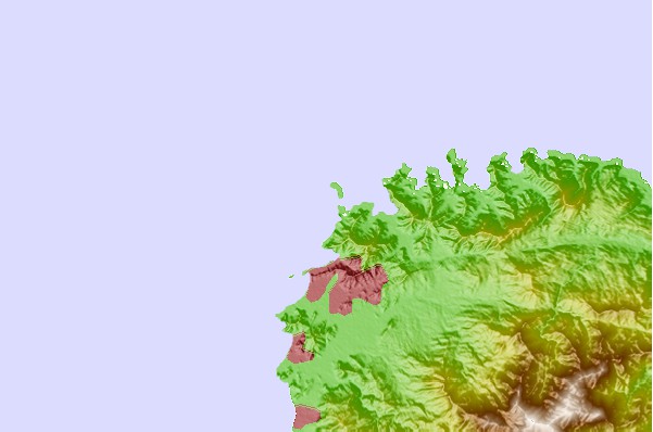
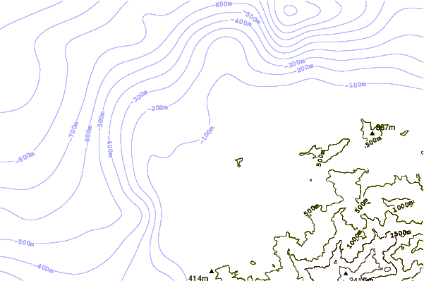
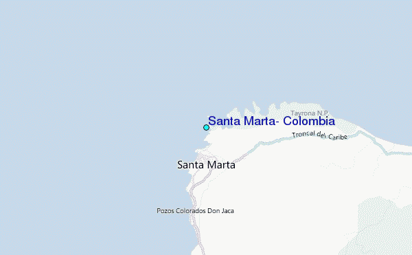
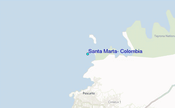
Use this relief map to navigate to tide stations, surf breaks and cities that are in the area of Santa Marta, Colombia.
Other Nearby Locations' tide tables and tide charts to Santa Marta, Colombia:
click location name for more details
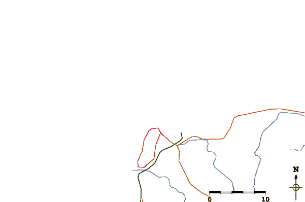
 Surf breaks close to Santa Marta, Colombia:
|
||
|---|---|---|
| Closest surf break | Parque Tayrona | 4 mi |
| Second closest surf break | Siete Olas | 7 mi |
| Third closest surf break | La Caracola | 16 mi |
| Fourth closest surf break | Arrecifes | 17 mi |
| Fifth closest surf break | Cañaveral | 21 mi |


 Nearest
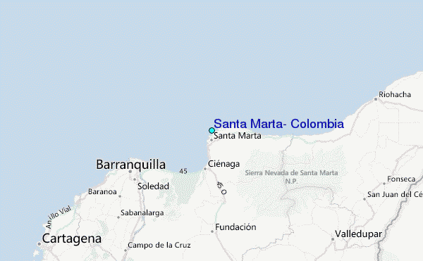