
| Distance / Altitude | Location | Report Date / Time | Live Weather | Wind | Gusts | Temp. | Visibility | Cloud |
|---|---|---|---|---|---|---|---|---|
| 0 km N / 3 m | BUOY-ICAC1 (Marine) | 2026-04-04 15:48 local (2026/04/04 22:48 GMT) | light winds from the WNW (18 km/h at 290) | — | - | |||
| 5 km ENE / 218 m | Santa Monica Airport (California) | 2026-04-04 14:51 local (2026/04/04 21:51 GMT) | Clear | light winds from the SW (19 km/h at 220) | 27°C | 16 | ||
| 6 km E / 35 m | Mar Vista wx (United States) | 2026-04-04 16:03 local (2026/04/04 23:03 GMT) | dry | calm (5 km/h at 225) | 28°C | - | - - 0 | |
| 6 km NNE / 119 m | Brentwood wx (United States) | 2026-04-04 15:23 local (2026/04/04 22:23 GMT) | dry | light winds from the SW (10 km/h at 224) | 27°C | - | - - 0 | |
| 8 km WSW / 3 m | BUOY-46268 (Marine) | 2026-04-04 15:30 local (2026/04/04 22:30 GMT) | - (- km/h at -) | — | - | |||
| 9 km NE / 122 m | Westwood Village wx (United States) | 2026-04-04 15:48 local (2026/04/04 22:48 GMT) | dry | light winds from the WSW (13 km/h at 239) | 27°C | - | - - 0 | |
| 9 km NE / 78 m | Century City wx (United States) | 2026-04-04 16:16 local (2026/04/04 23:16 GMT) | dry | calm (0 km/h at 181) | 29°C | - | - - 0 | |
| 11 km NNE / 258 m | Beverly Glen wx (United States) | 2026-04-04 16:05 local (2026/04/04 23:05 GMT) | dry | calm (0 km/h at 61) | — | - | - - 0 | |
| 11 km ESE / 44 m | Westchester wx (United States) | 2026-04-04 15:16 local (2026/04/04 22:16 GMT) | dry | wind obs. (11 kph from 254 degs) was rejected (- km/h at -) | 24°C | - | - - 0 | |
| 14 km SE / 216 m | Los Angeles Airport (California) | 2026-04-04 14:53 local (2026/04/04 21:53 GMT) | Dry and partly cloudy | moderate winds from the WSW (24 km/h at 240) | 26°C | 16 | few scattered |
| Contours: | Roads & Rivers: | Select a
tide station / surf break / city |
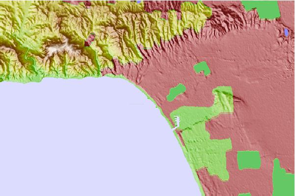

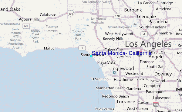
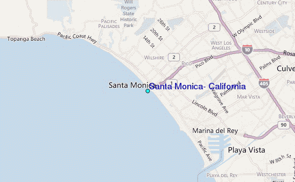
Use this relief map to navigate to tide stations, surf breaks and cities that are in the area of Santa Monica, California.
Other Nearby Locations' tide tables and tide charts to Santa Monica, California:
click location name for more details
 Surf breaks close to Santa Monica, California:
|
||
|---|---|---|
| Closest surf break | Santa Monica Pier | 0 mi |
| Second closest surf break | Bay Street | 1 mi |
| Third closest surf break | Santa Monica Samo 20 | 1 mi |
| Fourth closest surf break | Santa Monica Ocean Park | 1 mi |
| Fifth closest surf break | Rose Avenue | 1 mi |


 Nearest
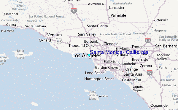