
| Distance / Altitude | Location | Report Date / Time | Live Weather | Wind | Gusts | Temp. | Visibility | Cloud |
|---|---|---|---|---|---|---|---|---|
| 30 km SW / 474 m | Campos-dos-Goitacazes/Bartolomeu Lisandro Airport (Brazil) | 2026-04-03 15:00 local (2026/04/03 18:00 GMT) | Dry and partly cloudy | light winds from the E (19 km/h at 90) | 29°C | 10.0 | few broken | |
| 32 km SW / 26 m | Campos (Brazil) | 2026-04-03 15:00 local (2026/04/03 18:00 GMT) | no report | calm (4 km/h at 350) | 20°C | - | - - - | |
| 43 km S / 3 m | Campos dos Goitacazes Airport (Brazil) | 2026-04-03 15:00 local (2026/04/03 18:00 GMT) | - | moderate winds from the NNE (22 km/h at 30) | — | 0.0 | ||
| 87 km S / 3 m | SHIP1860 (Marine) | 2026-04-03 14:00 local (2026/04/03 17:00 GMT) | strong winds from the NE (46 km/h at 50) | 28°C | - | |||
| 106 km SSW / 2 m | Macaé Aeroporto (Brazil) | 2026-04-03 15:00 local (2026/04/03 18:00 GMT) | - | calm (4 km/h at 30) | — | 20 | - - - | |
| 86 km S / 15 m | SHIP2257 (Marine) | 2026-04-03 14:00 local (2026/04/03 17:00 GMT) | strong winds from the NE (46.440000000000005 km/h at 50) | 23°C | - km | |||
| 86 km S / 3 m | SHIP5227 (Marine) | 2026-04-03 14:00 local (2026/04/03 17:00 GMT) | strong winds from the NE (46 km/h at 50) | 28°C | - | |||
| 86 km S / 3 m | SHIP6953 (Marine) | 2026-04-03 14:00 local (2026/04/03 17:00 GMT) | strong winds from the NE (46 km/h at 50) | 28°C | - | |||
| 86 km S / 15 m | SHIP5731 (Marine) | 2026-04-03 14:00 local (2026/04/03 17:00 GMT) | strong winds from the NE (46.440000000000005 km/h at 50) | 23°C | - km | |||
| 86 km S / 3 m | SHIP1187 (Marine) | 2026-04-03 14:00 local (2026/04/03 17:00 GMT) | strong winds from the NE (46 km/h at 50) | 28°C | - |
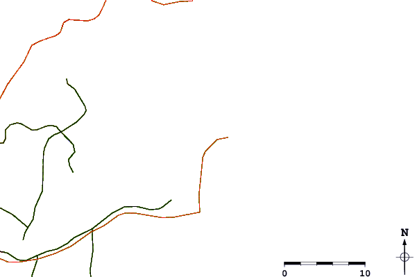
| Contours: | Roads & Rivers: | Select a
tide station / surf break / city |
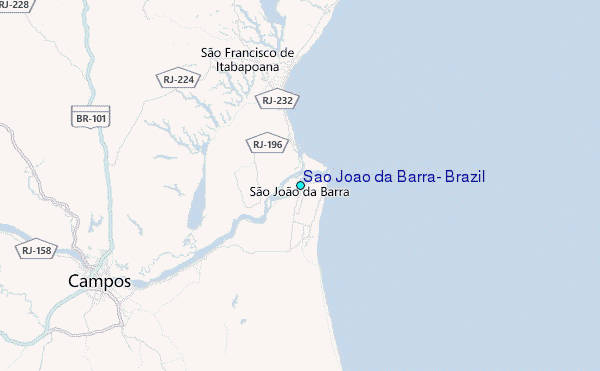
Use this relief map to navigate to tide stations, surf breaks and cities that are in the area of São João da Barra, Brazil.
Other Nearby Locations' tide tables and tide charts to Sao Joao da Barra, Brazil:
click location name for more details
 Surf breaks close to Sao Joao da Barra, Brazil:
|
||
|---|---|---|
| Closest surf break | Marataizes | 45 mi |
| Second closest surf break | Ponta dos Castelhanos | 68 mi |
| Third closest surf break | Ponta do Ubu | 70 mi |
| Fourth closest surf break | Maimba | 73 mi |
| Fifth closest surf break | Praia do Morro | 85 mi |


 Nearest
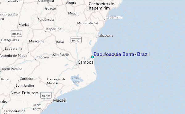