
| Distance / Altitude | Location | Report Date / Time | Live Weather | Wind | Gusts | Temp. | Visibility | Cloud |
|---|---|---|---|---|---|---|---|---|
| 2 km N / 34 m | Merrimac Terrace wx (United States) | 2026-04-15 20:14 local (2026/04/16 00:14 GMT) | dry | calm (0 km/h at 80) | 9°C | - | - - 0 | |
| 4 km SSW / 16 m | Malden (Massachusetts) | 2026-04-15 20:36 local (2026/04/16 00:36 GMT) | - | calm (0 km/h at 88) | 10°C | - | - - 0 | |
| 4 km E / 12 m | Raddin Station wx (United States) | 2026-04-15 20:45 local (2026/04/16 00:45 GMT) | dry | light winds from the E (8 km/h at 81) | 9°C | - | - - 0 | |
| 7 km S / 122 m | Chelsea (Massachusetts) | 2026-04-15 19:57 local (2026/04/15 23:57 GMT) | dry | calm (0 km/h at 99) | 9°C | - | - - 0 | |
| 7 km SW / 8 m | Malden (Massachusetts) | 2026-04-15 20:35 local (2026/04/16 00:35 GMT) | dry | calm (0 km/h at 0) | 10°C | - | - - 0 | |
| 8 km E / 25 m | Swampscott (Massachusetts) | 2026-04-15 20:27 local (2026/04/16 00:27 GMT) | dry | light winds from the NE (6 km/h at 46) | 9°C | - | - - 0 | |
| 9 km NNE / 26 m | West Peabody wx (United States) | 2026-04-15 20:45 local (2026/04/16 00:45 GMT) | dry | calm (2 km/h at 63) | 11°C | - | - - 0 | |
| 10 km WSW / 52 m | Winchester (Massachusetts) | 2026-04-15 20:43 local (2026/04/16 00:43 GMT) | dry | calm (0 km/h at 120) | 10°C | - | - - 0 | |
| 10 km SSE / 10 m | Winthrop (Massachusetts) | 2026-04-15 20:02 local (2026/04/16 00:02 GMT) | dry | calm (3 km/h at 71) | 8°C | - | - - 0 | |
| 11 km WNW / 25 m | Reading (Massachusetts) | 2026-04-15 20:45 local (2026/04/16 00:45 GMT) | dry | calm (2 km/h at 93) | 12°C | - | - - 0 |
| Contours: | Roads & Rivers: | Select a
tide station / surf break / city |
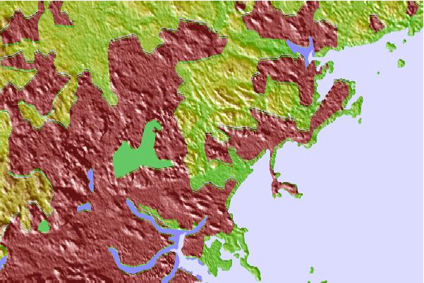
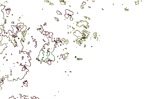
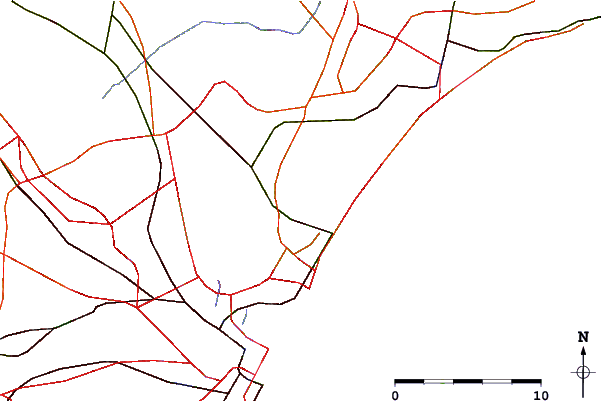
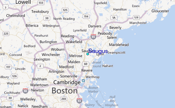
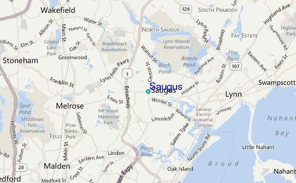
Use this relief map to navigate to tide stations, surf breaks and cities that are in the area of Saugus.
Other Nearby Locations' tide tables and tide charts to Saugus:
click location name for more details
 Surf breaks close to Saugus:
|
||
|---|---|---|
| Closest surf break | Lynne Beach | 5 mi |
| Second closest surf break | Nahant Beach | 6 mi |
| Third closest surf break | Winthrop Jetty | 9 mi |
| Fourth closest surf break | Prestons | 9 mi |
| Fifth closest surf break | Deveraux Beach | 12 mi |


 Nearest
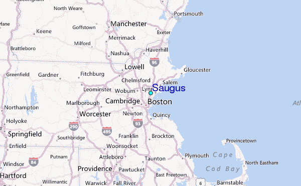