
| Distance / Altitude | Location | Report Date / Time | Live Weather | Wind | Gusts | Temp. | Visibility | Cloud |
|---|---|---|---|---|---|---|---|---|
| 17 km ESE / 3 m | BUOY-BMTW1 (Marine) | 2026-03-23 18:00 local (2026/03/24 01:00 GMT) | light winds from the SW (9 km/h at 230) | 9°C | - | |||
| 29 km E / 3 m | BUOY-WPOW1 (Marine) | 2026-03-23 18:00 local (2026/03/24 01:00 GMT) | light winds from the N (15 km/h at 10) | 9°C | - | |||
| 32 km S / 3 m | BUOY-46123 (Marine) | 2026-03-23 17:30 local (2026/03/24 00:30 GMT) | light winds from the SSW (7 km/h at 200) | 9°C | - | |||
| 33 km NNE / 3 m | BUOY-46125 (Marine) | 2026-03-23 16:50 local (2026/03/23 23:50 GMT) | light winds from the NNW (11 km/h at 340) | 9°C | - | |||
| 34 km E / 100 m | Seattle (Washington) | 2026-03-23 16:11 local (2026/03/23 23:11 GMT) | - | wind obs. (18 kph from 244 degs) was rejected (- km/h at -) | 21°C | - | - - 0 | |
| 35 km ENE / 3 m | BUOY-46120 (Marine) | 2026-03-23 16:50 local (2026/03/23 23:50 GMT) | light winds from the NW (18 km/h at 320) | 9°C | - | |||
| 40 km E / 15 m | SHIP5968 (Marine) | 2026-03-23 17:00 local (2026/03/24 00:00 GMT) | - (- km/h at -) | — | - km | |||
| 40 km E / 15 m | SHIP3935 (Marine) | 2026-03-23 18:00 local (2026/03/24 01:00 GMT) | - (- km/h at -) | — | - km | |||
| 40 km E / 3 m | SHIP9164 (Marine) | 2026-03-23 17:00 local (2026/03/24 00:00 GMT) | - (- km/h at -) | — | - | |||
| 40 km E / 15 m | SHIP7619 (Marine) | 2026-03-23 16:00 local (2026/03/23 23:00 GMT) | - (- km/h at -) | — | - km |
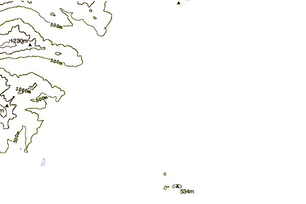
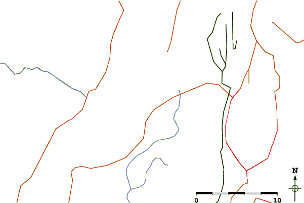
| Contours: | Roads & Rivers: | Select a
tide station / surf break / city |
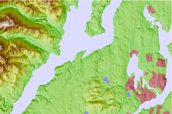
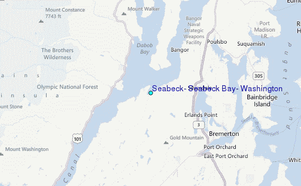
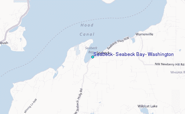
Use this relief map to navigate to tide stations, surf breaks and cities that are in the area of Seabeck, Seabeck Bay, Washington.
Other Nearby Locations' tide tables and tide charts to Seabeck, Seabeck Bay, Washington:
click location name for more details
 Surf breaks close to Seabeck, Seabeck Bay, Washington:
|
||
|---|---|---|
| Closest surf break | Super green | 39 mi |
| Second closest surf break | Fort. Ebey | 40 mi |
| Third closest surf break | Elwha | 49 mi |
| Fourth closest surf break | Crescent | 55 mi |
| Fifth closest surf break | Whiskey Creek | 57 mi |


 Nearest
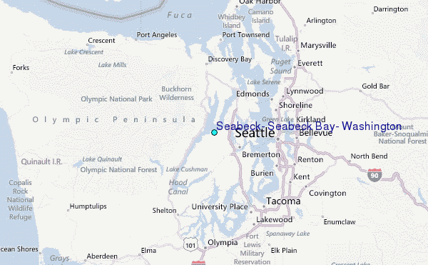