
| Distance / Altitude | Location | Report Date / Time | Live Weather | Wind | Gusts | Temp. | Visibility | Cloud |
|---|---|---|---|---|---|---|---|---|
| 17 km N / 218 m | Astoria Airport (Oregon) | 2026-07-21 19:55 local (2026/07/22 02:55 GMT) | Clear | light winds from the SW (9 km/h at 230) | 18°C | 16 | ||
| 26 km NNE / 3 m | BUOY-ASTO3 (Marine) | 2026-07-21 20:48 local (2026/07/22 03:48 GMT) | light winds from the WNW (9 km/h at 300) | 20°C | - | |||
| 29 km NW / 3 m | Clatsop Spit- OR (Marine) | 2026-07-21 21:00 local (2026/07/22 04:00 GMT) | - (- km/h at -) | 15°C | - | |||
| 49 km W / 3 m | Col River Bar Buoy (Marine) | 2026-07-21 20:50 local (2026/07/22 03:50 GMT) | light winds from the N (18 km/h at 350) | 15°C | - | |||
| 49 km S / 3 m | BUOY-46278 (Marine) | 2026-07-21 21:00 local (2026/07/22 04:00 GMT) | - (- km/h at -) | 13°C | - | |||
| 58 km W / 3 m | Astoria Canyon- OR (Marine) | 2026-07-21 20:26 local (2026/07/22 03:26 GMT) | - (- km/h at -) | — | - | |||
| 65 km S / 11 m | Tillamook Municipal Airport (Oregon) | 2026-07-21 20:35 local (2026/07/22 03:35 GMT) | Dry and partly cloudy | light winds from the W (7 km/h at 260) | 15°C | 16 | broken | |
| 76 km E / 3 m | BUOY-LOPW1 (Marine) | 2026-07-21 20:48 local (2026/07/22 03:48 GMT) | - (- km/h at -) | — | - | |||
| 79 km N / 3 m | BUOY-TOKW1 (Marine) | 2026-07-21 20:48 local (2026/07/22 03:48 GMT) | light winds from the N (13 km/h at 360) | 21°C | - | |||
| 80 km E / 220 m | Kelso Longveiw Airport (Washington) | 2026-07-21 19:56 local (2026/07/22 02:56 GMT) | Clear | light winds from the NW (11 km/h at 320) | 30°C | 16 |
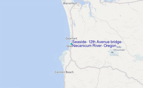
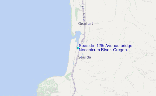
Choose Seaside, 12th Avenue bridge, Necanicum River, Oregon Location Map Zoom:
| Contours: | Roads & Rivers: | Select a
tide station / surf break / city |
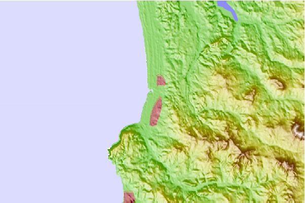
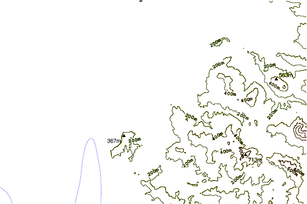
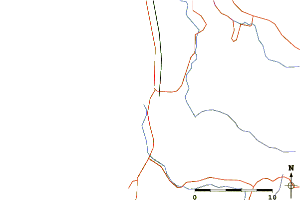
Use this relief map to navigate to tide stations, surf breaks and cities that are in the area of Seaside, 12th Avenue bridge, Necanicum River, Oregon.
Other Nearby Locations' tide tables and tide charts to Seaside, 12th Avenue bridge, Necanicum River, Oregon:
click location name for more details
 Surf breaks close to Seaside, 12th Avenue bridge, Necanicum River, Oregon:
|
||
|---|---|---|
| Closest surf break | Seaside Cove | 2 mi |
| Second closest surf break | Seaside Point | 4 mi |
| Third closest surf break | Indian Head | 5 mi |
| Fourth closest surf break | Indian Beach/Ecola State Park | 6 mi |
| Fifth closest surf break | Cannon Beach/Tolovana Beach | 8 mi |


 Nearest
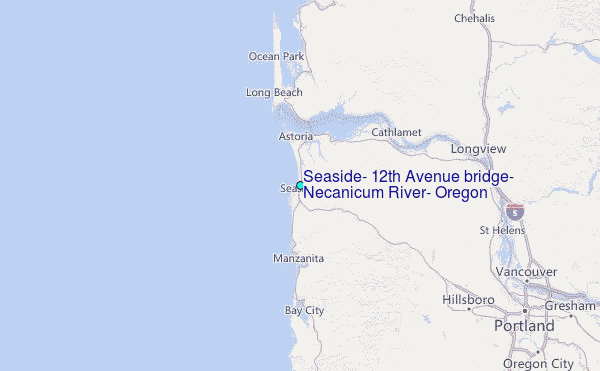