
| Distance / Altitude | Location | Report Date / Time | Live Weather | Wind | Gusts | Temp. | Visibility | Cloud |
|---|---|---|---|---|---|---|---|---|
| 27 km NE / 15 m | SHIP8974 (Marine) | 2026-05-06 04:00 local (2026/05/06 12:00 GMT) | light winds from the E (12.96 km/h at 90) | — | - km | |||
| 28 km ENE / 215 m | Kake Airport (Alaska) | 2026-05-06 04:56 local (2026/05/06 12:56 GMT) | Dry and cloudy | wind obs. (7 kph from 70 degs) was rejected (- km/h at -) | 5°C | 16 | overcast | |
| 64 km NE / 3 m | BUOY-FFIA2 (Marine) | 2026-05-06 06:00 local (2026/05/06 14:00 GMT) | light winds from the SSW (11 km/h at 200) | 7°C | - | |||
| 64 km W / 3 m | BUOY-ITKA2 (Marine) | 2026-05-06 06:00 local (2026/05/06 14:00 GMT) | - (- km/h at -) | 6°C | - | |||
| 65 km W / 212 m | Sitka Airport (Alaska) | 2026-05-06 05:32 local (2026/05/06 13:32 GMT) | Light rain | wind obs. (15 kph from 100 degs) was rejected (- km/h at -) | 7°C | 5 | few broken | |
| 27 km NE / 15 m | SHIP3744 (Marine) | 2026-05-06 06:00 local (2026/05/06 14:00 GMT) | light winds from the ESE (9.360000000000001 km/h at 110) | — | - km | |||
| 28 km ENE / 215 m | Kake Airport (Alaska) | 2026-05-06 04:56 local (2026/05/06 12:56 GMT) | Dry and cloudy | wind obs. (7 kph from 70 degs) was rejected (- km/h at -) | 5°C | 16 | overcast | |
| 32 km ENE / 3 m | SHIP9425 (Marine) | 2026-05-06 05:00 local (2026/05/06 13:00 GMT) | calm (5 km/h at 110) | 10°C | - | |||
| 32 km ENE / 15 m | SHIP8223 (Marine) | 2026-05-06 05:00 local (2026/05/06 13:00 GMT) | calm (5.4 km/h at 110) | — | - km | |||
| 32 km ENE / 15 m | SHIP3938 (Marine) | 2026-05-06 05:00 local (2026/05/06 13:00 GMT) | calm (5.4 km/h at 110) | — | - km |
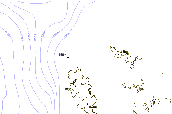
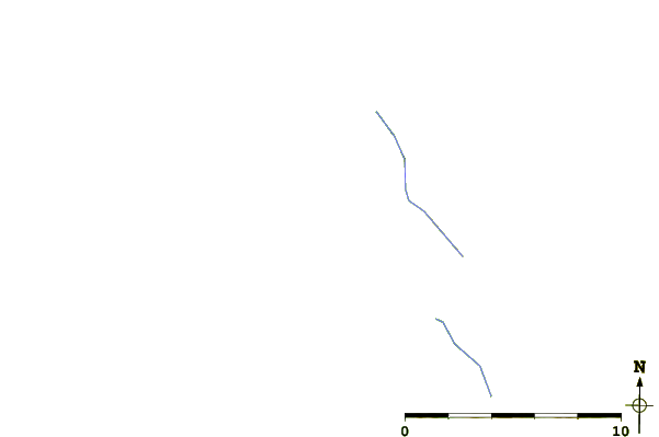
| Contours: | Roads & Rivers: | Select a
tide station / surf break / city |
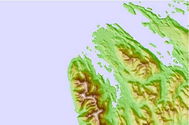
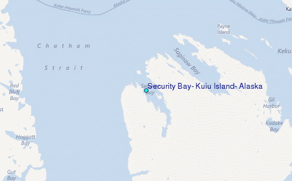
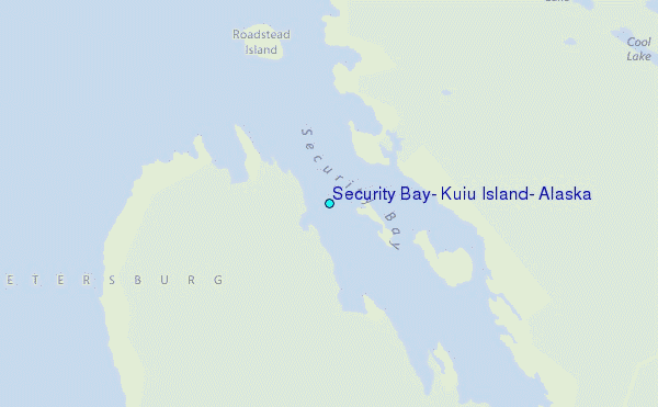
Use this relief map to navigate to tide stations, surf breaks and cities that are in the area of Security Bay, Kuiu Island, Alaska.
Other Nearby Locations' tide tables and tide charts to Security Bay, Kuiu Island, Alaska:
click location name for more details
 Surf breaks close to Security Bay, Kuiu Island, Alaska:
|
||
|---|---|---|
| Closest surf break | Lepus Beach (Haida-Gwaii) | 193 mi |
| Second closest surf break | Tow Hill Beach | 216 mi |
| Third closest surf break | Cannon Beach | 269 mi |
| Fourth closest surf break | Graveyards | 273 mi |
| Fifth closest surf break | Ocean Cape | 274 mi |


 Nearest
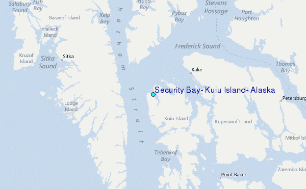