
| Distance / Altitude | Location | Report Date / Time | Live Weather | Wind | Gusts | Temp. | Visibility | Cloud |
|---|---|---|---|---|---|---|---|---|
| 45 km SSE / - m | SHIP980 (ocean) | 2026-04-03 18:00 local (2026/04/04 02:00 GMT) | - | light winds from the S (18 km/h at 180) | 8°C | - | no observation | |
| 50 km N / 215 m | Hydaburg Airport (Alaska) | 2026-04-03 17:05 local (2026/04/04 01:05 GMT) | Dry and cloudy | moderate winds from the E (20 km/h at 100) | 6°C | 0.0 | overcast | |
| 51 km SSE / 3 m | Central Dixon Entrance Buoy (Marine) | 2026-04-03 18:00 local (2026/04/04 02:00 GMT) | light winds from the S (18 km/h at 180) | 8°C | - | |||
| 57 km S / 49 m | Langara Island Rcs- BC (Canada) | 2026-04-03 17:00 local (2026/04/04 01:00 GMT) | no report | light winds from the SW (14 km/h at 220) | 9°C | - | - - - | |
| 57 km S / 205 m | Langara Airport (British Columbia) | 2026-04-03 17:00 local (2026/04/04 01:00 GMT) | - | light winds from the SSW (13 km/h at 200) | 8°C | 0.0 | ||
| 57 km S / 205 m | Langara Airport (British Columbia) | 2026-04-03 17:00 local (2026/04/04 01:00 GMT) | - | light winds from the SSW (13 km/h at 200) | 8°C | 0.0 | ||
| 82 km NW / 3 m | BUOY-CRGA2 (Marine) | 2026-04-03 17:24 local (2026/04/04 01:24 GMT) | light winds from the SSE (13 km/h at 150) | 6°C | - | |||
| 83 km ENE / 15 m | SHIP5876 (Marine) | 2026-04-03 16:00 local (2026/04/04 00:00 GMT) | fresh winds from the SSE (33.480000000000004 km/h at 160) | 6°C | - km | |||
| 87 km ENE / 1 m | Annette wx (United States) | 2026-04-03 18:12 local (2026/04/04 02:12 GMT) | dry | light winds from the SSE (11 km/h at 159) | 6°C | - | - - 0 | |
| 89 km ENE / - m | SHIP26 (ocean) | 2026-04-03 17:00 local (2026/04/04 01:00 GMT) | No report | fresh winds from the S (35 km/h at 190) | 7°C | - | no observation |
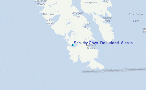
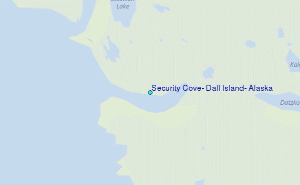
Choose Security Cove, Dall Island, Alaska Location Map Zoom:
| Contours: | Roads & Rivers: | Select a
tide station / surf break / city |
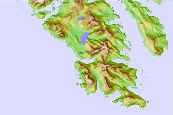
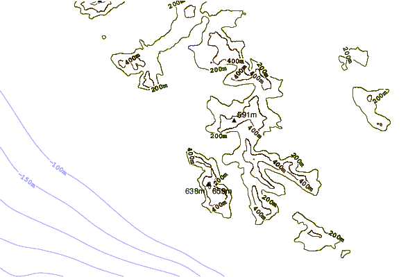
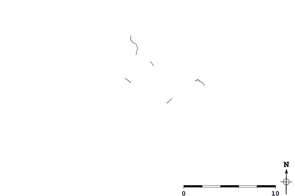
Use this relief map to navigate to tide stations, surf breaks and cities that are in the area of Security Cove, Dall Island, Alaska.
Other Nearby Locations' tide tables and tide charts to Security Cove, Dall Island, Alaska:
click location name for more details
 Surf breaks close to Security Cove, Dall Island, Alaska:
|
||
|---|---|---|
| Closest surf break | Lepus Beach (Haida-Gwaii) | 41 mi |
| Second closest surf break | Tow Hill Beach | 63 mi |
| Third closest surf break | Cannon Beach | 418 mi |
| Fourth closest surf break | Graveyards | 422 mi |
| Fifth closest surf break | Ocean Cape | 423 mi |


 Nearest
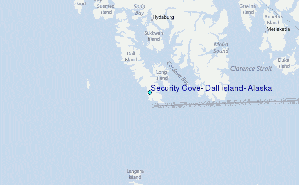