
| Distance / Altitude | Location | Report Date / Time | Live Weather | Wind | Gusts | Temp. | Visibility | Cloud |
|---|---|---|---|---|---|---|---|---|
| 44 km SW / 3 m | BUOY-CDXA2 (Marine) | 2026-06-30 11:02 local (2026/06/30 19:02 GMT) | fresh winds from the WNW (33 km/h at 300) | 9°C | - | |||
| 44 km SW / 3 m | BUOY-CDEA2 (Marine) | 2026-06-30 10:22 local (2026/06/30 18:22 GMT) | fresh winds from the W (32 km/h at 270) | 13°C | - | |||
| 49 km E / 3 m | BUOY-LCNA2 (Marine) | 2026-06-30 10:10 local (2026/06/30 18:10 GMT) | light winds from the WNW (18 km/h at 300) | 13°C | - | |||
| 66 km SSE / 206 m | Klawock Airport (Alaska) | 2026-06-30 09:53 local (2026/06/30 17:53 GMT) | Dry and cloudy | wind obs. (7 kph from 1 degs) was rejected (- km/h at -) | 16°C | 16 | overcast | |
| 75 km WSW / 3 m | BUOY-PLXA2 (Marine) | 2026-06-30 09:30 local (2026/06/30 17:30 GMT) | light winds from the SW (8 km/h at 220) | — | - | |||
| 76 km NNE / 46 m | Scow Bay wx (United States) | 2026-06-30 10:25 local (2026/06/30 18:25 GMT) | dry | calm (0 km/h at 337) | 14°C | - | - - 0 | |
| 77 km ENE / 3 m | BUOY-WGXA2 (Marine) | 2026-06-30 11:02 local (2026/06/30 19:02 GMT) | calm (4 km/h at 290) | 13°C | - | |||
| 77 km SSE / 3 m | BUOY-CRGA2 (Marine) | 2026-06-30 10:24 local (2026/06/30 18:24 GMT) | calm (2 km/h at 300) | 11°C | - | |||
| 78 km ENE / 215 m | Wrangell Airport (Alaska) | 2026-06-30 09:56 local (2026/06/30 17:56 GMT) | Dry and partly cloudy | light winds from the N (11 km/h at 1) | 13°C | 16 | few scattered broken | |
| 80 km NNE / 15 m | SHIP5605 (Marine) | 2026-06-30 10:00 local (2026/06/30 18:00 GMT) | light winds from the NNE (7.5600000000000005 km/h at 20) | — | - km |
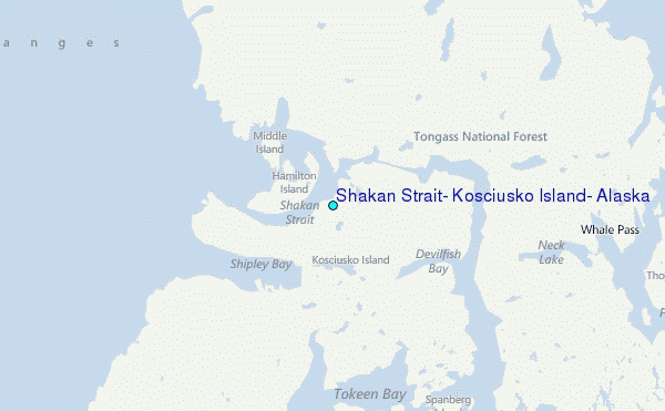
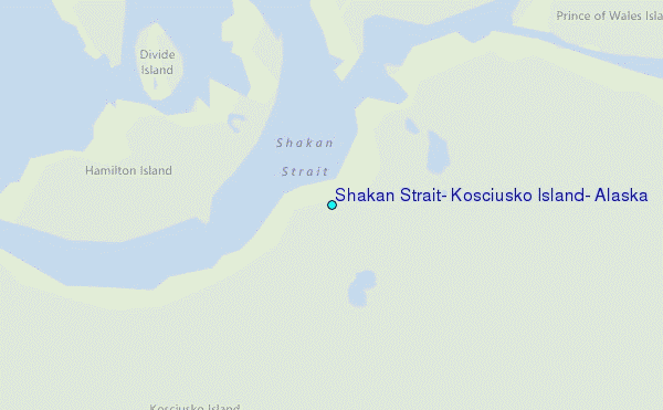
Choose Shakan Strait, Kosciusko Island, Alaska Location Map Zoom:
| Contours: | Roads & Rivers: | Select a
tide station / surf break / city |
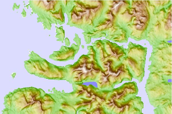
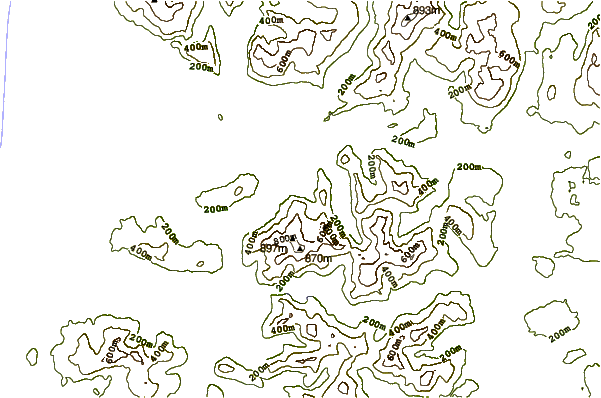

Use this relief map to navigate to tide stations, surf breaks and cities that are in the area of Shakan Strait, Kosciusko Island, Alaska.
Other Nearby Locations' tide tables and tide charts to Shakan Strait, Kosciusko Island, Alaska:
click location name for more details
 Surf breaks close to Shakan Strait, Kosciusko Island, Alaska:
|
||
|---|---|---|
| Closest surf break | Lepus Beach (Haida-Gwaii) | 137 mi |
| Second closest surf break | Tow Hill Beach | 157 mi |
| Third closest surf break | Cannon Beach | 328 mi |
| Fourth closest surf break | Graveyards | 332 mi |
| Fifth closest surf break | Ocean Cape | 333 mi |


 Nearest
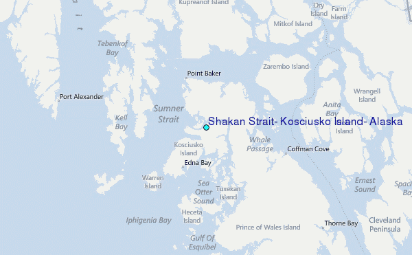