
| Distance / Altitude | Location | Report Date / Time | Live Weather | Wind | Gusts | Temp. | Visibility | Cloud |
|---|---|---|---|---|---|---|---|---|
| 1 km S / 10 m | Ft Walton Beach (Florida) | 2026-07-26 18:07 local (2026/07/26 23:07 GMT) | - | fresh winds from the WSW (31 km/h at 244) | 31°C | - | - - 0 | |
| 8 km SW / 215 m | Hurlburt Field Airport (Florida) | 2026-07-26 16:55 local (2026/07/26 21:55 GMT) | Clear | light winds from the SSW (19 km/h at 210) | 32°C | 16 | ||
| 8 km ENE / 217 m | Eglin Air Force Base/Valparaiso Airport (Florida) | 2026-07-26 17:37 local (2026/07/26 22:37 GMT) | Drizzle | light winds from the W (13 km/h at 260) | 33°C | 16 | few | |
| 11 km ESE / 8 m | Destin wx (United States) | 2026-07-26 17:26 local (2026/07/26 22:26 GMT) | dry | light winds from the SW (6 km/h at 224) | 31°C | - | - - 0 | |
| 12 km NE / 2 m | Valparaiso (Florida) | 2026-07-26 18:04 local (2026/07/26 23:04 GMT) | dry | light winds from the NW (6 km/h at 305) | 29°C | - | - - 0 | |
| 12 km ESE / 218 m | Destin Airport (Florida) | 2026-07-26 16:53 local (2026/07/26 21:53 GMT) | Dry and partly cloudy | light winds from the N (9 km/h at 1) | 30°C | 16 | few scattered | |
| 15 km NE / 21 m | Niceville wx (United States) | 2026-07-26 18:12 local (2026/07/26 23:12 GMT) | dry | calm (0 km/h at 307) | 31°C | - | - - 0 | |
| 16 km ENE / 18 m | Seminole wx (United States) | 2026-07-26 17:09 local (2026/07/26 22:09 GMT) | dry | calm (0 km/h at 259) | 31°C | - | - - 0 | |
| 21 km WSW / 4 m | Navarre (Florida) | 2026-07-26 17:15 local (2026/07/26 22:15 GMT) | dry | light winds from the WSW (6 km/h at 257) | 32°C | - | - - 0 | |
| 23 km NNE / 218 m | Duke Field/Eglin Airport (Florida) | 2026-07-26 16:55 local (2026/07/26 21:55 GMT) | - | light winds from the S (15 km/h at 190) | 34°C | 16 | few |
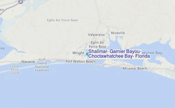
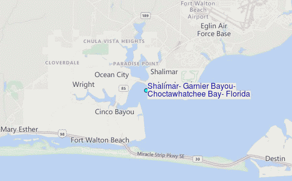
Choose Shalimar, Garnier Bayou, Choctawhatchee Bay, Florida Location Map Zoom:
| Contours: | Roads & Rivers: | Select a
tide station / surf break / city |
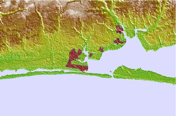
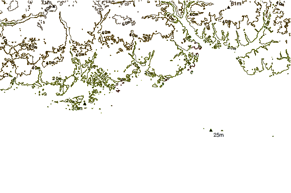
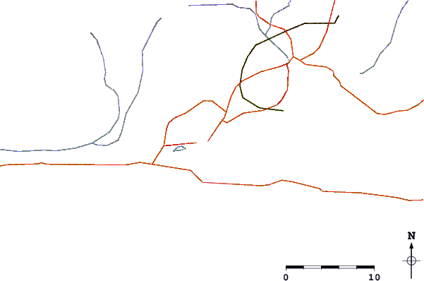
Use this relief map to navigate to tide stations, surf breaks and cities that are in the area of Shalimar, Garnier Bayou, Choctawhatchee Bay, Florida.
Other Nearby Locations' tide tables and tide charts to Shalimar, Garnier Bayou, Choctawhatchee Bay, Florida:
click location name for more details
 Surf breaks close to Shalimar, Garnier Bayou, Choctawhatchee Bay, Florida:
|
||
|---|---|---|
| Closest surf break | Fort Walton Pier | 3 mi |
| Second closest surf break | Okaloosa Pier | 3 mi |
| Third closest surf break | Fort Walton Beach | 6 mi |
| Fourth closest surf break | Destin | 9 mi |
| Fifth closest surf break | Pensacola beach | 11 mi |


 Nearest
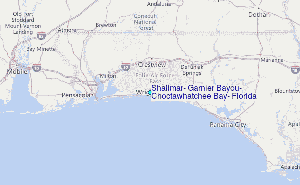