
| Distance / Altitude | Location | Report Date / Time | Live Weather | Wind | Gusts | Temp. | Visibility | Cloud |
|---|---|---|---|---|---|---|---|---|
| 3 km E / 3 m | BUOY-SREF1 (Marine) | 2026-06-13 07:00 local (2026/06/13 11:00 GMT) | - (- km/h at -) | — | - | |||
| 11 km NE / 3 m | BUOY-HREF1 (Marine) | 2026-06-13 07:00 local (2026/06/13 11:00 GMT) | - (- km/h at -) | — | - | |||
| 11 km ENE / 3 m | BUOY-GBIF1 (Marine) | 2026-06-13 07:00 local (2026/06/13 11:00 GMT) | - (- km/h at -) | — | - | |||
| 19 km ENE / 3 m | BUOY-TPEF1 (Marine) | 2026-06-13 07:00 local (2026/06/13 11:00 GMT) | - (- km/h at -) | — | - | |||
| 20 km NE / 3 m | BUOY-BDVF1 (Marine) | 2026-06-13 07:00 local (2026/06/13 11:00 GMT) | - (- km/h at -) | — | - | |||
| 21 km ENE / 3 m | BUOY-CANF1 (Marine) | 2026-06-13 07:00 local (2026/06/13 11:00 GMT) | - (- km/h at -) | — | - | |||
| 23 km E / 3 m | BUOY-NRRF1 (Marine) | 2026-06-13 07:00 local (2026/06/13 11:00 GMT) | - (- km/h at -) | — | - | |||
| 24 km N / 3 m | BUOY-LMRF1 (Marine) | 2026-06-13 07:00 local (2026/06/13 11:00 GMT) | - (- km/h at -) | — | - | |||
| 26 km ESE / 3 m | BUOY-LRIF1 (Marine) | 2026-06-13 07:00 local (2026/06/13 11:00 GMT) | - (- km/h at -) | — | - | |||
| 28 km NNE / 3 m | BUOY-WIWF1 (Marine) | 2026-06-13 07:00 local (2026/06/13 11:00 GMT) | - (- km/h at -) | — | - |
| Contours: | Roads & Rivers: | Select a
tide station / surf break / city |
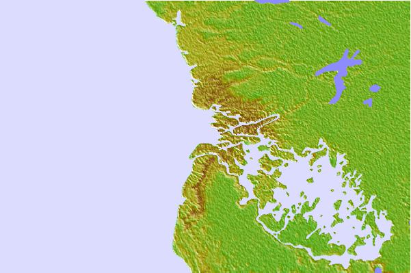
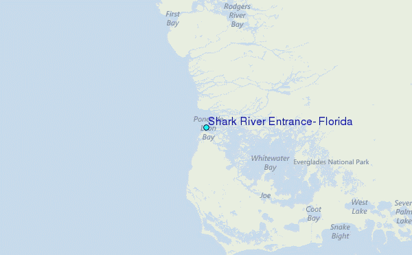
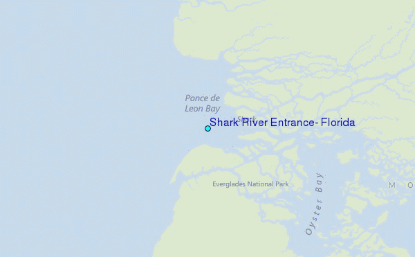
Use this relief map to navigate to tide stations, surf breaks and cities that are in the area of Shark River Entrance, Florida.
Other Nearby Locations' tide tables and tide charts to Shark River Entrance, Florida:
click location name for more details
 Surf breaks close to Shark River Entrance, Florida:
|
||
|---|---|---|
| Closest surf break | Naples Pier | 65 mi |
| Second closest surf break | Fifth Street (Miami) | 69 mi |
| Third closest surf break | South Beach (Miami) | 69 mi |
| Fourth closest surf break | 21st Street (Miami) | 70 mi |
| Fifth closest surf break | Dunes Hotel (Miami) | 71 mi |


 Nearest
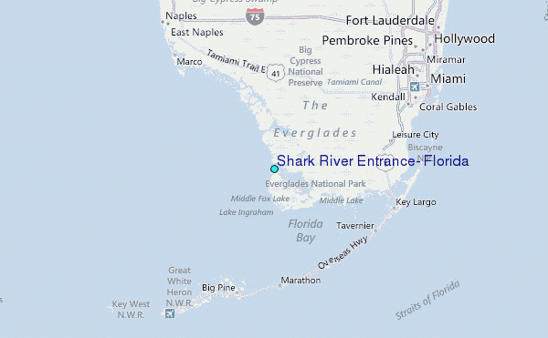