
| Distance / Altitude | Location | Report Date / Time | Live Weather | Wind | Gusts | Temp. | Visibility | Cloud |
|---|---|---|---|---|---|---|---|---|
| 7 km SW / 219 m | Belmar/Farmdale Airport (New Jersey) | 2026-05-24 11:56 local (2026/05/24 15:56 GMT) | Light rain | light winds from the E (15 km/h at 80) | 13°C | 11 | overcast | |
| 28 km NW / 11 m | Hazlet (New Jersey) | 2026-05-24 13:15 local (2026/05/24 17:15 GMT) | - | - (- km/h at ) | 23°C | - | - - 0 | |
| 31 km N / 3 m | BUOY-SDHN4 (Marine) | 2026-05-24 13:00 local (2026/05/24 17:00 GMT) | light winds from the ENE (17 km/h at 70) | 13°C | - | |||
| 32 km S / 4 m | Seaside Park- NJ (United States) | 2026-05-24 13:00 local (2026/05/24 17:00 GMT) | - | moderate winds from the NNE (20 km/h at 14) | 14°C | - | - - 0 | |
| 35 km NE / 3 m | New York Harbour Buoy (Marine) | 2026-05-24 13:30 local (2026/05/24 17:30 GMT) | light winds from the ENE (18 km/h at 60) | 13°C | - | |||
| 36 km SSW / 25 m | Toms River (New jersey) | 2026-05-24 11:56 local (2026/05/24 15:56 GMT) | Light rain | light winds from the ENE.(Wind varies from 003 to 008 degs) (11 km/h at 70) | 13°C | 5 | overcast | |
| 37 km NE / - m | SHIP373 (ocean) | 2026-05-24 12:00 local (2026/05/24 16:00 GMT) | - | moderate winds from the ENE (22 km/h at 70) | 13°C | - | no observation | |
| 37 km NE / - m | SHIP205 (ocean) | 2026-05-24 13:00 local (2026/05/24 17:00 GMT) | - | light winds from the ENE (11 km/h at 60) | 13°C | - | no observation | |
| 37 km NE / - m | SHIP354 (ocean) | 2026-05-24 13:00 local (2026/05/24 17:00 GMT) | - | light winds from the ENE (11 km/h at 60) | 13°C | - | no observation | |
| 37 km NE / - m | SHIP1240 (ocean) | 2026-05-24 13:00 local (2026/05/24 17:00 GMT) | - | light winds from the ENE (11 km/h at 60) | 13°C | - | no observation |
| Contours: | Roads & Rivers: | Select a
tide station / surf break / city |
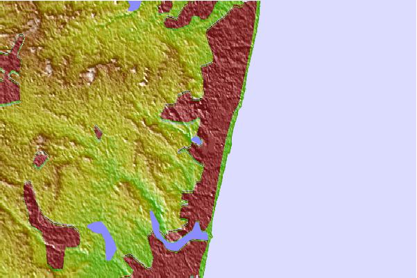
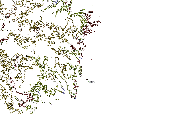
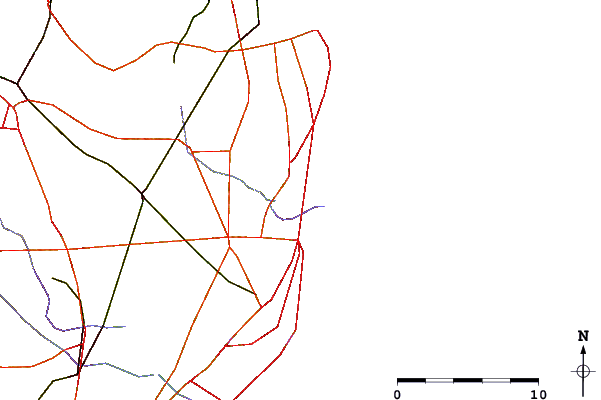
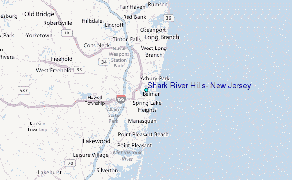
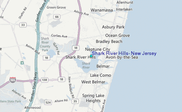
Use this relief map to navigate to tide stations, surf breaks and cities that are in the area of Shark River Hills, New Jersey.
Other Nearby Locations' tide tables and tide charts to Shark River Hills, New Jersey:
click location name for more details
 Surf breaks close to Shark River Hills, New Jersey:
|
||
|---|---|---|
| Closest surf break | Belmar Fishing Pier | 2 mi |
| Second closest surf break | L Jetty | 2 mi |
| Third closest surf break | Belmar | 2 mi |
| Fourth closest surf break | Asbury Park | 3 mi |
| Fifth closest surf break | Bradley Beach | 3 mi |


 Nearest
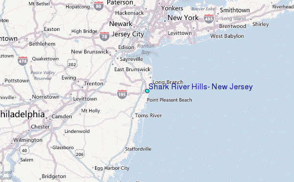