
| Distance / Altitude | Location | Report Date / Time | Live Weather | Wind | Gusts | Temp. | Visibility | Cloud |
|---|---|---|---|---|---|---|---|---|
| 5 km W / 3 m | BUOY-BISM2 (Marine) | 2026-05-05 09:30 local (2026/05/05 13:30 GMT) | moderate winds from the S (21 km/h at 190) | 18°C | - | |||
| 35 km SSW / - m | SHIP465 (ocean) | 2026-05-05 09:00 local (2026/05/05 13:00 GMT) | - | light winds from the SW (14 km/h at 230) | 19°C | - | no observation | |
| 36 km SW / 3 m | Potomac Buoy (Marine) | 2026-05-05 09:54 local (2026/05/05 13:54 GMT) | light winds from the SW (14 km/h at 220) | 19°C | - | |||
| 37 km N / 6 m | Cambridge-Dorchester Regional Airport (Maryland) (Maryland) | 2026-05-05 09:35 local (2026/05/05 13:35 GMT) | Clear | moderate winds from the SSW.(Wind varies from 160 to 230 degs) (20 km/h at 200) | 20°C | 16 | ||
| 37 km W / 218 m | Patuxent River Airport (Maryland) | 2026-05-05 09:52 local (2026/05/05 13:52 GMT) | - | fresh winds from the SSW (30 km/h at 210) | 22°C | 16 | few | |
| 35 km SSW / - m | SHIP935 (ocean) | 2026-05-05 10:00 local (2026/05/05 14:00 GMT) | - | moderate winds from the SSW (22 km/h at 210) | 19°C | - | no observation | |
| 35 km SSW / - m | SHIP278 (ocean) | 2026-05-05 09:00 local (2026/05/05 13:00 GMT) | - | light winds from the SW (14 km/h at 230) | 19°C | - | no observation | |
| 35 km SSW / - m | SHIP46 (ocean) | 2026-05-05 09:00 local (2026/05/05 13:00 GMT) | - | light winds from the SW (18 km/h at 230) | 19°C | - | no observation | |
| 35 km SSW / - m | SHIP753 (ocean) | 2026-05-05 09:00 local (2026/05/05 13:00 GMT) | - | light winds from the WSW (11 km/h at 240) | 20°C | - | no observation | |
| 35 km SSW / - m | SHIP201 (ocean) | 2026-05-05 09:00 local (2026/05/05 13:00 GMT) | - | light winds from the SW (18 km/h at 230) | 19°C | - | no observation |
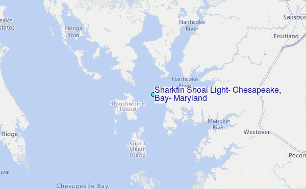
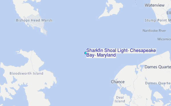
Choose Sharkfin Shoal Light, Chesapeake Bay, Maryland Location Map Zoom:
| Contours: | Roads & Rivers: | Select a
tide station / surf break / city |
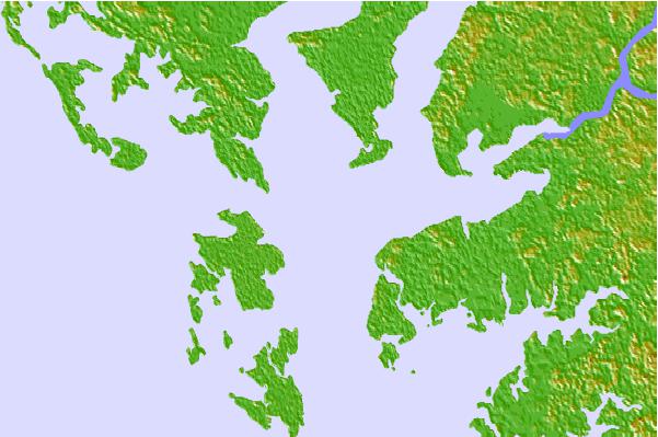

Use this relief map to navigate to tide stations, surf breaks and cities that are in the area of Sharkfin Shoal Light, Chesapeake Bay, Maryland.
Other Nearby Locations' tide tables and tide charts to Sharkfin Shoal Light, Chesapeake Bay, Maryland:
click location name for more details
 Surf breaks close to Sharkfin Shoal Light, Chesapeake Bay, Maryland:
|
||
|---|---|---|
| Closest surf break | Chincoteague | 41 mi |
| Second closest surf break | Out Front | 41 mi |
| Third closest surf break | Assateague | 46 mi |
| Fourth closest surf break | North Assateague (The Wedge) | 48 mi |
| Fifth closest surf break | Outside Shoals | 48 mi |


 Nearest
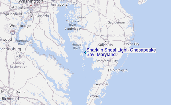