
| Distance / Altitude | Location | Report Date / Time | Live Weather | Wind | Gusts | Temp. | Visibility | Cloud |
|---|---|---|---|---|---|---|---|---|
| 70 km ESE / 15 m | ASCATB153E10S (Marine) | 2025-12-24 21:25 local (2025/12/24 11:25 GMT) | light winds from the E (13 km/h at 80) | — | - km | |||
| 83 km NNE / 15 m | ASCATB153E9S (Marine) | 2025-12-24 21:25 local (2025/12/24 11:25 GMT) | light winds from the E (14 km/h at 89) | — | - km | |||
| 89 km NW / 15 m | ASCATB152E9S (Marine) | 2025-12-24 21:25 local (2025/12/24 11:25 GMT) | light winds from the E (15 km/h at 98) | — | - km | |||
| 102 km SW / 15 m | ASCATB152E10S (Marine) | 2025-12-24 21:25 local (2025/12/24 11:25 GMT) | light winds from the ENE (17 km/h at 68) | — | - km | |||
| 126 km SW / 15 m | ASCATB151E10S (Marine) | 2025-12-24 21:25 local (2025/12/24 11:25 GMT) | light winds from the ENE (13 km/h at 69) | — | - km | |||
| 172 km SE / 15 m | ASCATB153E11S (Marine) | 2025-12-24 21:25 local (2025/12/24 11:25 GMT) | light winds from the E (13 km/h at 93) | — | - km | |||
| 193 km N / 15 m | ASCATB153E8S (Marine) | 2025-12-24 21:25 local (2025/12/24 11:25 GMT) | light winds from the E (15 km/h at 85) | — | - km | |||
| 196 km SSE / 15 m | ASCATB154E11S (Marine) | 2025-12-24 21:24 local (2025/12/24 11:24 GMT) | light winds from the E (14 km/h at 92) | — | - km | |||
| 222 km NW / 15 m | ASCATB152E8S (Marine) | 2025-12-24 21:25 local (2025/12/24 11:25 GMT) | light winds from the ENE (17 km/h at 76) | — | - km | |||
| 225 km W / 15 m | ASCATB151E9S (Marine) | 2025-12-24 21:25 local (2025/12/24 11:25 GMT) | light winds from the E (8 km/h at 98) | — | - km |
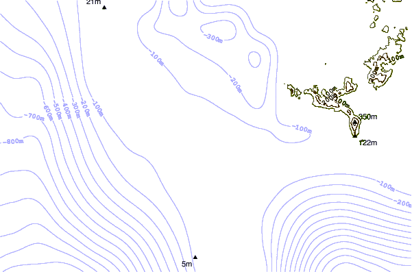
| Contours: | Roads & Rivers: | Select a
tide station / surf break / city |
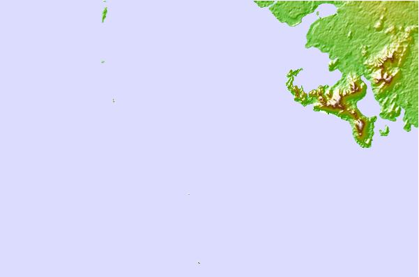
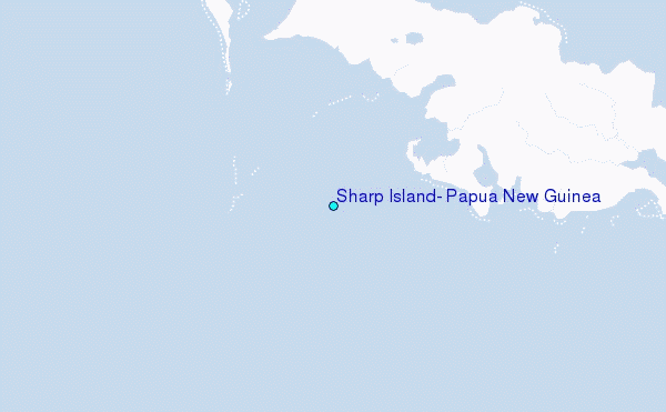
Use this relief map to navigate to tide stations, surf breaks and cities that are in the area of Sharp Island, Papua New Guinea.
Other Nearby Locations' tide tables and tide charts to Sharp Island, Papua New Guinea:
click location name for more details
 Surf breaks close to Sharp Island, Papua New Guinea:
|
||
|---|---|---|
| Closest surf break | Pailongge | 301 mi |
| Second closest surf break | Titiana | 302 mi |
| Third closest surf break | Makuti | 310 mi |
| Fourth closest surf break | Despretes | 318 mi |
| Fifth closest surf break | Skull Island | 322 mi |


 Nearest
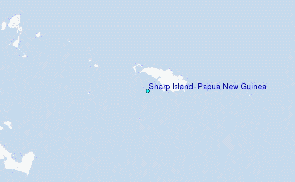