
| Distance / Altitude | Location | Report Date / Time | Live Weather | Wind | Gusts | Temp. | Visibility | Cloud |
|---|---|---|---|---|---|---|---|---|
| 25 km E / 158 m | Benbow wx (United States) | 2025-12-26 02:43 local (2025/12/26 10:43 GMT) | dry | calm (2 km/h at 0) | 9°C | - | - - 0 | |
| 60 km N / 60 m | Fortuna (California) | 2025-12-26 02:24 local (2025/12/26 10:24 GMT) | dry | light winds from the ESE (11 km/h at 120) | 8°C | - | - - 0 | |
| 72 km NW / 122 m | Fortuna (California) | 2025-12-26 02:35 local (2025/12/26 10:35 GMT) | Dry and cloudy | fresh winds from the ESE (33 km/h at 110) | 8°C | 6 | scattered broken overcast | |
| 82 km N / 43 m | Eureka (California) | 2025-12-26 01:49 local (2025/12/26 09:49 GMT) | dry | wind obs. (6 kph from 119 degs) was rejected (- km/h at -) | 8°C | - | - - 0 | |
| 82 km SE / 785 m | Willits (California) | 2025-12-26 02:21 local (2025/12/26 10:21 GMT) | dry | calm (0 km/h at ) | 4°C | - | - - 0 | |
| 83 km NW / - m | SHIP853 (ocean) | 2025-12-26 03:00 local (2025/12/26 11:00 GMT) | - | near gales from the SSE (61 km/h at 160) | 12°C | - | no observation | |
| 83 km NW / - m | SHIP915 (ocean) | 2025-12-26 03:00 local (2025/12/26 11:00 GMT) | - | near gales from the SSE (61 km/h at 160) | 12°C | - | no observation | |
| 83 km NW / - m | SHIP70 (ocean) | 2025-12-26 02:00 local (2025/12/26 10:00 GMT) | - | near gales from the SSE (54 km/h at 160) | 12°C | - | no observation | |
| 83 km NW / - m | SHIP1197 (ocean) | 2025-12-26 03:00 local (2025/12/26 11:00 GMT) | - | near gales from the SSE (58 km/h at 150) | 12°C | - | no observation | |
| 83 km NW / - m | SHIP1195 (ocean) | 2025-12-26 01:00 local (2025/12/26 09:00 GMT) | - | near gales from the SSE (54 km/h at 160) | 12°C | - | no observation |
| Contours: | Roads & Rivers: | Select a
tide station / surf break / city |
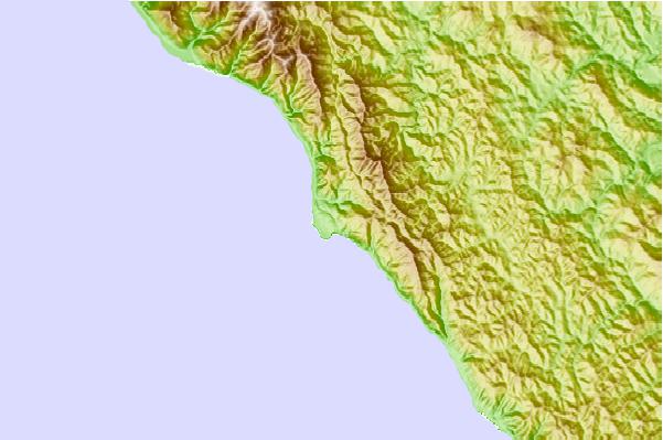
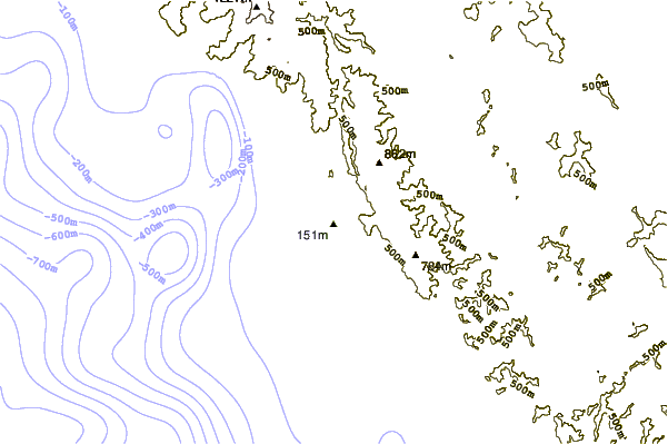
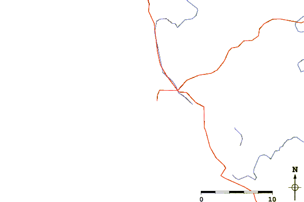
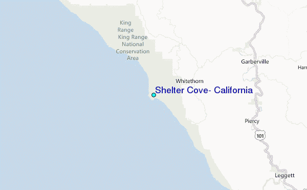
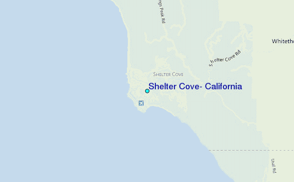
Use this relief map to navigate to tide stations, surf breaks and cities that are in the area of Shelter Cove, California.
Other Nearby Locations' tide tables and tide charts to Shelter Cove, California:
click location name for more details
 Surf breaks close to Shelter Cove, California:
|
||
|---|---|---|
| Closest surf break | Deadman's | 1 mi |
| Second closest surf break | No Pass | 1 mi |
| Third closest surf break | Third Reef | 1 mi |
| Fourth closest surf break | Gale Point | 2 mi |
| Fifth closest surf break | Mckee's Creek | 6 mi |


 Nearest
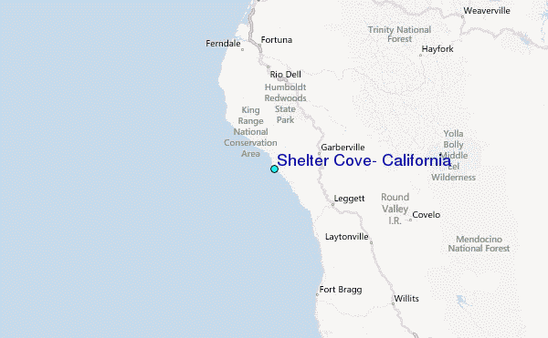