
| Distance / Altitude | Location | Report Date / Time | Live Weather | Wind | Gusts | Temp. | Visibility | Cloud |
|---|---|---|---|---|---|---|---|---|
| 127 km ESE / 411 m | Dzaoudzi/Pamanzi Airport (Comoros) | 2026-04-07 10:00 local (2026/04/07 07:00 GMT) | - | light winds from the SSE (9 km/h at 160) | — | 0.0 | ||
| 133 km WNW / 538 m | Prince Said Ibrahim International Airport/Moroni (Comoros) | 2026-04-07 10:00 local (2026/04/07 07:00 GMT) | Dry and partly cloudy | light winds from the ESE.(Wind varies from 080 to 150 degs) (15 km/h at 120) | 31°C | 10.0 | few scattered | |
| 188 km WSW / 15 m | ASCATB43E12S (Marine) | 2026-04-07 09:32 local (2026/04/07 06:32 GMT) | moderate winds from the E (23 km/h at 81) | — | - km | |||
| 209 km W / 15 m | ASCATB43E11S (Marine) | 2026-04-07 09:31 local (2026/04/07 06:31 GMT) | light winds from the ENE (10 km/h at 69) | — | - km | |||
| 228 km SSW / 15 m | ASCATB43E13S (Marine) | 2026-04-07 09:32 local (2026/04/07 06:32 GMT) | light winds from the ESE (10 km/h at 116) | — | - km | |||
| 266 km WNW / 15 m | ASCATB43E10S (Marine) | 2026-04-07 09:31 local (2026/04/07 06:31 GMT) | light winds from the ESE (17 km/h at 123) | — | - km | |||
| 267 km SSW / 15 m | ASCATB43E14S (Marine) | 2026-04-07 09:32 local (2026/04/07 06:32 GMT) | light winds from the SE (10 km/h at 130) | — | - km | |||
| 303 km WSW / 15 m | ASCATB42E12S (Marine) | 2026-04-07 09:32 local (2026/04/07 06:32 GMT) | light winds from the SSE (15 km/h at 147) | — | - km | |||
| 306 km W / 15 m | ASCATB42E11S (Marine) | 2026-04-07 09:31 local (2026/04/07 06:31 GMT) | light winds from the SE (13 km/h at 130) | — | - km | |||
| 329 km SW / 15 m | ASCATB42E13S (Marine) | 2026-04-07 09:32 local (2026/04/07 06:32 GMT) | light winds from the SSE (13 km/h at 158) | — | - km |
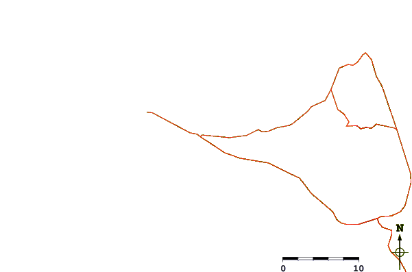
| Contours: | Roads & Rivers: | Select a
tide station / surf break / city |

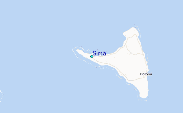
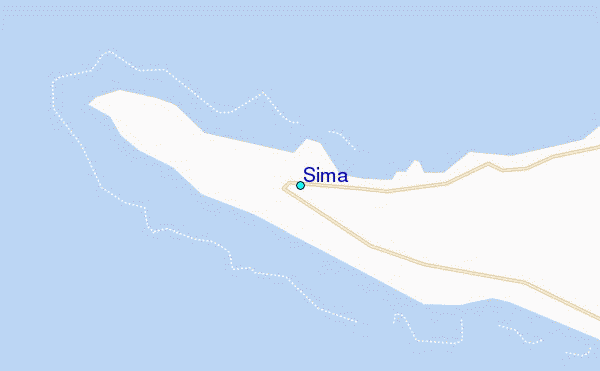
Use this relief map to navigate to tide stations, surf breaks and cities that are in the area of Sima.
Other Nearby Locations' tide tables and tide charts to Sima:
click location name for more details
 Surf breaks close to Sima:
|
||
|---|---|---|
| Closest surf break | Oyster Bay Beach - Coco Beach | 507 mi |
| Second closest surf break | Sea Cliff | 508 mi |
| Third closest surf break | Jam's Right | 510 mi |
| Fourth closest surf break | Nungwi Reefs | 562 mi |
| Fifth closest surf break | Mombasa Channel | 643 mi |


 Nearest