
| Distance / Altitude | Location | Report Date / Time | Live Weather | Wind | Gusts | Temp. | Visibility | Cloud |
|---|---|---|---|---|---|---|---|---|
| 6 km S / 358 m | Tsushima Airport (Japan) | 2024-07-27 08:00 local (2024/07/26 23:00 GMT) | - | light winds from the S.(Wind varies from 110 to 270 degs) (11 km/h at 180) | 28°C | 10.0 | few | |
| 20 km S / 154 m | Izuhara(47800-1) (Japan) | 2024-07-27 08:00 local (2024/07/26 23:00 GMT) | - | light winds from the SSE (19 km/h at 160) | 30°C | 40 km | no observation | |
| 66 km WNW / 3 m | BUOY-22104 South Korea (Marine) | 2024-07-27 09:00 local (2024/07/27 00:00 GMT) | light winds from the S (18 km/h at 190) | 26°C | - | |||
| 66 km WNW / 15 m | SHIP2100 (Marine) | 2024-07-27 07:00 local (2024/07/26 22:00 GMT) | light winds from the S (18.0 km/h at 190) | 24°C | - km | |||
| 75 km SSE / 16 m | Iki Airport (isl (Japan) | 2024-07-27 08:00 local (2024/07/26 23:00 GMT) | Dry and partly cloudy | light winds from the S (11 km/h at 180) | 29°C | 10.0 | no cloud | |
| 66 km WNW / 15 m | SHIP3264 (Marine) | 2024-07-27 09:00 local (2024/07/27 00:00 GMT) | light winds from the S (18.0 km/h at 190) | 25°C | - km | |||
| 66 km WNW / 15 m | SHIP5130 (Marine) | 2024-07-27 07:00 local (2024/07/26 22:00 GMT) | light winds from the S (18.0 km/h at 190) | 24°C | - km | |||
| 66 km WNW / 15 m | SHIP3727 (Marine) | 2024-07-27 08:00 local (2024/07/26 23:00 GMT) | light winds from the S (14.4 km/h at 190) | 25°C | - km | |||
| 66 km WNW / 15 m | SHIP4037 (Marine) | 2024-07-27 08:00 local (2024/07/26 23:00 GMT) | light winds from the S (14.4 km/h at 190) | 25°C | - km | |||
| 66 km WNW / 15 m | SHIP4593 (Marine) | 2024-07-27 07:00 local (2024/07/26 22:00 GMT) | light winds from the S (18.0 km/h at 190) | 24°C | - km |
| Contours: | Roads & Rivers: | Select a
tide station / surf break / city |
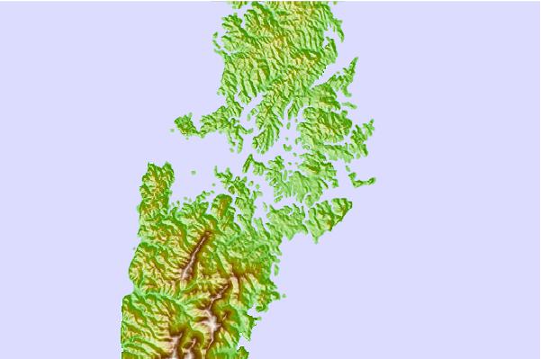
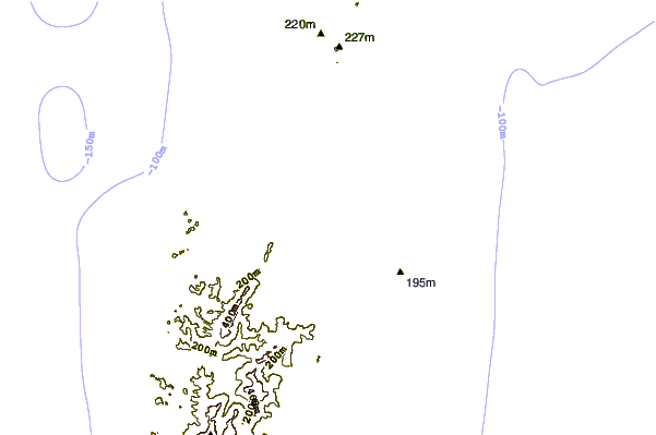
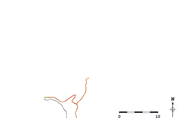
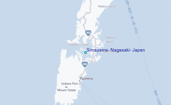
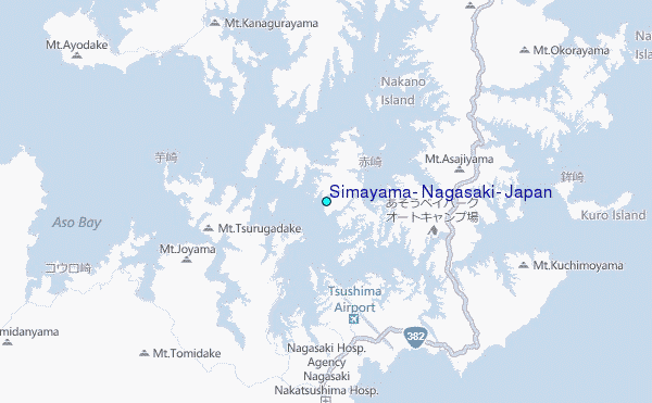
Use this relief map to navigate to tide stations, surf breaks and cities that are in the area of Simayama, Nagasaki, Japan.
Other Nearby Locations' tide tables and tide charts to Simayama, Nagasaki, Japan:
click location name for more details
 Surf breaks close to Simayama, Nagasaki, Japan:
|
||
|---|---|---|
| Closest surf break | Busan (Haeundae Beach) | 59 mi |
| Second closest surf break | Fukuoka | 70 mi |
| Third closest surf break | Nomozaki | 105 mi |
| Fourth closest surf break | Kangjeong (Jejudo Island) | 180 mi |
| Fifth closest surf break | Jungmun Beach (Jeju Island) | 183 mi |

 Nearest
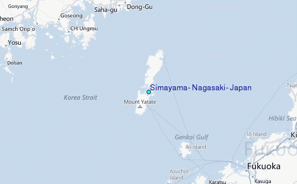