
| Distance / Altitude | Location | Report Date / Time | Live Weather | Wind | Gusts | Temp. | Visibility | Cloud |
|---|---|---|---|---|---|---|---|---|
| 67 km S / 3 m | SHIP6287 (Marine) | 2026-02-23 06:00 local (2026/02/22 23:00 GMT) | light winds from the N (13 km/h at 350) | 25°C | 20.4 | |||
| 71 km S / 216 m | Bali International Airport (Indonesia) | 2026-02-23 07:30 local (2026/02/23 00:30 GMT) | Light rain | light winds from the NW (9 km/h at 320) | 26°C | 7.0 | few broken | |
| 147 km ESE / 97 m | Bandara Airport (Indonesia) | 2026-02-23 07:30 local (2026/02/23 00:30 GMT) | Dry and partly cloudy | light winds from the NW (13 km/h at 320) | 27°C | 7.0 | broken | |
| 270 km W / 2 m | Juanda Airport (Indonesia) | 2026-02-23 07:30 local (2026/02/23 00:30 GMT) | - | light winds from the SW (9 km/h at 230) | 28°C | 8.0 | few | |
| 67 km S / 3 m | SHIP7882 (Marine) | 2026-02-23 06:00 local (2026/02/22 23:00 GMT) | light winds from the N (13 km/h at 350) | 25°C | 20.4 | |||
| 67 km S / 15 m | SHIP6776 (Marine) | 2026-02-23 06:00 local (2026/02/22 23:00 GMT) | light winds from the N (12.96 km/h at 350) | 31°C | 17.7 km | |||
| 67 km S / 15 m | SHIP6312 (Marine) | 2026-02-23 06:00 local (2026/02/22 23:00 GMT) | light winds from the N (12.96 km/h at 350) | 31°C | 17.7 km | |||
| 67 km S / - m | SHIP1062 (ocean) | 2026-02-23 06:00 local (2026/02/22 23:00 GMT) | State of sky unchanged | light winds from the N (13 km/h at 350) | 25°C | 20 km | overcast | |
| 67 km S / 15 m | SHIP3145 (Marine) | 2026-02-23 06:00 local (2026/02/22 23:00 GMT) | light winds from the N (12.96 km/h at 350) | 31°C | 17.7 km | |||
| 70 km S / 216 m | Bali International Airport (Indonesia) | 2026-02-23 07:30 local (2026/02/23 00:30 GMT) | Light rain | light winds from the NW (9 km/h at 320) | 26°C | 7.0 | few broken |
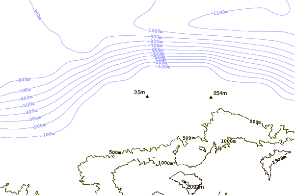
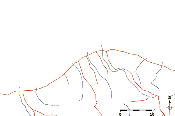
| Contours: | Roads & Rivers: | Select a
tide station / surf break / city |
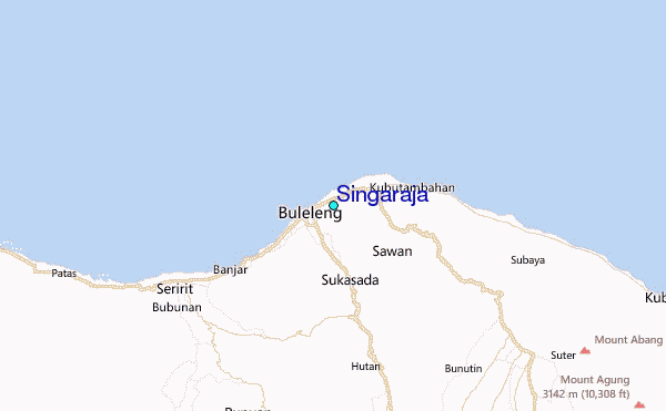
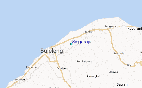
Use this relief map to navigate to tide stations, surf breaks and cities that are in the area of Singaraja.
Other Nearby Locations' tide tables and tide charts to Singaraja:
click location name for more details
 Surf breaks close to Singaraja:
|
||
|---|---|---|
| Closest surf break | Balian | 30 mi |
| Second closest surf break | Medewi | 31 mi |
| Third closest surf break | Keramas | 38 mi |
| Fourth closest surf break | Canggu | 39 mi |
| Fifth closest surf break | Ketewel | 39 mi |


 Nearest
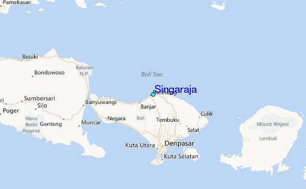