
| Distance / Altitude | Location | Report Date / Time | Live Weather | Wind | Gusts | Temp. | Visibility | Cloud |
|---|---|---|---|---|---|---|---|---|
| 78 km WSW / 14 m | UjungPandangHasanuddin (Indonesia) | 2026-01-23 08:00 local (2026/01/23 00:00 GMT) | - | calm (4 km/h at 110) | 26°C | 30 km | mostly cloudy | |
| 80 km WSW / 217 m | Hasanuddin/Ujung Airport (Indonesia) | 2026-01-23 08:30 local (2026/01/23 00:30 GMT) | - | calm (4 km/h at 90) | 28°C | 10.0 | few | |
| 260 km E / 2 m | Bau-BauBetoAmbari (Indonesia) | 2026-01-23 08:00 local (2026/01/23 00:00 GMT) | - | light winds from the NE (7 km/h at 40) | 28°C | 30 km | mostly cloudy | |
| 322 km NW / 217 m | Majene (Indonesia (sulawesi)) | 2026-01-23 08:00 local (2026/01/23 00:00 GMT) | - | calm (2 km/h at 220) | 27°C | 32 km | overcast | |
| 393 km ENE / 0 m | lightning 113km NE of Kendari (Indonesia) | 2026-01-23 07:29 local (2026/01/22 23:29 GMT) | Thunderstorm | (- km/h at -) | — | |||
| 412 km N / 2 m | PosoKasiguncu (Indonesia) | 2026-01-23 08:00 local (2026/01/23 00:00 GMT) | - | calm (4 km/h at 250) | 26°C | 30 km | - scattered - | |
| 415 km S / 2 m | BimaM.salahuddin (Indonesia) | 2026-01-23 08:00 local (2026/01/23 00:00 GMT) | State of sky unchanged | wind obs. (6 kph from 110 degs) was rejected (- km/h at -) | 26°C | 26 km | - mostly cloudy - | |
| 461 km SE / 0 m | lightning 106km NE of Maumere (Indonesia) | 2026-01-23 08:30 local (2026/01/23 00:30 GMT) | Thunderstorm | (- km/h at -) | — | |||
| 467 km N / 6 m | PaluMutiara (Indonesia) | 2026-01-23 08:00 local (2026/01/23 00:00 GMT) | - | calm (4 km/h at 140) | 24°C | 30 km | - mostly cloudy - | |
| 479 km E / 0 m | lightning 228km ENE of Katabu (Indonesia) | 2026-01-23 08:51 local (2026/01/23 00:51 GMT) | Thunderstorm | (- km/h at -) | — |
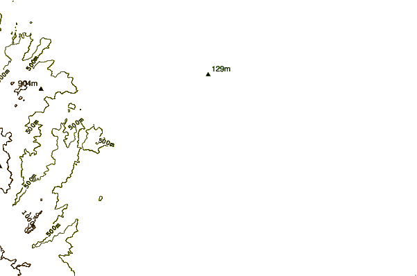
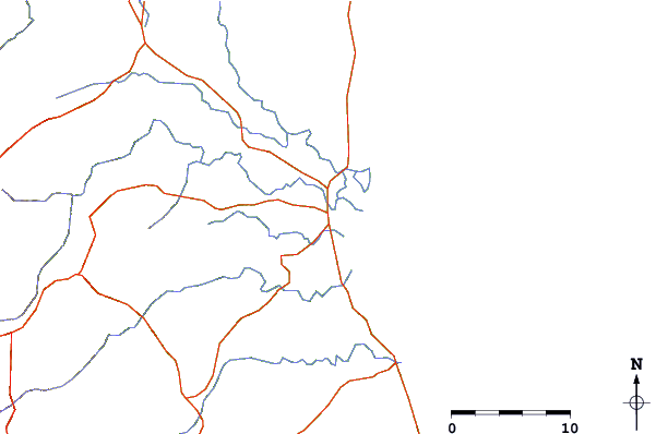
| Contours: | Roads & Rivers: | Select a
tide station / surf break / city |
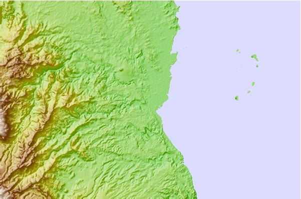
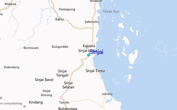
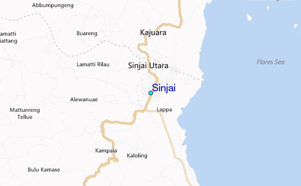
Use this relief map to navigate to tide stations, surf breaks and cities that are in the area of Sinjai.
Other Nearby Locations' tide tables and tide charts to Sinjai:
click location name for more details
 Surf breaks close to Sinjai:
|
||
|---|---|---|
| Closest surf break | Nungas | 284 mi |
| Second closest surf break | Periscope Point | 284 mi |
| Third closest surf break | Lakey Peak | 285 mi |
| Fourth closest surf break | Lakey Pipe | 285 mi |
| Fifth closest surf break | Cobblestones | 287 mi |


 Nearest
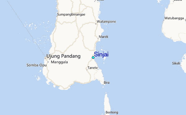