
| Distance / Altitude | Location | Report Date / Time | Live Weather | Wind | Gusts | Temp. | Visibility | Cloud |
|---|---|---|---|---|---|---|---|---|
| 29 km E / 3 m | West Orca Bay Buoy (Marine) | 2026-06-20 08:50 local (2026/06/20 16:50 GMT) | light winds from the SW (11 km/h at 230) | 9°C | - | |||
| 42 km SE / 3 m | Seal Rocks Buoy (Marine) | 2026-06-20 08:50 local (2026/06/20 16:50 GMT) | - (0 km/h at -) | — | - | |||
| 42 km NE / 3 m | BUOY-BLIA2 (Marine) | 2026-06-20 09:00 local (2026/06/20 17:00 GMT) | light winds from the W (9 km/h at 280) | — | - | |||
| 60 km W / 3 m | W Prince William Sound Buoy (Marine) | 2026-06-20 08:50 local (2026/06/20 16:50 GMT) | calm (4 km/h at 270) | 10°C | - | |||
| 64 km W / 3 m | BUOY-PPXA2 (Marine) | 2026-06-20 09:02 local (2026/06/20 17:02 GMT) | light winds from the SW (8 km/h at 230) | 11°C | - | |||
| 68 km NNE / 3 m | BUOY-POTA2 (Marine) | 2026-06-20 09:00 local (2026/06/20 17:00 GMT) | - (0 km/h at -) | 11°C | - | |||
| 71 km NNE / 3 m | BUOY-MRKA2 (Marine) | 2026-06-20 09:00 local (2026/06/20 17:00 GMT) | calm (2 km/h at 270) | 11°C | - | |||
| 72 km NE / 15 m | SHIP4805 (Marine) | 2026-06-20 08:00 local (2026/06/20 16:00 GMT) | - (- km/h at -) | — | - km | |||
| 72 km NE / 15 m | SHIP6601 (Marine) | 2026-06-20 08:00 local (2026/06/20 16:00 GMT) | - (- km/h at -) | — | - km | |||
| 72 km NE / 15 m | SHIP1943 (Marine) | 2026-06-20 08:00 local (2026/06/20 16:00 GMT) | - (- km/h at -) | — | - km |
| Contours: | Roads & Rivers: | Select a
tide station / surf break / city |
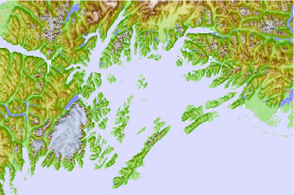
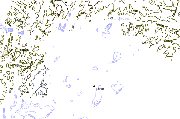
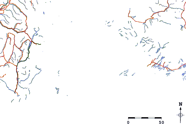
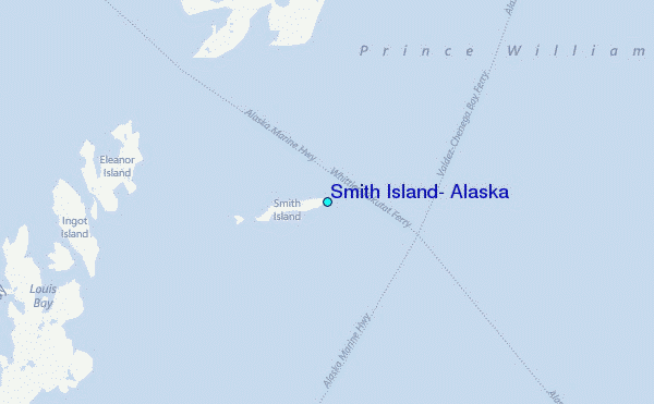
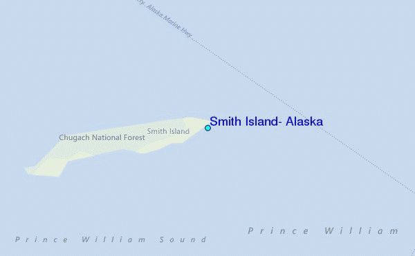
Use this relief map to navigate to tide stations, surf breaks and cities that are in the area of Smith Island, Alaska.
Other Nearby Locations' tide tables and tide charts to Smith Island, Alaska:
click location name for more details
 Surf breaks close to Smith Island, Alaska:
|
||
|---|---|---|
| Closest surf break | Bird Point (Tidal Bore) | 139 mi |
| Second closest surf break | Termination Point | 258 mi |
| Third closest surf break | Mill Bay | 259 mi |
| Fourth closest surf break | Monashka Bay | 260 mi |
| Fifth closest surf break | Ocean Cape | 266 mi |


 Nearest
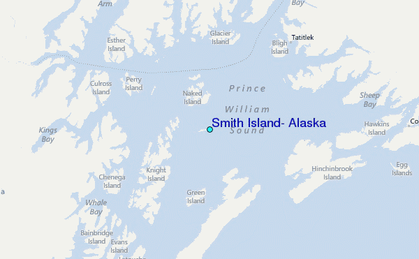