
| Distance / Altitude | Location | Report Date / Time | Live Weather | Wind | Gusts | Temp. | Visibility | Cloud |
|---|---|---|---|---|---|---|---|---|
| 223 km SE / 3 m | Taro Island (Solomon Islands) | 2025-12-25 14:00 local (2025/12/25 03:00 GMT) | Distant precipitation but not falling at station | light winds from the N (9 km/h at 360) | 31°C | 20 km | - scattered - | |
| 354 km WNW / 0 m | lightning 132km N of Rabaul (Papua New Guinea) | 2025-12-25 14:16 local (2025/12/25 03:16 GMT) | Thunderstorm | (- km/h at -) | — | |||
| 416 km SE / 6 m | Munda-New Georgia (Solomon Islands) | 2025-12-25 14:00 local (2025/12/25 03:00 GMT) | distant precipitation but not falling at station | - (- km/h at -) | 25°C | 4000 | - - - | |
| 495 km WSW / 0 m | lightning 69km N of Kimbe (Papua New Guinea) | 2025-12-25 12:30 local (2025/12/25 01:30 GMT) | Thunderstorm | (- km/h at -) | — | |||
| 531 km SE / 2 m | Penrhyn Island (Samoa) | 2025-12-25 13:00 local (2025/12/25 02:00 GMT) | - | moderate winds from the N (28 km/h at 10) | 26°C | |||
| 545 km WNW / 4 m | Kavieng W.o. (Papua New Guinea) | 2025-12-25 14:00 local (2025/12/25 03:00 GMT) | no report | wind obs. (22 kph from 180 degs) was rejected (- km/h at -) | 30°C | 30 | - | |
| 599 km ESE / 0 m | lightning 55km SW of Buala (Solomon Islands) | 2025-12-25 12:03 local (2025/12/25 01:03 GMT) | Thunderstorm | (- km/h at -) | — | |||
| 714 km SSW / 23 m | Gurney (Papua New Guinea) | 2025-12-25 14:00 local (2025/12/25 03:00 GMT) | distant precipitation but not falling at station | - (- km/h at -) | 26°C | 30 | - - - | |
| 718 km WSW / 0 m | lightning 109km N of Finschhafen (Papua New Guinea) | 2025-12-25 14:16 local (2025/12/25 03:16 GMT) | Thunderstorm | (- km/h at -) | — | |||
| 718 km SE / 182 m | Honiara (Solomon Islands) | 2025-12-25 14:00 local (2025/12/25 03:00 GMT) | moderate to heavy rain showers | wind obs. (22 kph from 180 degs) was rejected (- km/h at -) | 24°C | 10 | - |
| Contours: | Roads & Rivers: | Select a
tide station / surf break / city |
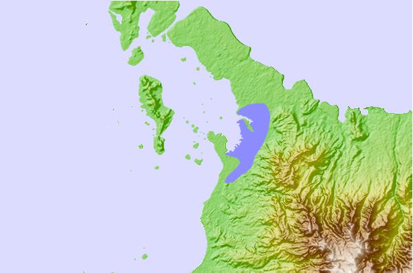
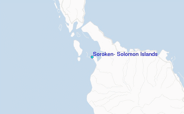
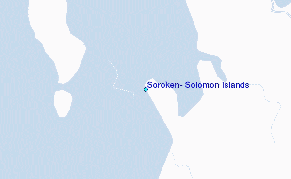
Use this relief map to navigate to tide stations, surf breaks and cities that are in the area of Soroken, Solomon Islands.
Other Nearby Locations' tide tables and tide charts to Soroken, Solomon Islands:
click location name for more details
 Surf breaks close to Soroken, Solomon Islands:
|
||
|---|---|---|
| Closest surf break | Raiven | 180 mi |
| Second closest surf break | Duke of York | 181 mi |
| Third closest surf break | Pailongge | 226 mi |
| Fourth closest surf break | Rubio | 227 mi |
| Fifth closest surf break | Titiana | 227 mi |


 Nearest
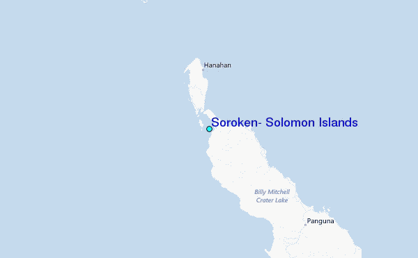